Static survey with Emlid reach M+

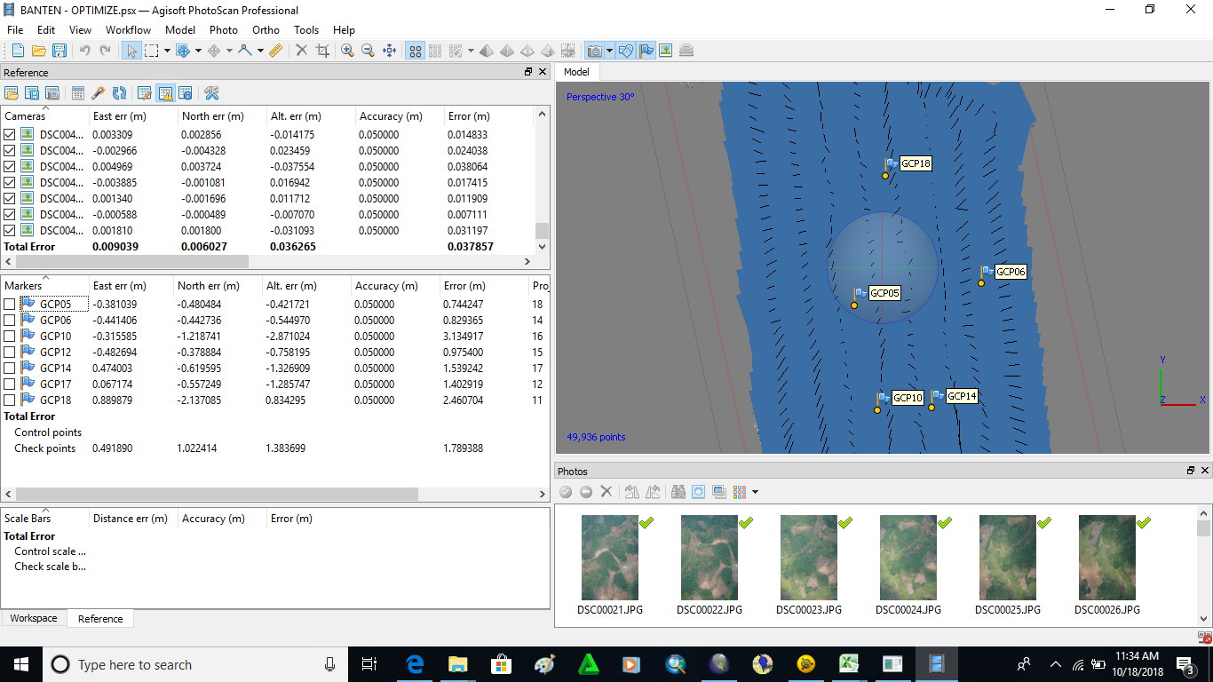
I did GCP (ground control point) survey
emlid reach M + is used for gcp survey and processed by static methods
static processing results have been fixed 100%
emlid measurement results are used to be used as check points in photo processing at agisoft
error results in agisoft: East err 0.49 m, North err 1.02 m, Alt err 1.38 m.
results must be below 10cm
anyone can help?

Here’s the pictures of survey


result agisoft

  • GCP should be in a flat surface with also flat material for better results
  • Antenna when measuring GCP should be level.

Also raise the antenna further up. Like 2m or so, above obstruction. Make sure you have a propper groundplate. 5cm radius

3 Likes

so it’s a big error because the antenna is on the ground?

Thank you

Other gcp is in a flat place but the results are still a big error
maybe from the antenna that must be raised higher?

Thank you

You have trees behind : possible mask.
Reach antenna does not seem level. You need this on a tripod or bipod

mini-niveau-a-bulle-18-mm

Also with static if there is no correction from base you could not expect better !

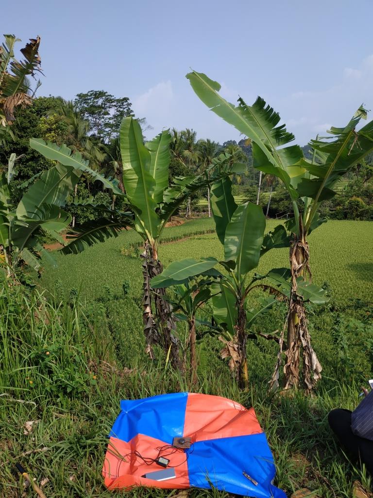
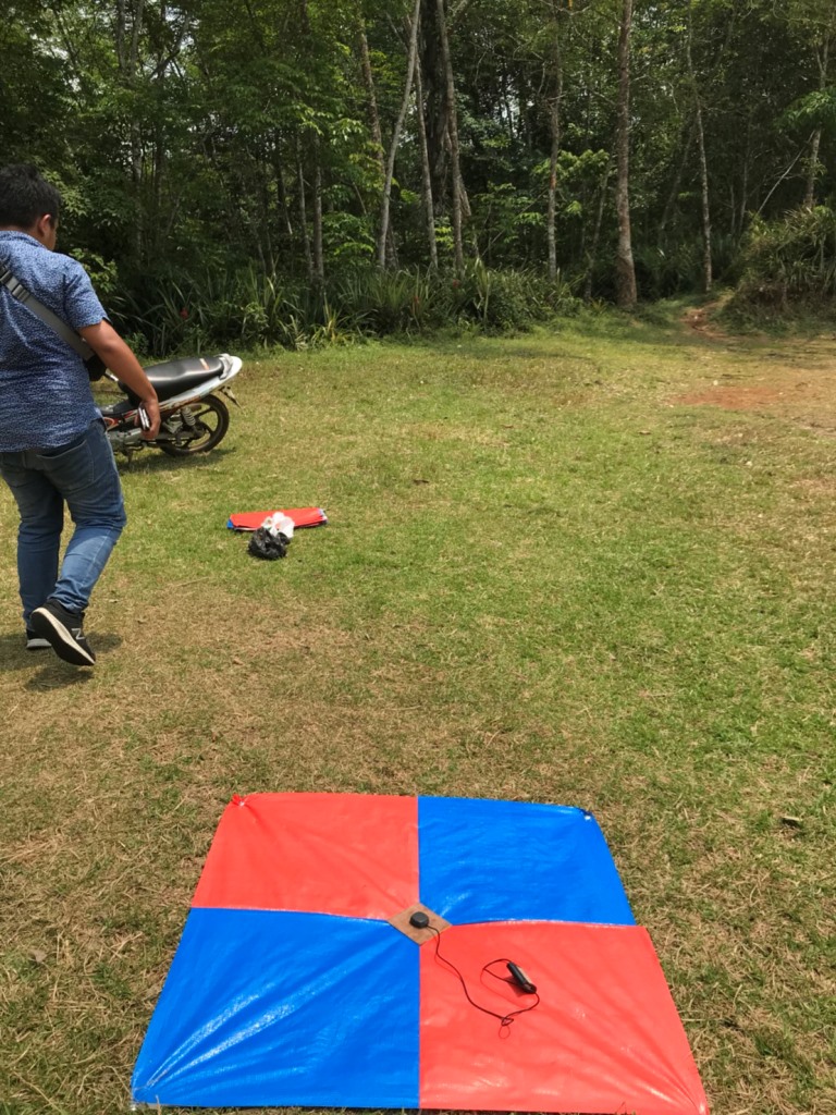
You’ll get a a lot of false reflection (multipath) from those tree. Raising up the antenna will decrease this drastically. In your environment, preferably 3 meters or more.

Also make sure your base is located at a site with very good skyview. That’s essential for good accuracy.

Hi @nursarinaldo,

Did you have time to test with raised antenna?

This topic was automatically closed 100 days after the last reply. New replies are no longer allowed.