I´m trying to stablish an absolute position with my base station, I have the observation file of the nearest CORS but they don´t upload their “broadcast ephemerides” . I have the precise ephemerides from NASA but there is no option in EmlidStudio to use it, do you have a solution for this issue? Using TBC (Trimble Bussiness Center) I got a precise absolute coordinate using the ephemerides from NASA (https://cddis.nasa.gov/Data_and_Derived_Products/GNSS/GNSS_data_and_product_archive.html)
I made an answer but deleted it because I misunderstood the original issue.
In Emlid Studio you cannot use precise ephemerides file. If you want to use them, you should process your data with RTK POST instead.
We indeed don’t have a feature for uploading precise ephemerides in addition to ephemerides from the .nav file. But I’d suggest you a workaround to obtain an absolute accuracy of the base.
You can use the PPP technique. It allows you to calculate the base’s coordinates with centimeter-level accuracy using the ionospheric corrections, precise ephemerides, and clock. They are provided by the PPP services such as Canadian NRCAN CSRS, Australian AUSPOS 3.0, and Brazilian IBGE. According to your working area, you can use one of those services, they are free-to-use. To acquire how to do that, you can check our guide.
Florian and Kirill, thanks for your reply . In my research I collected data for a period of 6 months in the same area and I always installed/set the base station on the same bench mark that I defined as a reference point for the proyect. By using the PPP option (brazilian and canadian services) in the past I always got different absolute coordinates with an error of [20- 50] [cm] among each other (with logs of 8 up to 12 hrs) . When I did the same exercise, but using a national CORS station (from a seismological GNSS station) with dual frecuency and a log of 23:59:59 hrs of observations the errors were in the order of a few milimiters. So, that´s why I chose to compute the base line with the neareast CORS station (in this case 40 [km] away). I was interest in obtain not only the coordinates, but in measuring the vector between the base and the rover each time I went out to measure (I´m estimating the speed on which the glacier moves). For now I will keep working with the TBC plataform for the post-process and analysis of the data. Emlid GNSS RS+ antennas are a great tool, the relation quality/price is the best by far, but I would love to see in the future an Emlid software that can compute GNSS networks, base lines in paralell and so on. I´m available to share my insights about the use of the antennas and the post-processing of the data and when I publish this study I will feed you back with new ideas.
So you are using the RS+ receiver, right ? That may explain why you have poor repeatability in PPP. PPP is not really good with single band data because the algorithm simply cannot deal correctly with ionospheric errors. Differential GNSS will definitely do better in that case.
I confirm Florian’s words regarding Reach RS+ compatibility with the PPP services. Its best accuracy with PPP will be about 30 cm.
It sounds curiously since the baseline for a single-band Reach RS+ in PPK is up to 30 km due to our documentation. However, it’s great that you obtained high accuracy in these conditions!
Thank you for your warm words about Reach RS+ receiver
We continuously work on improving Emlid Studio, and we’ve recently released the first stable version of it. We don’t have this functionality yet, but it can be a complex feature request. I’ll discuss with the team whether we have plans of implementing it.
Thanks for your reply, Kirill. By the way when I said “When I did the same exercise, but using a national CORS station (from a seismological GNSS station (CSN) - Chile*) with dual frequency and a log of 23:59:59 hrs of observations the errors were in the order of a few milimiters” I meant that I did a PPP process using the IBGE and Canadian GNSS service and the dual frequency GNSS antenna of CSN. Emlid RS+ looses accuracy as a function of the baseline length, and I agree that 30 km is a reasonable distance to operate with PPK with only one band. Saludos!
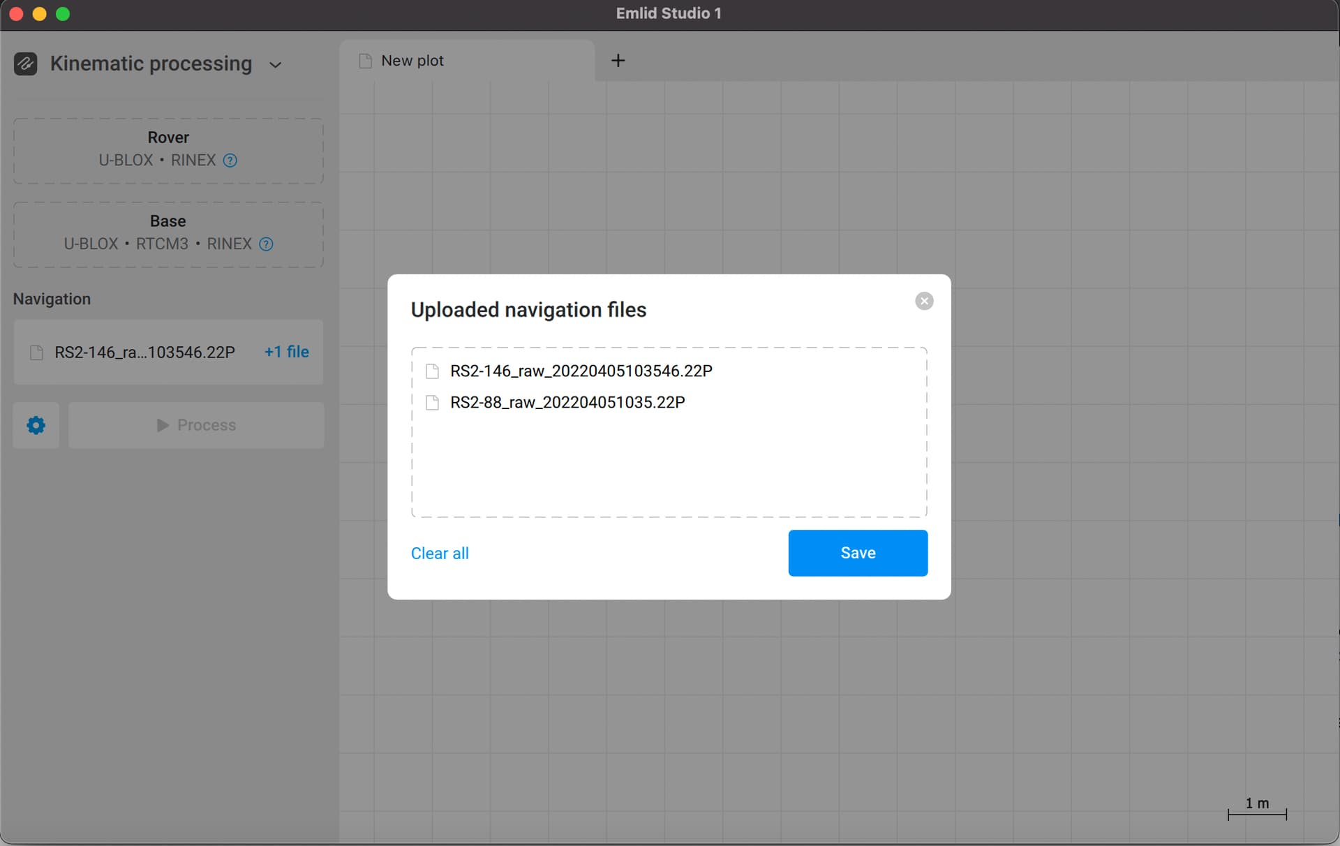
I’ve just double-checked the ability to import several navigation files in Emlid Studio, as you mentioned in the initial post. And finally, it’s possible, but in the stable version. You can download it from our docs.
I suppose that you can add NASA precise ephemerides file in addition to the CORS navigation file if its format is readable by Emlid Studio.