


Hi All,
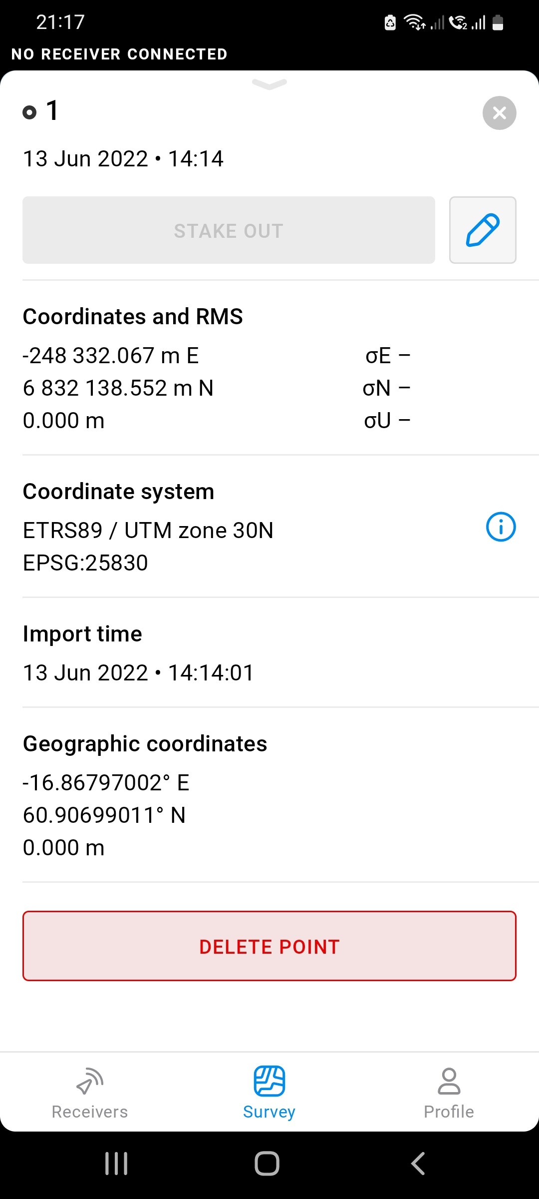
I am trying to stake out some point on an archaelogical site with 2 RS2. I have created the points in QGIS and transfered them into the Reach App. The problem I am having is that the elevation is 75m out when I go to the positions.
Is this CRS issue or am I missing something. I am in the UK and thought I had my QGis points set up correctly. Any help would be great.
1 Like
Can you provide a coordinate and what you think the elevations for the comparison are? Did you use a geoid for stakeout?
Michael,
do you have any advise on how create points in QGIS with elevations. I downloaded the SRTM downloader and got the data. But not sure how to apply it to shapefile points.
In QGIS, you can use the Sample raster values tool to write DEM values to vector points. It should create a new layer with Z values baked in the geometries, not just a field in the attribute tables.
You can look for the tool in the Processing toolbox.
3 Likes
Thanks Gabriel
1 Like
Hi guys,
James, I see you’ve already found out why heights weren’t there. Can’t say much about exporting them from QGIS. But I hope that Gabriel’s suggestion will help you.
This topic was automatically closed 100 days after the last reply. New replies are no longer allowed.