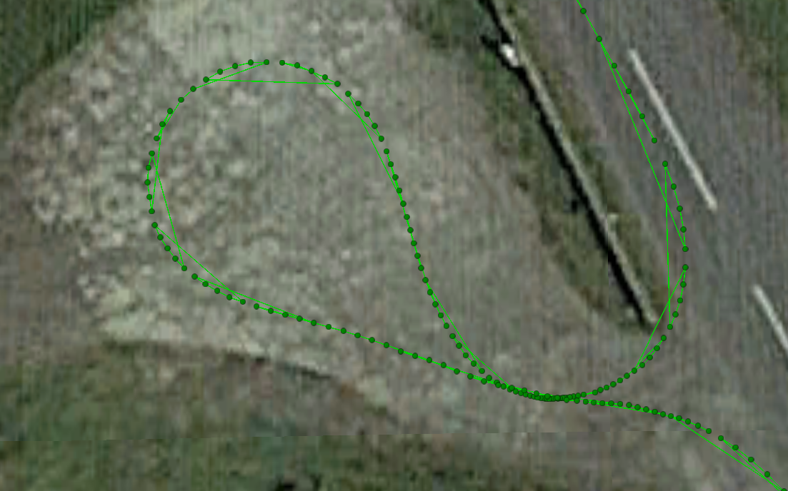
I saw something a few weeks ago which suggested that the output from my rover was out of sequence. The solution was on float. Attached RTKPlot. See how the the points are correct but the linking line jumps about between them?

Yesterday I saw the same with a full fix (correction via 3G, about 3km from the base) when doing some comparative tests with an M8U. Attached view from Google Earth. Is this something to be concerned about?