


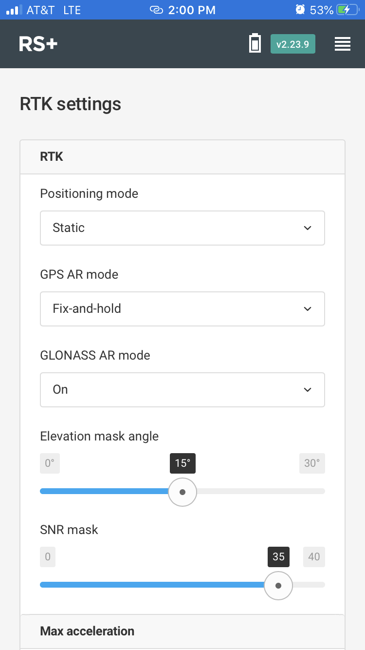
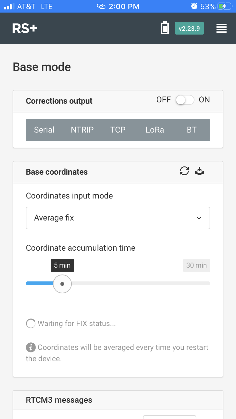
Hi Everyone. Yesterday I was in the field taking measurements with the RS+ and I was having some trouble. I am hoping to get some feedback and what to try next. The situation is that I am trying to get simple GNSS coordinates at about 6 points over a multi-acre area. There is a lot of sky to been seen from all points, however, some of them tend to be down in sink areas and can been near embankments or trees (areas I seemed to have more trouble). The open sky areas that were higher seemed to do better. I am using an CRTN network for NTRIP, which was based about 50 miles from my location. I seemed to be receiving corrections no problem, although occasionally my internet would drop. I am trying to wait for a ‘fix’ then do a 5 minute average, after which I take note of the readings and move to the next point. I was having trouble getting a fix at all (especially in low areas) even though I had good signals from like 8-9 satellites. I am going to attach my settings so people can review them. Can anyone please suggest settings changes or any approach that I may be doing in correctly. Thank you. I have heard the fix can be much quicker with multi-frequency like the RS2 and I’m thinking about using a solution like this.
Hello,
I’m afraid a 50 miles baseline is too long for a single frequency-receiver, the obstructions nearby won’t do any good either. ( Single vs Muliti band ).
The RS2 gets a fix in a couple of seconds, and also it is way more robust against sub-optimal sky-view.
Hi @jherbranson,
Reach RS+ is a single-band receiver, so it’s essential to make sure that the baseline doesn’t exceed 6 miles in RTK. I’m afraid that 50 miles baseline is extremely long not only for the single-band receiver but for the multi-band one too. That’s why for RS+, it’s quite challenging to obtain Fix. Please, try to use a different caster with a closer mount point.
Just wanted to mention that ReachView has a Survey tool that is more convenient for point collection. You can use it to save the coordinates of the points in the project and export it after the survey. Please check this guide for more details.
That’s right. RS2 is a multi-band receiver, so it takes only a few seconds to reach a centimeter-level accuracy. This can be achieved by keeping RS2 in the baseline up to 36 miles and according to the placement requirements. As Andy has mentioned, RS2 can maintain robust performance even in somewhat challenging conditions like urban or partially wooded areas. You can learn more about the correct placement of RS2 in our guide.
This topic was automatically closed 100 days after the last reply. New replies are no longer allowed.