Share sample data
Dear Community
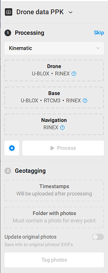
I have a plan to buy the “Reach M2 + Reach RS2” package for drone mapping, so I’m looking for a sample project to process and learn details of “Drone data PPK” in Emlid Studio using mentioned package.
this project should contain:
1- Drone GNSS data
2- Base GNSS data
3- Navigation data
4- Timestamps
5- some photos (to test geotagging)
I want to check the accuracy of the results before I start to buy emlid equipment for drone mapping.
can you please share such sample data with me?


