I am currently post processing Reach data I collected a few weeks ago from the coast using RTKpost. I needed to correct my base station coordinates relative to the permanent GPS stations in the area. I input MY raw base station data into the “OBS Rover” section and the permanent station into the “OBS Base Station” section. All other required files were input and Q=1 came out to be 100%.
However, when I show the statistics, my RMS value is around 140,000 meters which is horrible.
I surveyed the same area the day after and when post processing that data, everything ran smoothly and the RMS value was about 0.02 meters.
Any comments or ideas as to why the first RMS value is so large?
Can’t access your files. Can you please share them via Google Drive or WeTransfer? If you want to keep the data private, you can send it to support@emlid.com.
Sorry for the silence here! Julia is out sick, so I’ll take care of your case.
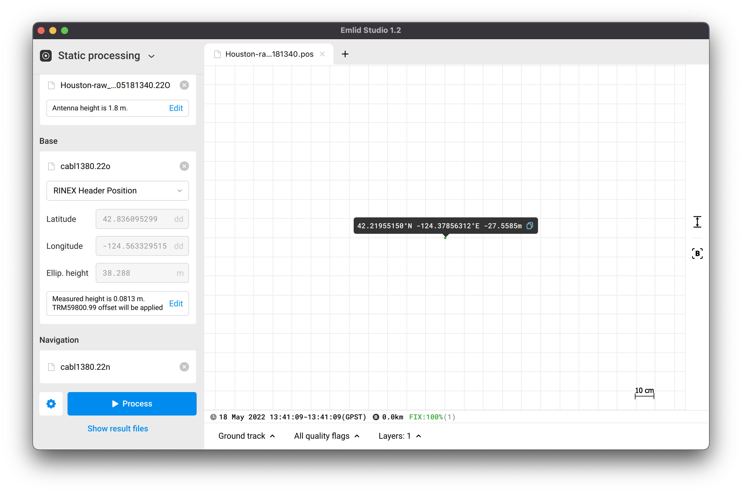
I see that you post-processed logs in RTKLib. I did it with Emlid Studio and didn’t notice any similar RMS value. You can check the result here. I also attached the screenshot. Houston-raw_202205181340.pos (1.1 KB)