


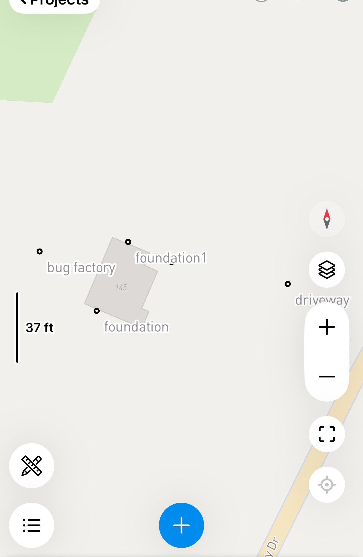
I reached purchased an emlid rsv3. I was able to record some points and am experimenting sending them in a dxf file to autocad lt. when the points show up in autocad they are very very small with large text all jumbled together on top of the text for all the points. Anyway to transfer it in as shown on my emlid flow app?

Base AutoCAD? Not Civil 3D?
AutoCAD command “pdmode”
2 Likes
It’s autocad LT. not 3d.
1 Like
I was actually going to ask the same question today.
The dxf data transfers to ACAD LT and I can change the point size with PDMODE but cannot change the text sizes for point ID, elevation, etc.?
thanks for any advice
There are a few add-ins out there that help with points in AutoCAD but I’m not sure if they are compatible with LT. Here’s one that I came across years ago. There are also ways to import a CSV into QGIS, style it and export all the attributes to DXF.
2 Likes
I probably should have also mentioned it’s autocad LT on Mac. Geolocation is not supported apparently on Mac.
That definitely makes a difference. Geographic location shouldn’t be an issue regardless. It’s just XYZ values and all you should have to do is make sure the units are correct. On some project I actually prefer to run Civil 3D with no coordinate system because bad things can happen if both the base file and another file being xref’d in have different settings but the data XYZ matches it could shift or rotate just enough to mess things up but not be able to see. Particularly when you are using a “USft” CRS and everything runs in standard feet now.
I guess you’re kind of stuck if you already have licensing for LT on Mac, but you might consider switching to a Windows version and running it on parallels is another workaround isn’t found. You should still be able to run QGIS though.