


Im using an RS2 to gain a RINEX file to PPK LiDAR data. I need the base point collected via NTRIP to be the exact phase center of the RS2 vs incorporating the pole plus 134mm taking that point to the ground. Am I able to incorporate a negative number of -0.134 in order to get it to the exact phase center? While I know I can do some math, I would rather let the system do it all.
Why not use the antenna profile?
Can you explain what you are referring to?
@polina.buriak any chance of getting a simple checkbox in this screen that states “Phase Center” and it would set the pole height to zero and deduct for the bottom to center measurement?
Depending on the system, with an antenna calibration file or an online definition, you can simply measure your base from the ground to the ARP, which is the bottom of the receiver. The system takes care of the rest with the calibrated APC values. For example here with OPUS, they describe exactly this in the To use OPUS… section at point 3:
https://geodesy.noaa.gov/OPUS/about.jsp
2 Likes
Hi Seth,
If you enter the zero pole height in the ReachView 3 app Survey tool, it will collect the position of the receiver’s antenna reference point. In most cases, it’s convenient for collecting points with the rover since after entering the pole’s height you will get positions on the ground.
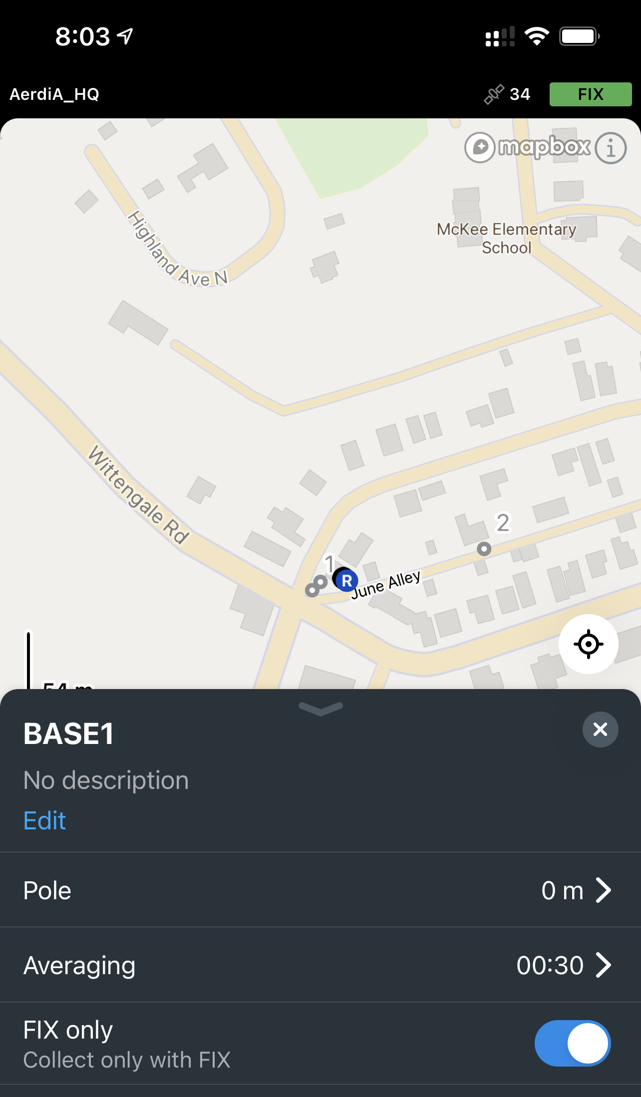
To get the Reach RS2 base coordinates with NTRIP, you can average base position in Fix in the ReachView 3 Base mode tab. In this case, the position of the antenna phase center will be determined. If this option doesn’t suit your needs, may I ask you to elaborate on why you would like to collect the base coordinates with the Survey tool?
2 Likes
This topic was automatically closed 100 days after the last reply. New replies are no longer allowed.