


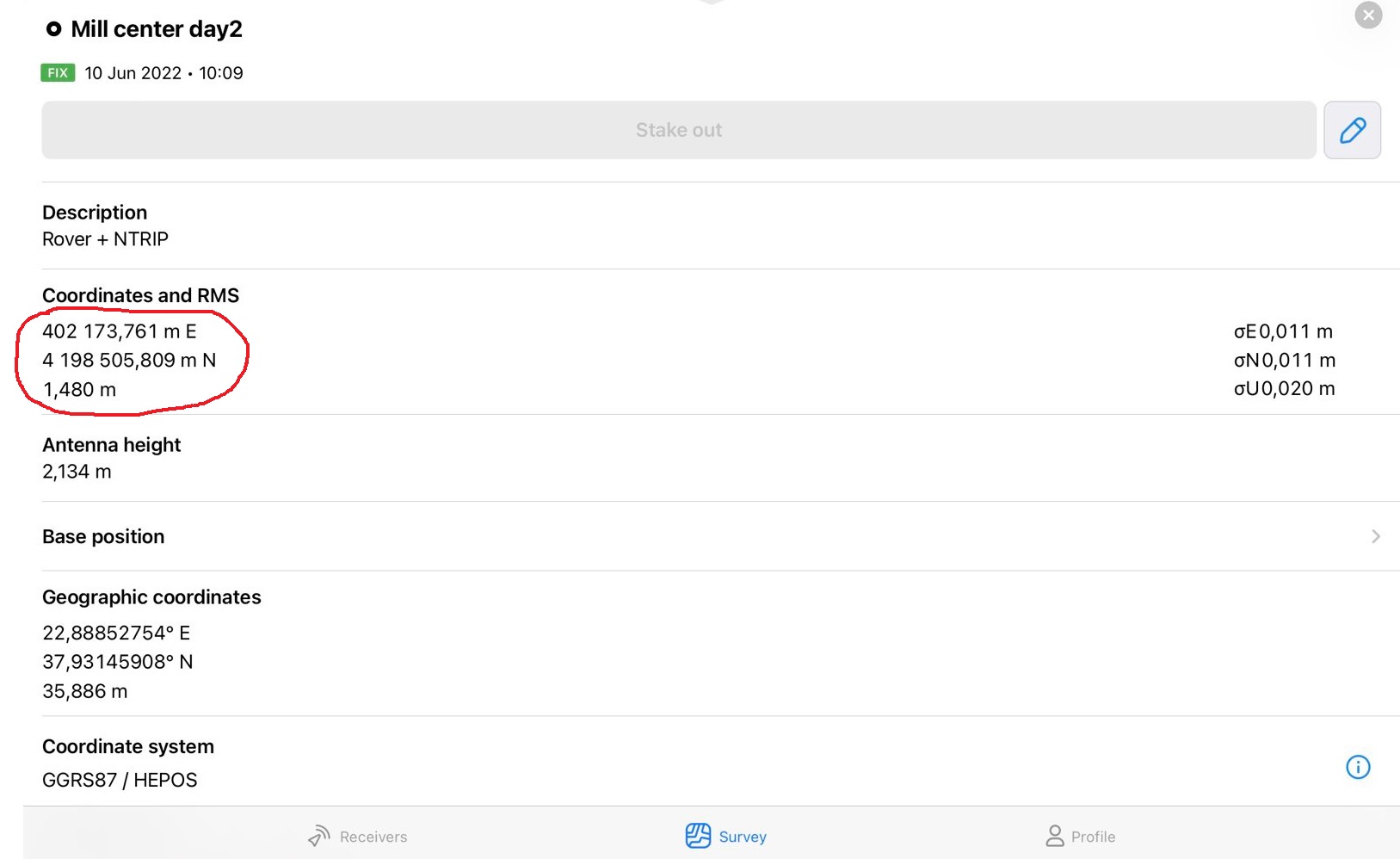
Is it possible in Emlid Flow to display the Coordinates and Elevation (after taking a point) without spaces for every 1000 meters and to have a period between the decimals instead of the comma? I sometimes need to copy/paste the coordinates into a 3rd party app, but it does not accept the spaces and commas. This entails more manual editing.
Hi Lucas,
Is it possible in Emlid Flow to display the Coordinates and Elevation (after taking a point) without spaces for every 1000 meters and to have a period between the decimals instead of the comma?
There’s no such option, but the coordinates are exported in this format in a CSV file. Usually, other apps accept points’ coordinates as a CSV. So, you can try uploading them this way.
If it doesn’t work for you, it’d be great if you could tell me more about your workflow. How do you use these coordinates in another app? Also, which 3rd-party app are you working with?
Hi,
The app is called iDig (https://idig.tips/) and it is for recording archaeological excavations using iPads or iPhones. One can take points directly in the app with a Leica total satiation, but for GNSS it is necessary to copy/paste the coordinates. Importing from a CSV is possible, but it is better to record the points along with other excavation annotations in real time. So, the copy/paste from Emlid Flow is the best option even if the cumbersome manual edits are required.
Hi Lucas,
Got it, thanks for the details! I’ve saved your request so that we can keep it in mind for the future.