I want to find the distance between two rover points in the field in realtime. I want to mark a first point with my rover then move the rover to a second point and see in realtime what the distance (ENU) is from the first point without having to save and post-process the data.
Is there any way to do that with ReachView 3 or any third party software on an Android tablet?
I don’t have experience with third party surverying apps but I’m pretty sure it’s possible in there so someone else can chime in with suggestions on that front.
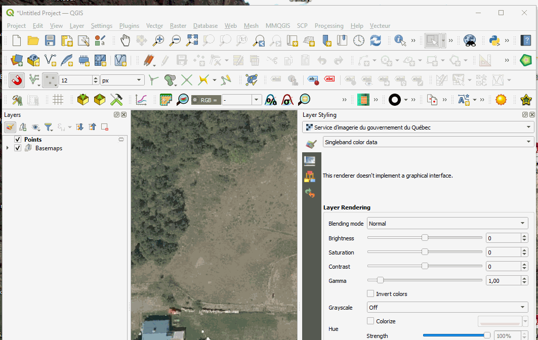
That being said, I know it could also be done with QField by setting up geometry generator symbologies (basically special symbologies where you create virtual geometries from the original one). You’d need to build the expression in QGIS first but the symbology would be visible in QField too. The only caveat is that a point entity needs to be recorded before the distance is visible. Here’s a quick example I whipped up in 5 minutes. It’s not exactly what you asked but with a little fiddling around it could do it. Right now it creates a line and labels it indiscriminately between every neighboring points. If you want dX,dY,dZ, it’s just a matter of building the expression accordingly. Open the gif in a new window to see it in full resolution.
Hmm, it sounds to me like one of COGO features. Among other things, they allow working with polylines in real-time. So seeing a distance between 2 collected points should also be available.
We plan to support such features in ReachView 3 in the future. But I have to say that they are quite complex, so their implementation takes some time.
As for 3rd-party apps for this purpose, I can join Gabriel in the suggestion of using QField. This app is free and available from Google Play. To integrate Reach with the Android apps, you can use the Mock location feature. And here is a step-by-step guide that’ll help you apply it.
For QField, at least, mock location is not even needed, If Reach is Bluetooth paired with the android device, then the app can use the BT position stream directly.
I think you mean to put my basestation over my first reference point and then use the rover to read the relative distance. That’s a great start, except that I’m hoping for both changes in distance and height. As well, some of my work is in messy shrubs and hills so it makes planting the base station a bit more difficult!
Qfield looks like it’s not for the faint of heart. So far I’ve only used ReachView and done the post-processing on my own in Python. That being said, Qfield looks very powerful and is something to consider spending the time to learn!
Yeah, I don’t want to misrepresent QGIS/Field as something that anyone can just hop into easily. I just wanted to show it’s possible. I actually spent another 5 minutes after making my first post and wrote the rest of the expression to show dX/Y/Z.
The true power of this app is that you can custom build your forms and symbology in the office with a degree of freedom that’s difficult to find elsewhere.
Si, basta con que midas los dos puntos y te vayas como si fueras a replantear el primero estando con tu equipo en el segundo punto y te da la distancia, saludos
If you are using a local, state or national grid with X-Coordinates and Y-Coordinates, you can download the Cogo app from the google store. Inside of Cogo, hit the inverse tab from the menu, then hit inverse tab again in the second screen. Here you can input easting (X-Coordinate) and northing (Y-Coordinate) of the first point and second point. When you hit the inverse tab it will display the distance and bearing between your points. Remember this distance can be shorter or a little longer depending on where you are working. But for quick checks it should be fine.
I use “Lefebure NTRIP Client” app on android. Among other things, it has a “Tape Measure” function. Click a button at point A, move to point B, and it will read out the distance, elevation difference and slope. It is a continuous readout of distance from point A, so you can do some staking out too.
It has a few different modes, but this is the one I use most often and know best.
These features require an in-app purchase, but it is not very expensive for this one function alone. In addition it can be the “mock GPS” provider allowing other apps on the Android device to use the Emlid rover position.
And, as its name suggests, it can be the NTRIP client. However, I am not familiar with doing that. I always use the Emlid base/rover to handle RTK correction.
I am also a QFIELD user, and swap back and forth between Lefebure and QFIELD all the time while in the field.
I find QFIELD is good for approximate stakeout of plans that I have drawn in QGIS, or for instance drawing a line between two points captured in QFIELD onsite, and staking points along that line.
For gathering points (survey mode), I use ReachView and import them into QGIS.
For initial measuring and getting a general idea of distances and slopes or some simple staking, I use Lefebure NTRIP’s Tape Measure function.
My gps and mapping work is generally for helping with farm road, fencing, and swales design and layout.
The Lefebure NTRIP Client function might be exactly what I’m looking for. Thanks for bringing this to my attention. I’ve been using it to pass Bluetooth data from my EMLID rover to another Android survey app, but I was not aware that it also had that realtime measurement function.
Although I’m an engineer by training, I have no formal survey training and thus QFIELD has looked a little daunting! Maybe I have to give it another go.
Thanks so much for all the great suggestions. Much appreciated!