


RV2.8.0
When I export GeoJSON there is no altitude / elevation in the exported data.
Am I missing something?
Simon
I can answer my own question.
The number comes across as part of a 3D coordinate triplet (X,Y and Z) not as a separate field. So it is there.
In QGIS this just means parsing the right end of the coordinate triplet to pull it out explicitly.
Simon:
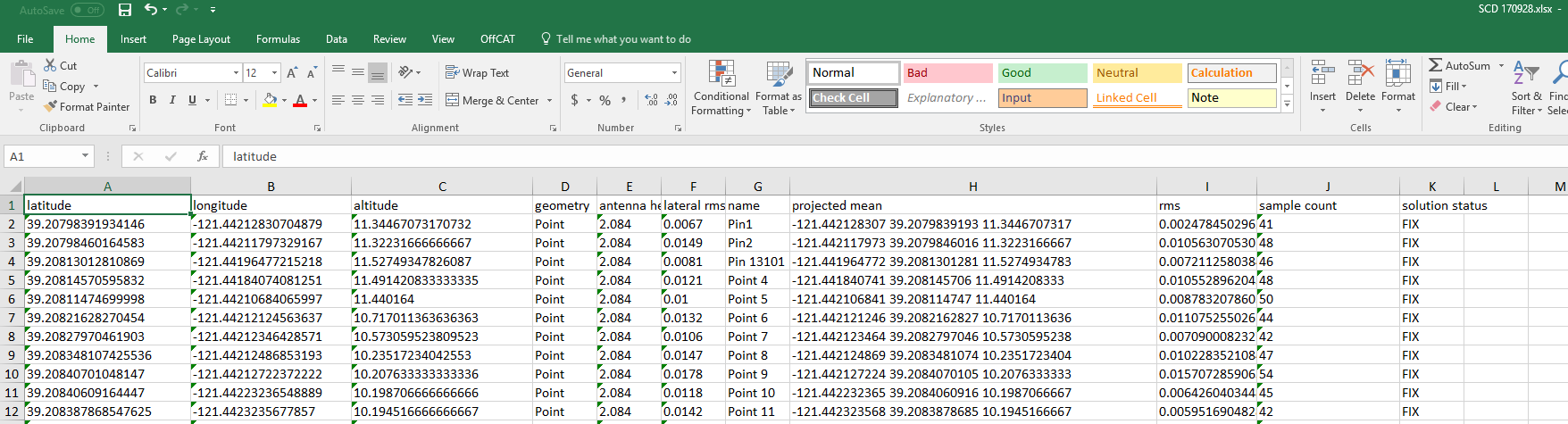
I am using Reachview v2.8.0 and I do get altitude in a GeoJSON file that I convert to an excel or csv file.
It comes through both as a separate column of data entitled “Altitude” and in an XYZ triplet entitled “projected mean”.
Here is what my data looks like converted to an excel file from GeoJSON.
Cheers
John
1 Like
This topic was automatically closed after 100 days. New replies are no longer allowed.