Hi all,
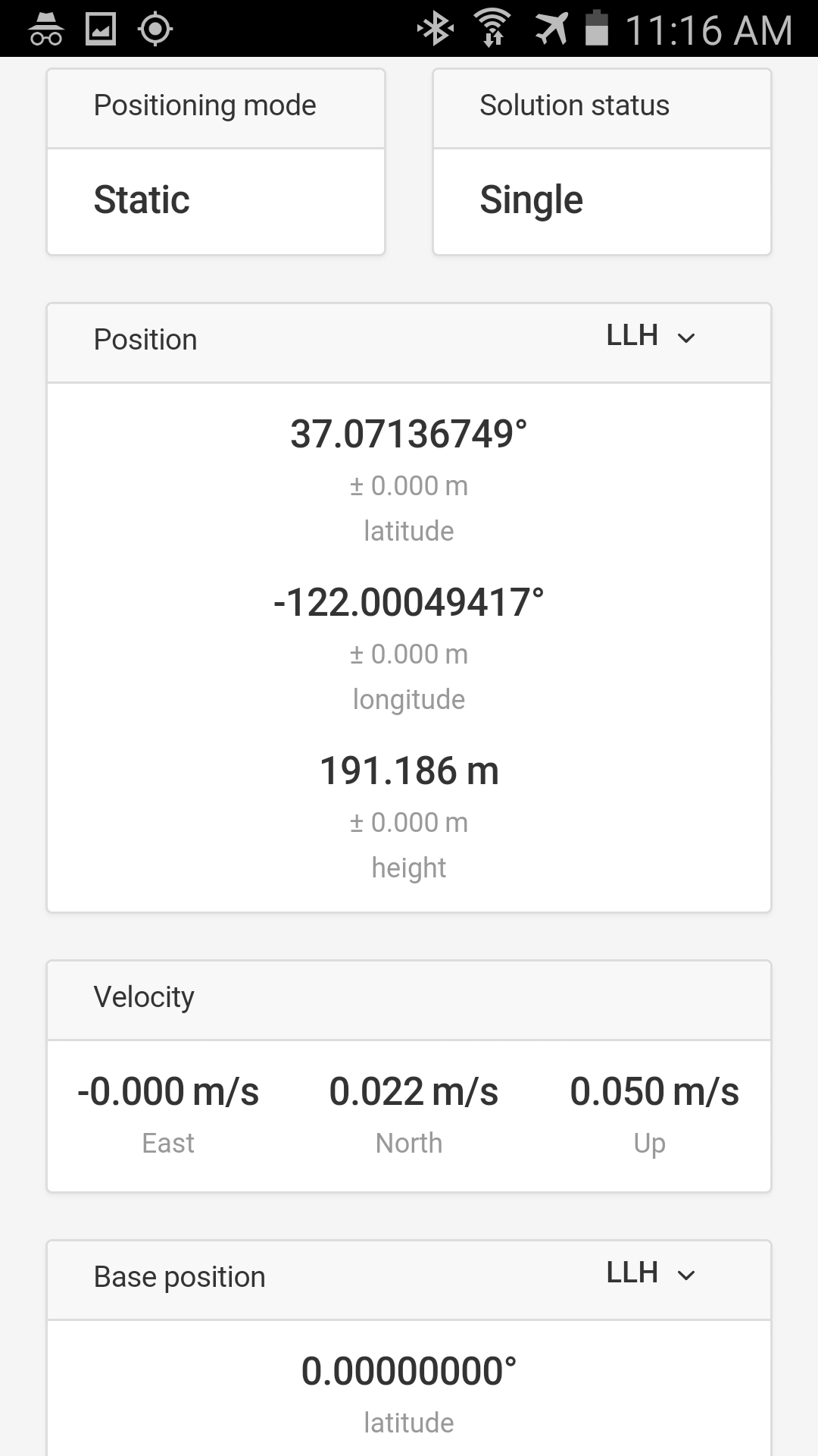
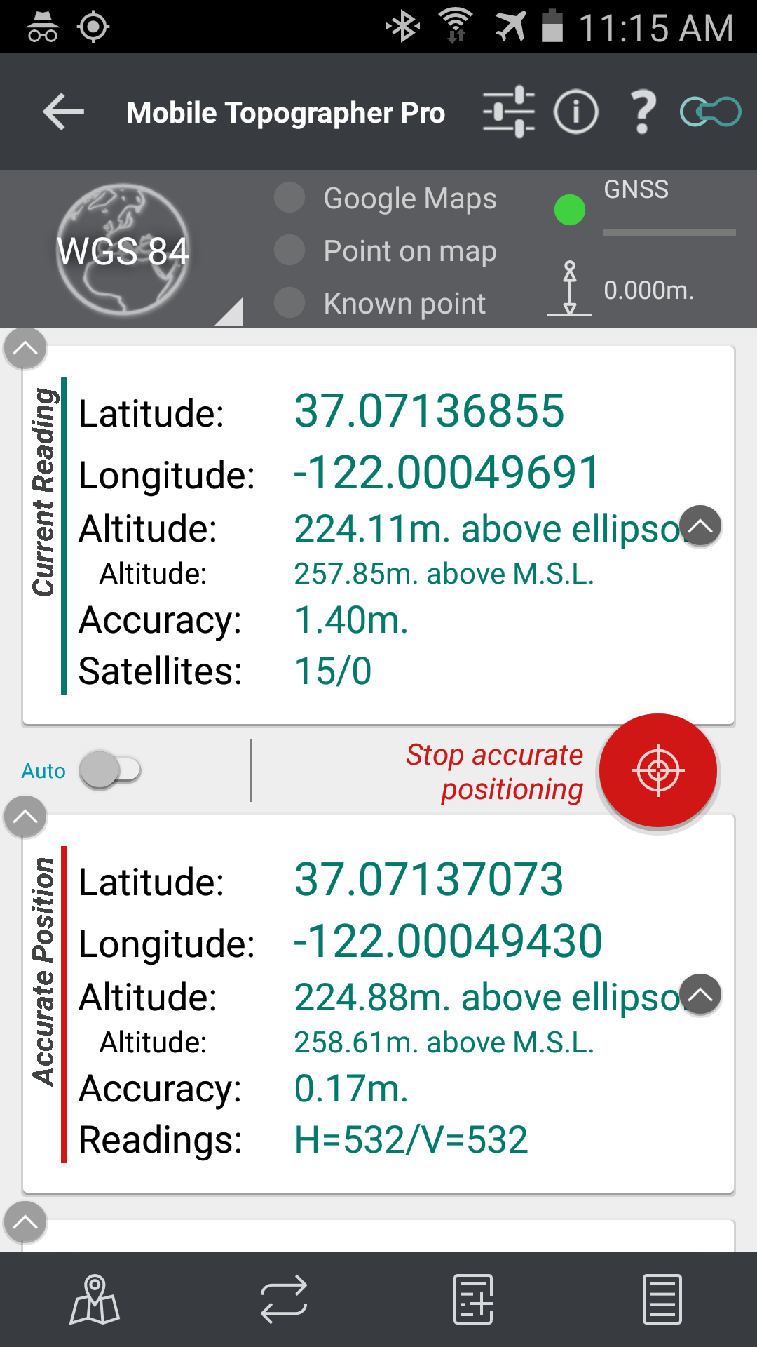
Here are two screenshots of ReachView and Mobile Topographer Pro on the same stable point as a single GPS unit, not receiving corrections from base. Reach is sending output to Mobile Topographer Pro via Bluetooth (NMEA output, Bluetooth GPS Provider app). Can someone explain why the Reach altitude is different than the MTP altitude above ellipsoid? They are off by between 30 and 38m. I was under the impression Reach altitudes should also be heights above ellipsoid. When checking the points in Google Earth, the MTP altitudes are much closer than Reach. By the way, this has been consistent with all of my GCP surveys.
Thanks for your help.