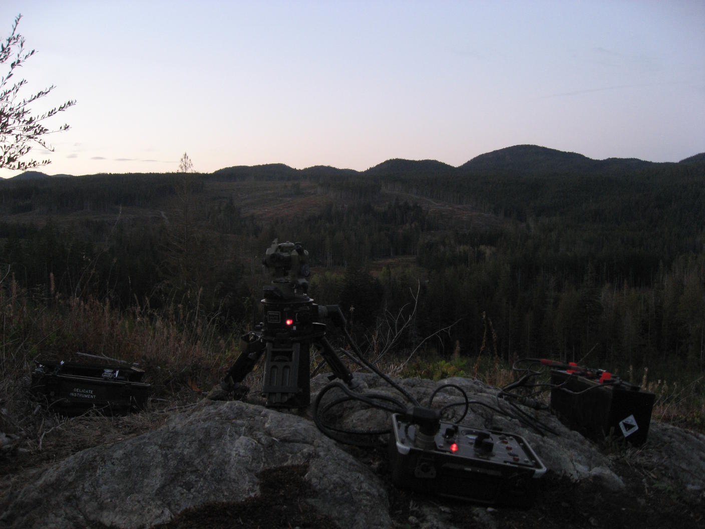
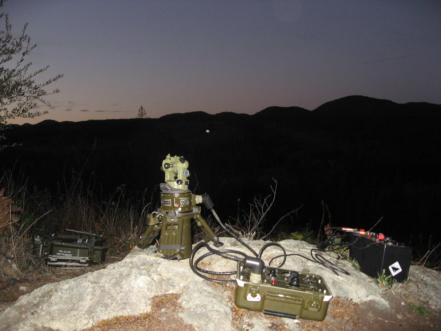
I had a requirement to calibrate a gyrocompass to an accuracy of 4" (arcseconds) or 0.001125°, and here is how it was done:
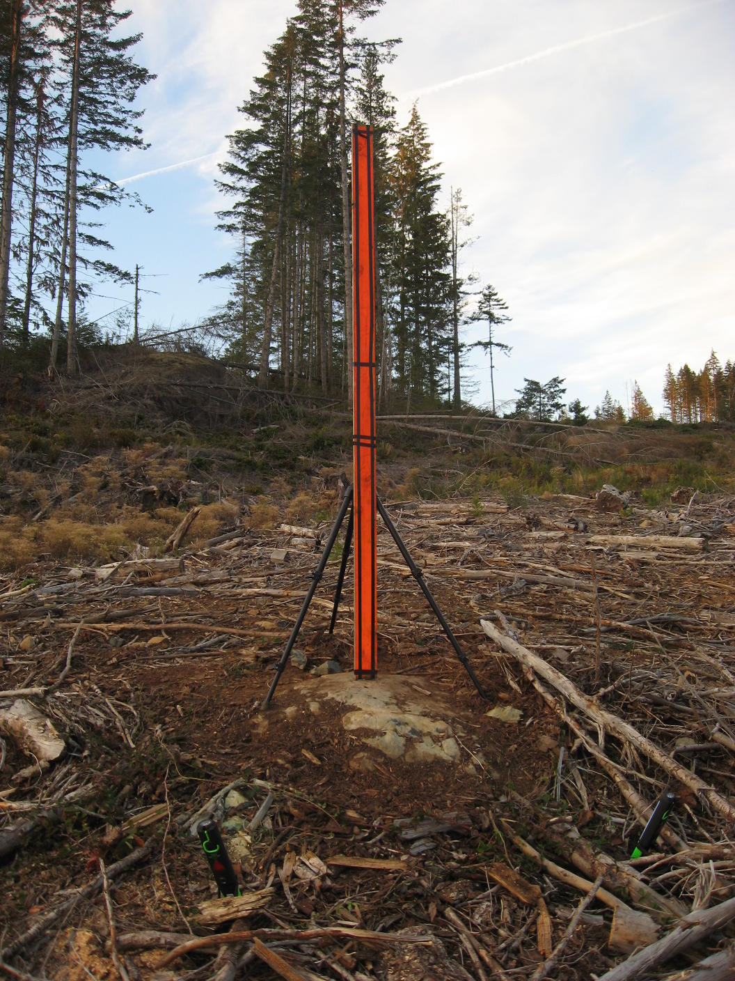
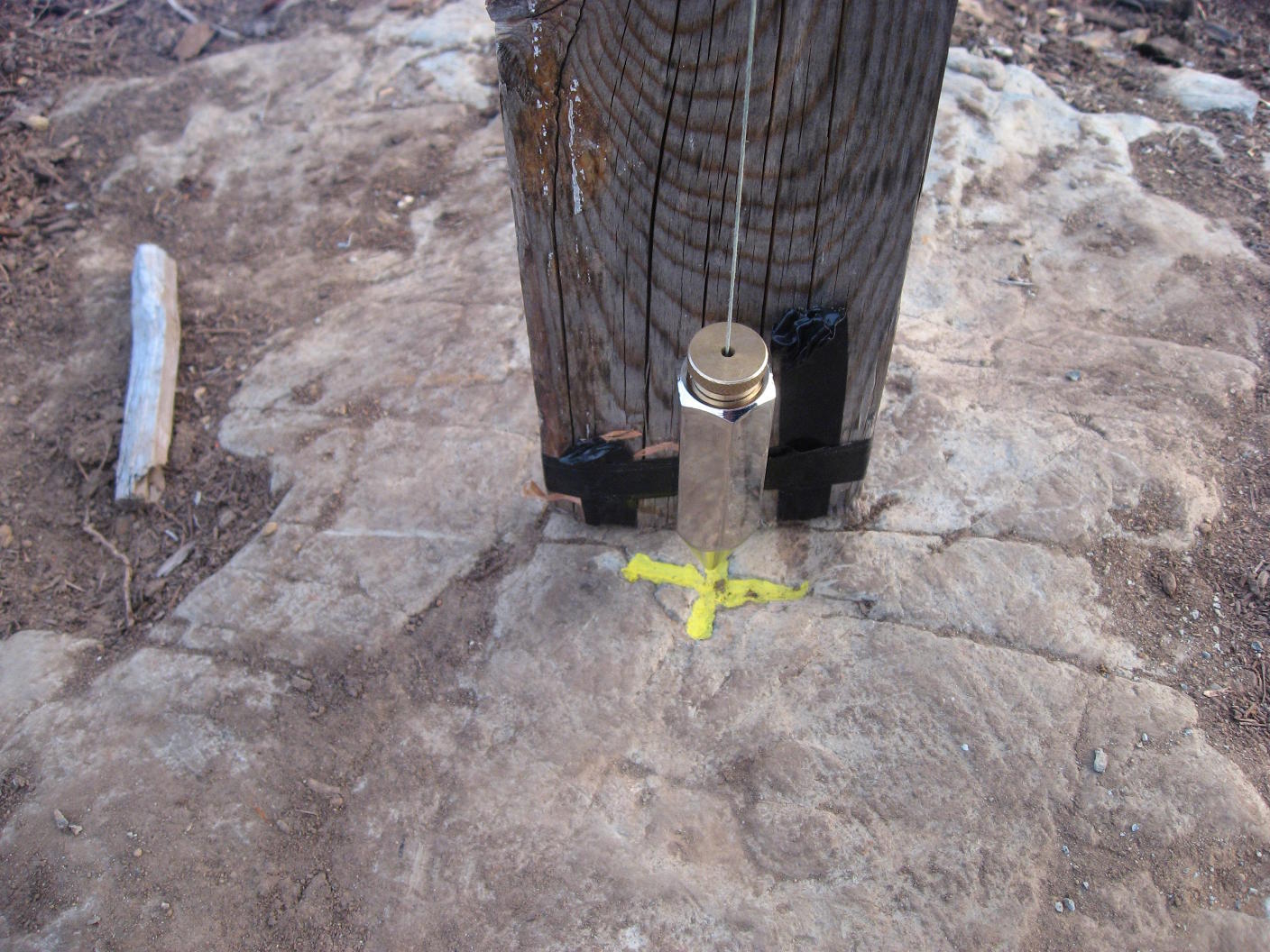
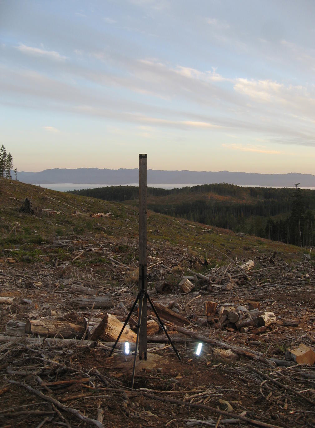
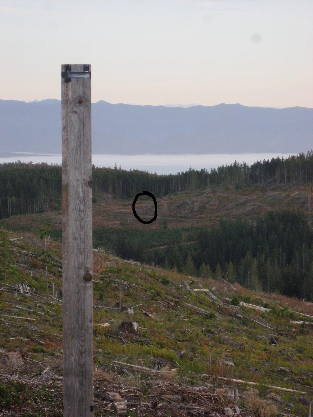
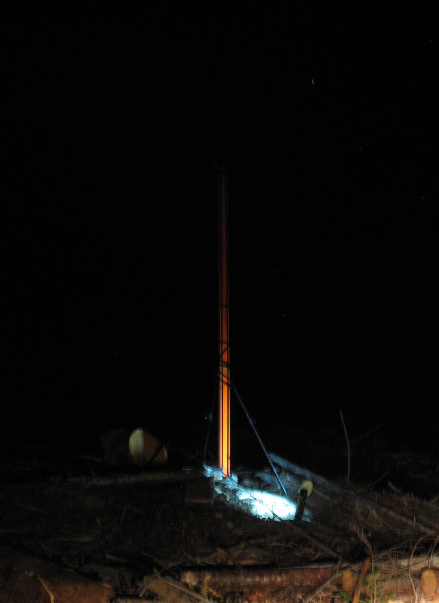
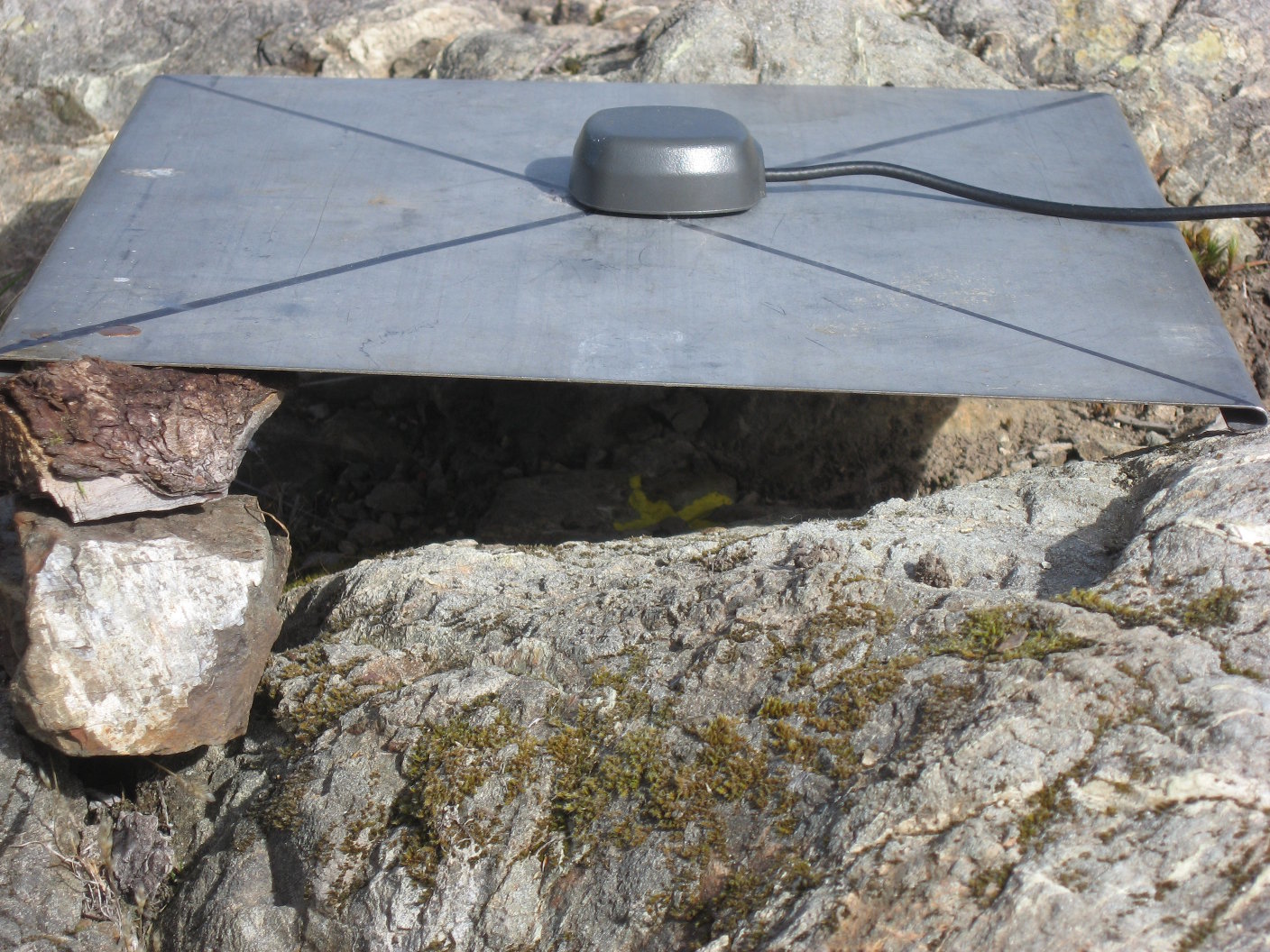
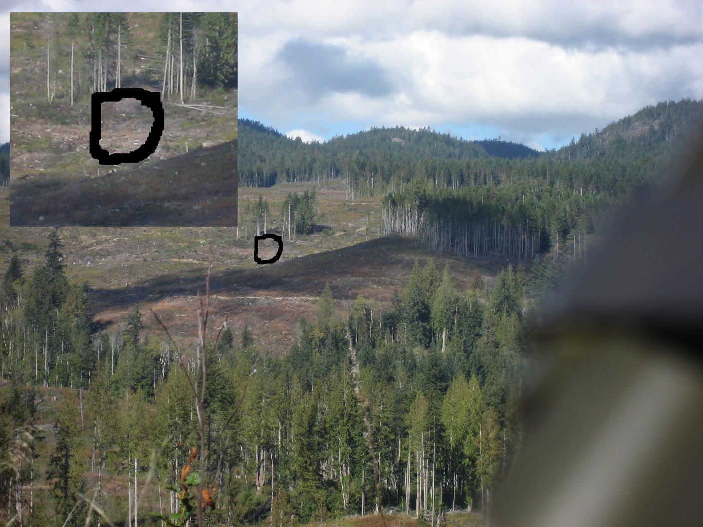
I took Reach out to a rocky outcrop on one side of a valley and marked a spot and logged for a while. Then I moved Reach to another piece of bedrock 1.8km away on the other side of the valley and marked a second spot and logged for a while. A second Reach was used as the base station for both points. My post-processed results were 100% fixes within a 4.5mm box for both spots.
ReachView version was 0.4.9. The post-processing was done with an older RTKLIB 2.4.3b8 (static, combined, continuous). The forward azimuth of the line between the two coordinates was calculated with the GeodSolve tool from geographiclib.
My allowable azimuthal error at that distance is:
tan(0.001125)*1.8km = 35mm
So, that error would have to include:
- the error of the post-processed coordinates,
- GNSS antenna alignment error over each marker,
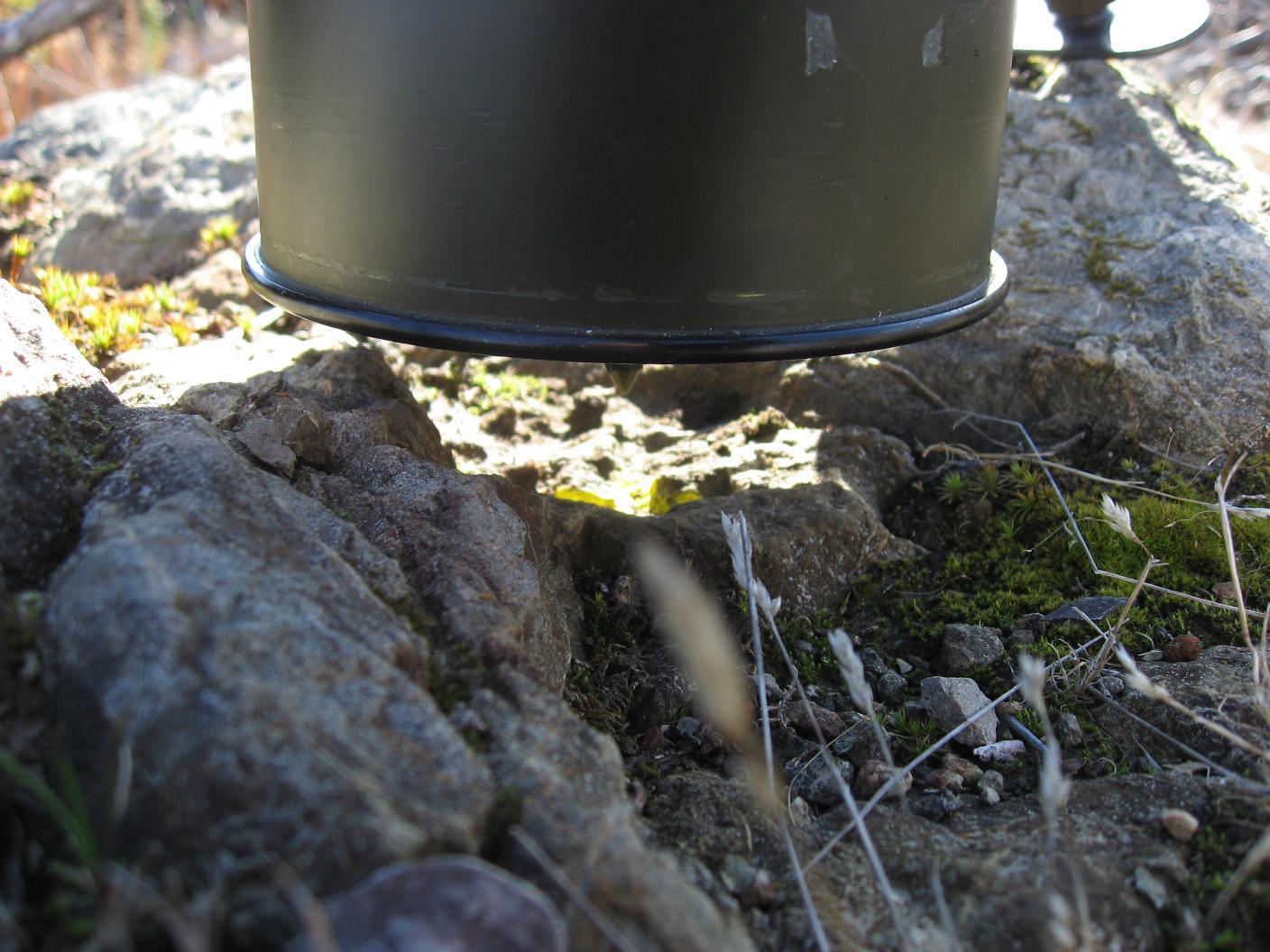
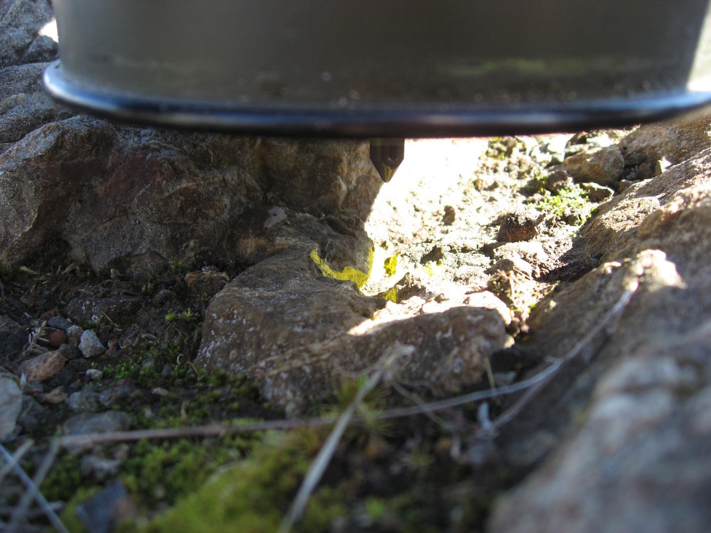
- instrument and target placement error over each marker,
- optical sight alignment error (for instrument and the human factor).
Although I did not make any calculations to account for these errors,
I like to think that I did not exceed this allowable error.
After calibration, I reset the gyrocompass and made 20 readings on the target and they averaged to a number 1.5" (arcseconds) from the calculated azimuth.
Of course I could have worked to a higher degree of precision and I could have been more accountable for errors, but I was very satisfied with the result. So, thank you Reach! for being useful yet again in a unique situation.