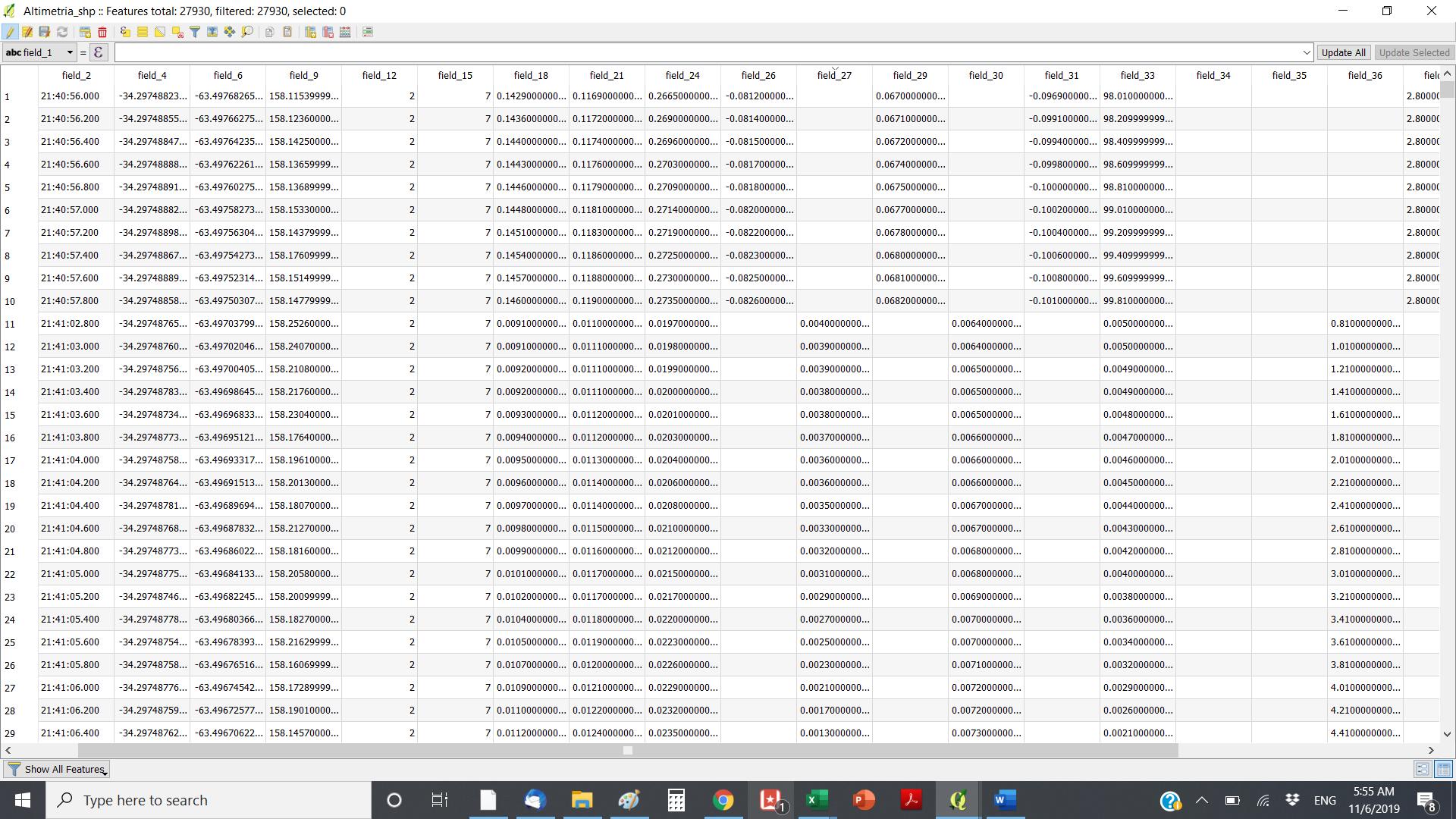
Good morning. We are working with Reach RS+ and when downloading the information in QGIS we can see a lot of information
in the attribute table that we are not sure what it is. We know the elevation is Field 9 but wondering if you guys can let us know
what does it mean the information from Field 9 and over. Wondering if field 12 shows which points were collected FIX or not.
I may had Tracy. I’ve been always downloading the only file that I get from the Rover after collecting my points from the field. I download straight from the rover, convert those into a txt file and upload that in QGIS. That’s exactly how they look, no attribute added to the table.
I’m I doing it wrong? My only goal is to use the elevation to create a DEM. Using it like this looks ok but I would like to be able to identify which are “fix” and which are “float” do I can use the ones that have the better accuracy
yeah what you download should look like what tb_rtk posted. “convert into a text file”…you shouldnt need to do that, you can download your survey as a shapefile or .CSV. the emlid reach documentation online is actually really good so i would suggest going back to that.
on a separate note, your elevations are probably ellipsoid heights so you will want to look at how to convert those to geo heights (aka mean sea level etc.)
That’s the only file I have available to download after doing the survey. I may be doing something wrong in the setup but I don’t have any other file to download other than that one