i have a reach rs+ with a ntrip connection (italpos), service max3-rdn
im using a gps for georeferencing a point cloud.
i would like to rec a static point
it’is possible to process the float single point to improve the accuracy?
thanks
ok…now i upload the data… but i have any question…
i have some rtk service (imax3-max3-vrs30 and other), which is the best?
When i rec the data in rtk mode (i work with only rover and ntrip correction) the base mode on reach rs+, it must be off?
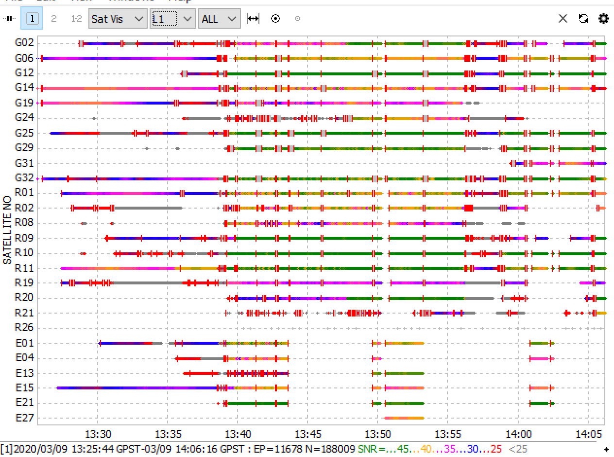
in this file i have rec only 2 point but only for few second i had a fix
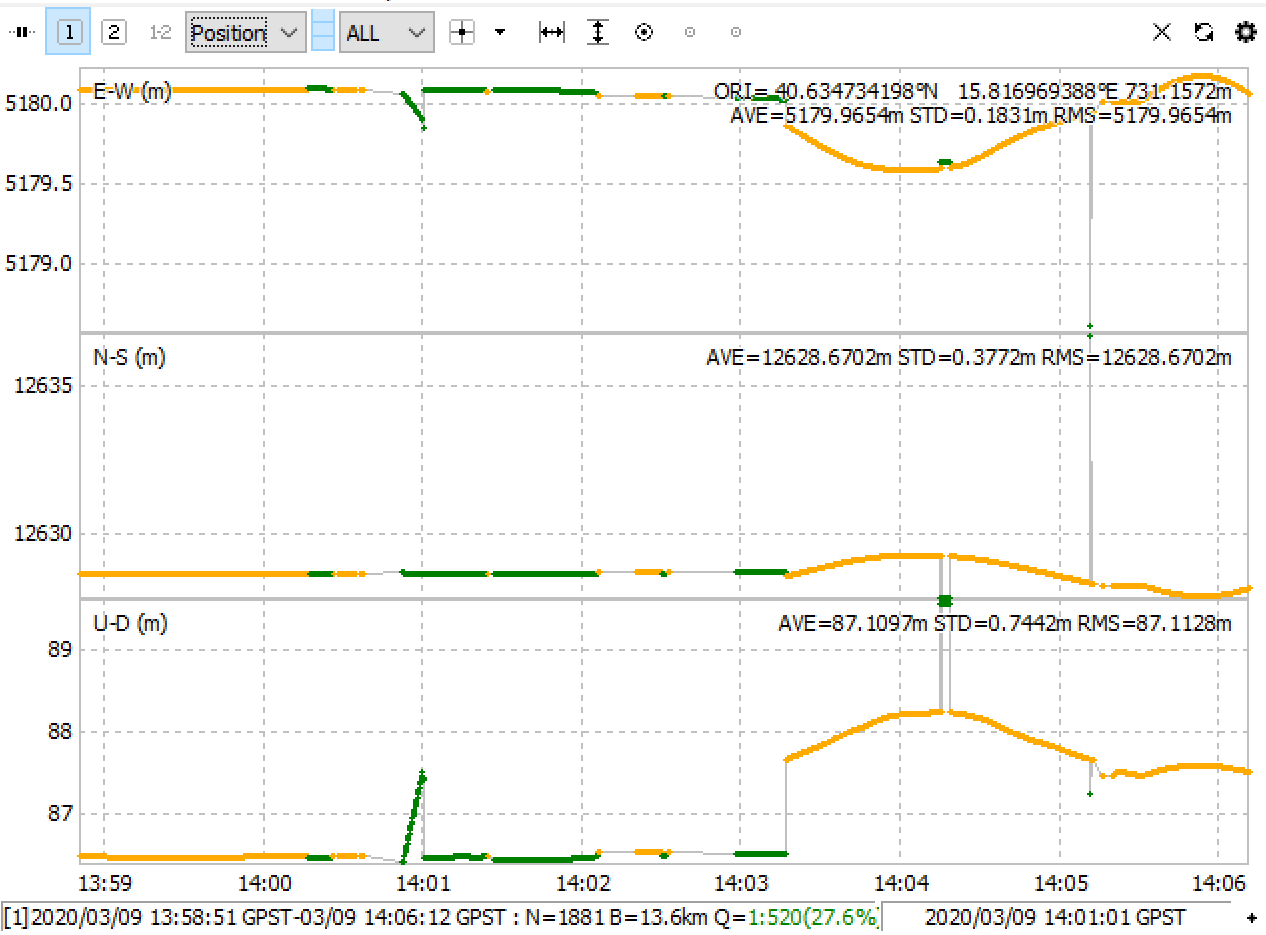
Looking at the resulting coordinates on Google Maps, you are very close to a tall building. With a L1-only solution, combined with a long baseline (long for L1 only), you are asking for trouble.
Move out into the plantation north of the point, or in the clear area west of the point (but not too close to the trees). Basically have a clear skyview all around in a minimum 30 degree angle upwards, preferably 20 degrees or lower.