I needed to do a few checks on a old (10-15 years), used total station I have bought over ebay, for when I have to place GCP’s in areas not suitable for GNSS readings. I mostly do volumetric measurements and orthomosaics
One of the checks of the total station was to validate the so-called instrument constant. There’s a specific way to execute this according to the manual, and the tolerance at 100 meters is ±3.2 mm. It performed the test with +0.2 mm deviation! I was pretty surprised as well!
Anyway, never having played with a total station before, I really wanted to test out the longer distances, so I decided to compare the distance the baseline reported by my Reach RS+ units.
Setup:
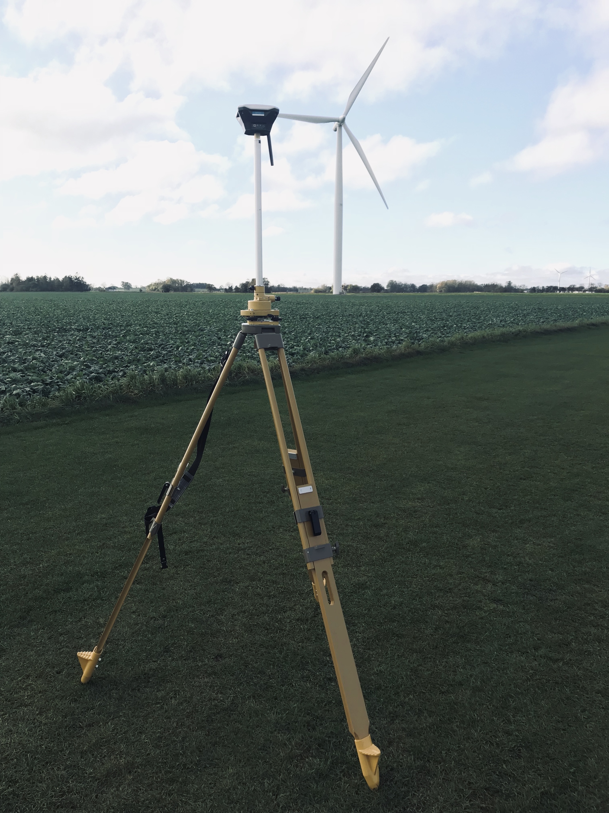
GNSS:
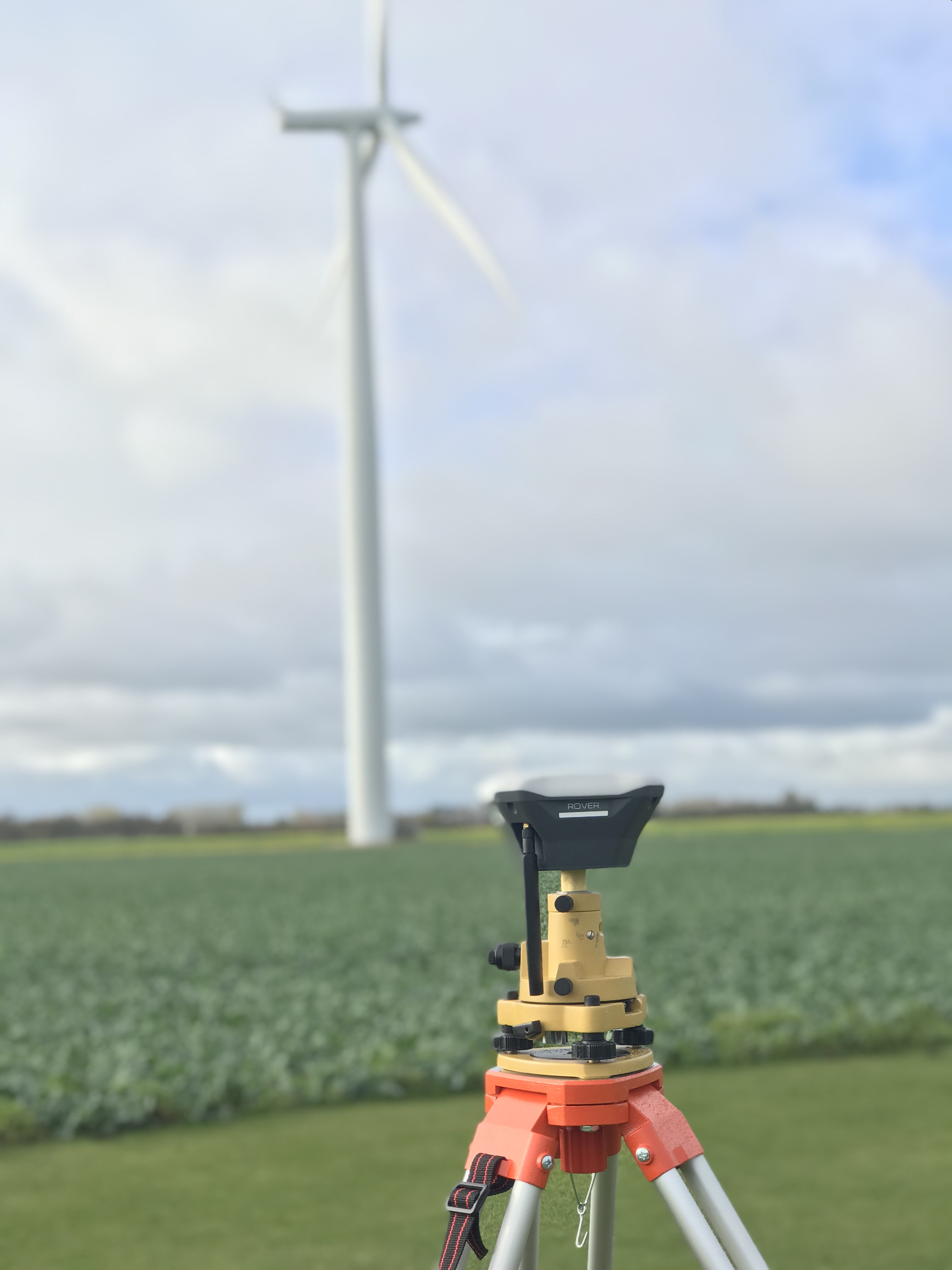
2 x Reach RS+ mounted on tribrachs, base elevated by 0.5 meter by extension rod.
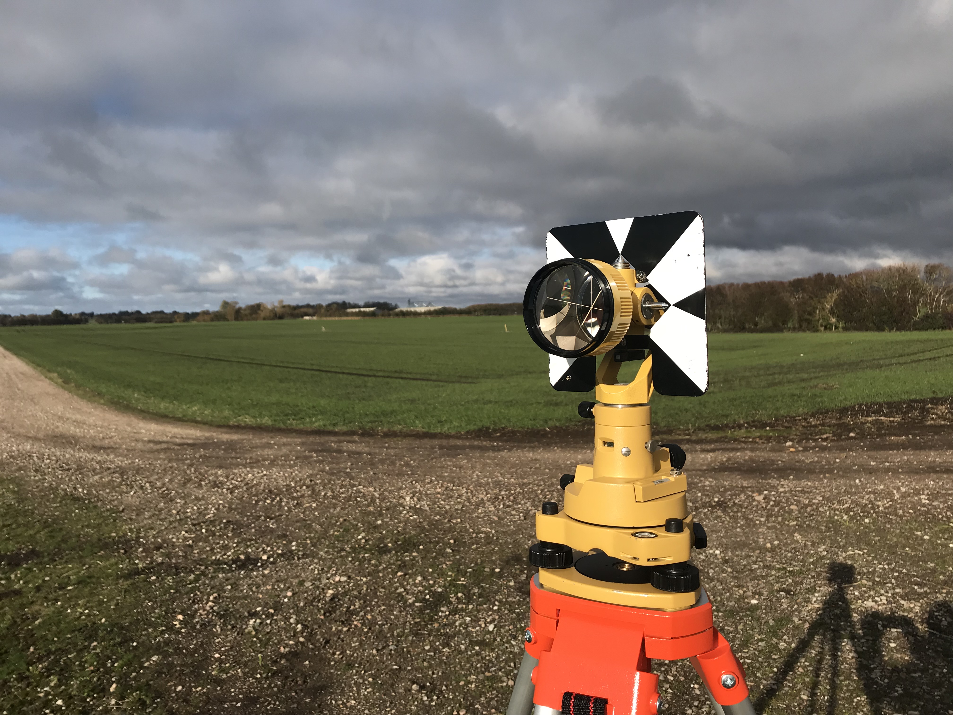
Total Station setup:
Nikon DTM-520 total station
Topcon half traverse prism
Mounted in the same tribrach mounts, so the centers of measurements are precisely the same.
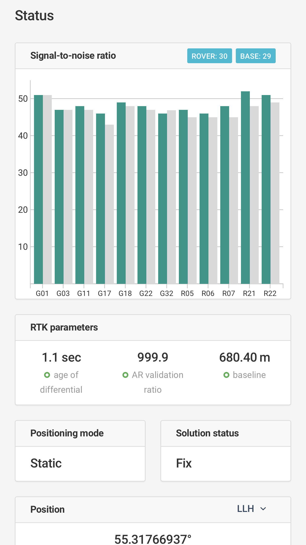
So, results!
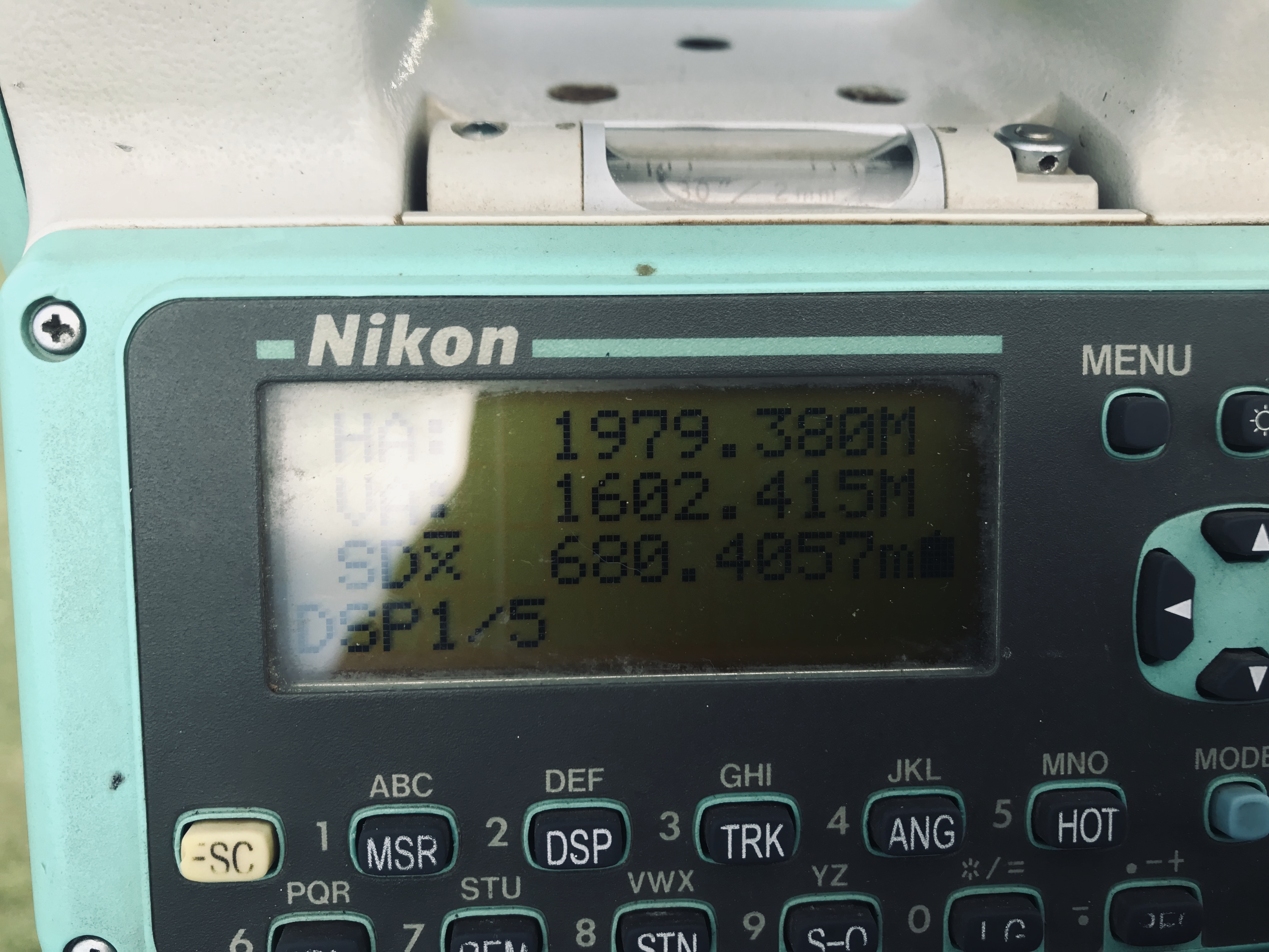
Baseline reported by Reachview: 680.40 meters
I can see in your total station reading. the distance it shows is the Slope distance. If you reduce that distance to horizontal it will be the same distance exactly… By the way, 9 years experienced surveyor here
SD = Slope distance. if your are using Nikon Total Station… Just press Dsp Key… it will lead you directly to Horizontal distance. I have my Nikon Total Station NPR 332+. I know it is just the same configuration.
I was just looking into slope distance vs horizontal distance: To my knowledge the distance reported by RS+ is also slope distance (+ antenna height, if inputted), thus the 2 distances should be identical. @dmitriy.ershov, maybe you can confirm this?
The hz. Distance in the ground is not the same distance you calculate on the grid, you must calculate the combined scale factor (ground to grid) to compare.
Its been posted before, but explaines it somewhat well even though Reach doesnt picks its coordinates from the map but use the actual ellipsoid height on a sphere shaped globe. And as mentioned, the slope from one point to the other.