Hello Surveyors! I am seeking assistance in converting known coordinates for a bench mark into the proper values for entering into the “manual” mode on the reach base. The Task is to set GCPs for UAV mapping of a construction site. The final mapping products will match the coordinate values and elevations on the construction plans.
I have bench mark values from the plans that are in California State Plane, Zone 2, US feet, NAD83, NGVD29 (vertical).
I have used vDATUM in the past to convert coordinates, so am familiar with that tool by NOAA.
I understand Reach RS only uses WGS84 and ellipsoid height in meters. Is that correct?
There are a lot of choices of which NAD83 to use. NAD83 (1986) seems to be in conjuntion with NAVD29. Is that the one to use?
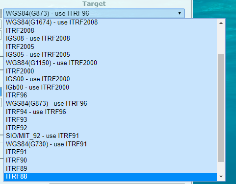
Which WGS84 to use. There are many choices. Which does Reach RS use?
So I am converting a MSL elevation back to ellipsoid, then when I am done collecting points I convert them all back to the know coordinate system and MSL.
Any help in making sure I am getting the right manual input coordinates and elevation would be much appreciated. Am I the only one with this question? Thanks in advance!
If you convert your state plane coords to Lat/Lon they will be in Nad83. Within a short ditance of the mark you can put that lat/lon and ht into the base station as the manual coordinates and the reach will output NAD83 (for a short distance) ideall you would convert the NAD83 lat/lon/elev into WGS84 lat/lon/elev and then put that into your reach. Then for any range that the reach will work you will get WGS84 lat/lon/elev out, which you can then convert back to NAD83 lat lon elve and then to state plane.
Thank you Simon! What is the short distance that would work in NAD83 lat.lon/elev? my longest baseline is normally no more than 800 meters. I might have one that that is 1200.
The MSL elevation from the known coordinates would need to be converted into meters, but in MSL El or do I need to convert to ellipsoid elev. for reach?
Test this method between two local benchmarks and see!
Within limits all you are doing when you set up a Base station is telling the unit how to interpret the data from the satellites and calculate the offsets between the pseudoranges measured and the psuedoranges calculated from your Base position. If you tell the base you are at 0 deg lat and 0 deg long and 0 m high when in fact you are at +54 deg lat +92deg lon and 1000m high the base will provide corrections based on this info.
Your poor rover will take these corrections and get very confused trying to use the corrections.
ideally you have WGS84 (ITRF2008) coords for your base location and use these then you know your rover is positioned in WGS84 (ITRF2008) coordinates.
Here in Australia We have GDA94 which was the same as WGS84 in 1994 but Australia has moved 10cm a year to the NE each year and now the difference is 2.5m. Fortunately this distance is small enough that if I put in the GDA94 coords into my base station and the AHD (Australian height datum) elevation in there too my rover positions are pumped out in GDA94 coords (to within mm) its a bit of a cheat, but it works.
I think NAD83 and WGS84 are aligned to within a few metres so this ‘cheat’ should work for you to!
From geographicals to state plane well… that’s a local matter.
Simon, Thanks again for all the help in understanding.
I have accepted that it is probably best to use WGS84 coords in meters with Reach, until they add some other options. If I have a know MSL elevation and enter that in as the manual base elevation will all rover data reflect MSL or not. Do I need to always use ellipsoid elevations?
I have used some Trimble GPS units that let you set the projection and vdatum so that all results where in the system that you wanted. It did avoid some potentially tricky conversions.
Reach will use whatever elevation you insert there. Unless you are working with a very high resolution geoid model I.e. less than 20 km resolution then if you enter the geiod MSL Hrit in as your reference elevation the for all intents an purposes your elevation will be reference to the datum of the elevation you have used.