This post is a follow up from from this post - http://www.emlid.com/reachview-update-bluetooth/
Since ReachView version v0.2.2, its possible to connect phone/tablets via bluetooth.
I`m new to all this so i like to share experience with application that works, could work and so on.
Tested on my phone, a Samsung s5 with android version 5.0
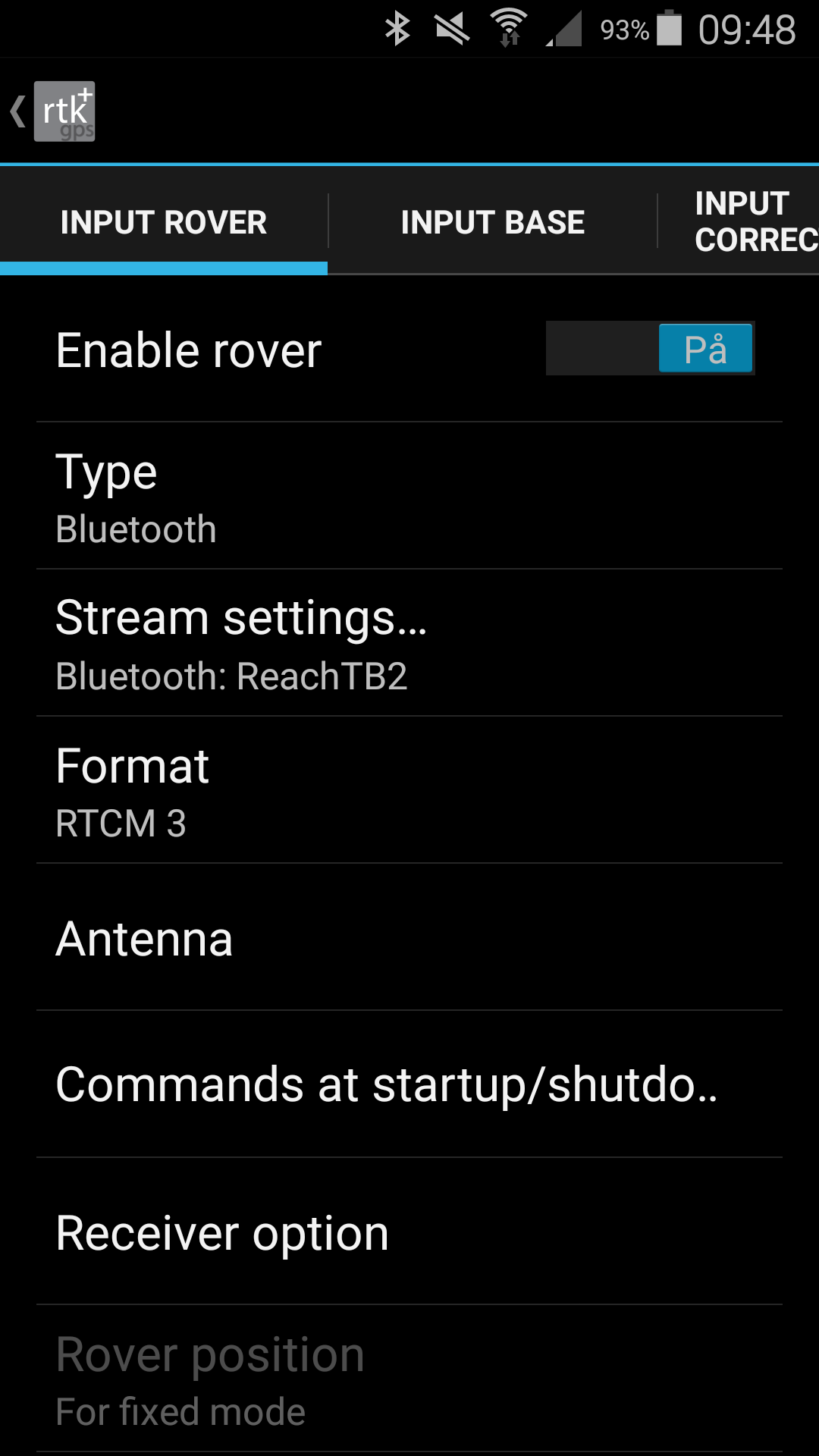
Lefebure NTRIP also supports mock location over Bluetooth, but we have not tested it yet. RTKGPS+ will not work with solution input, you can stream raw data to it and use it to calculate position, but I would not recommend that. The app has not been updated for a while.
Hi everyone.
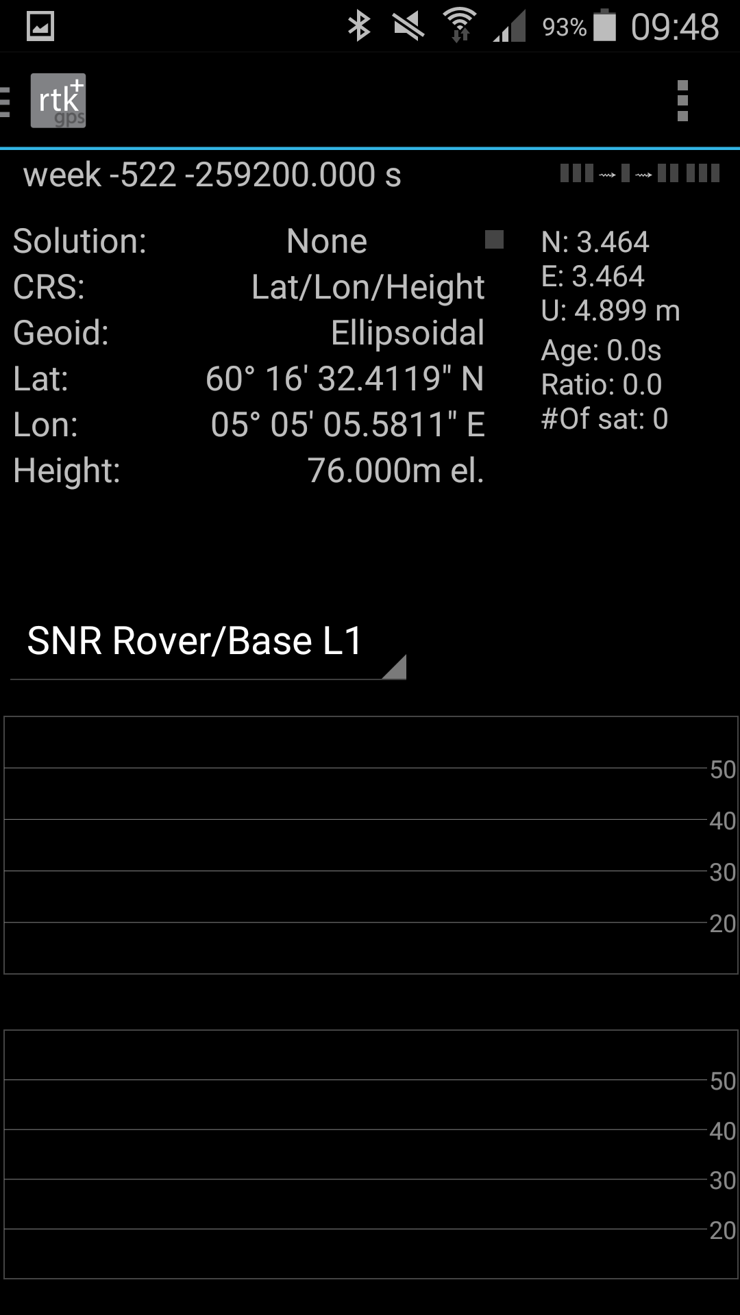
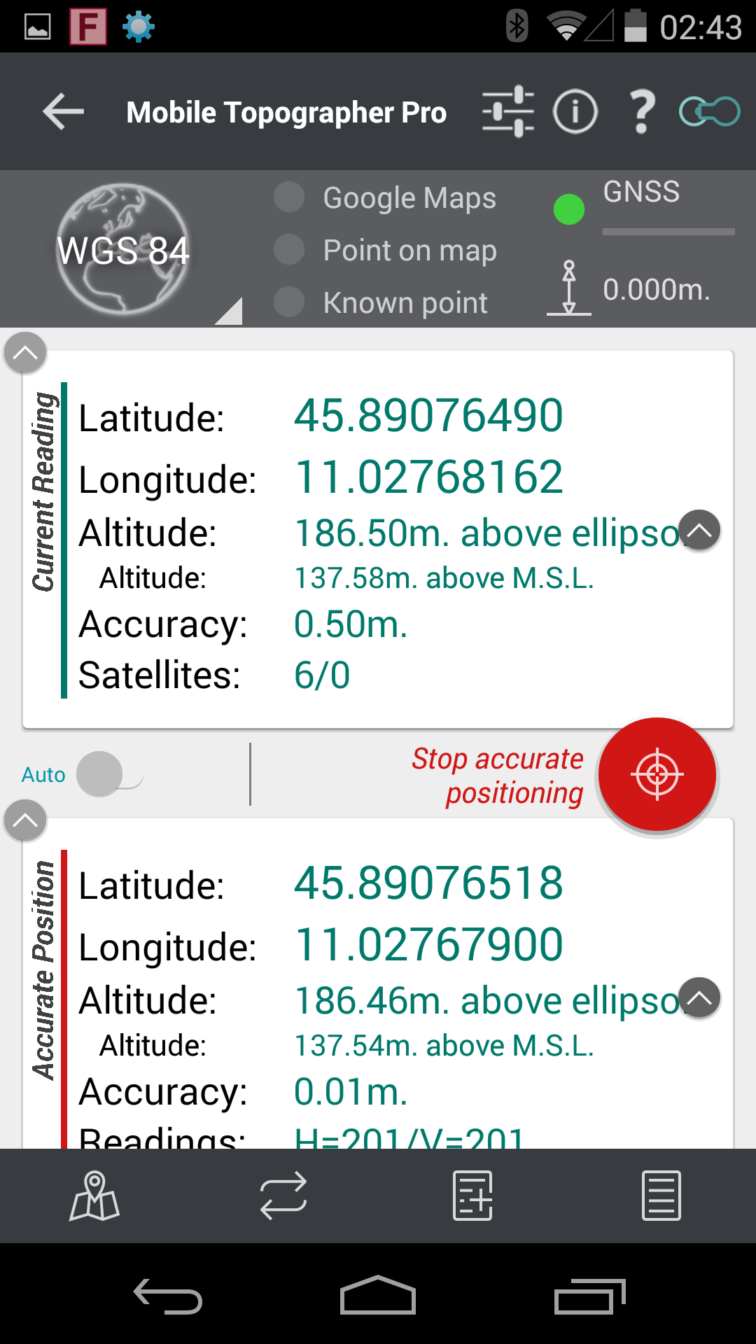
I’m using Mobile Topographer Pro, but when I start surveying I see positions that differ a lot from what appears in ReachViewApp. Why does this occur?
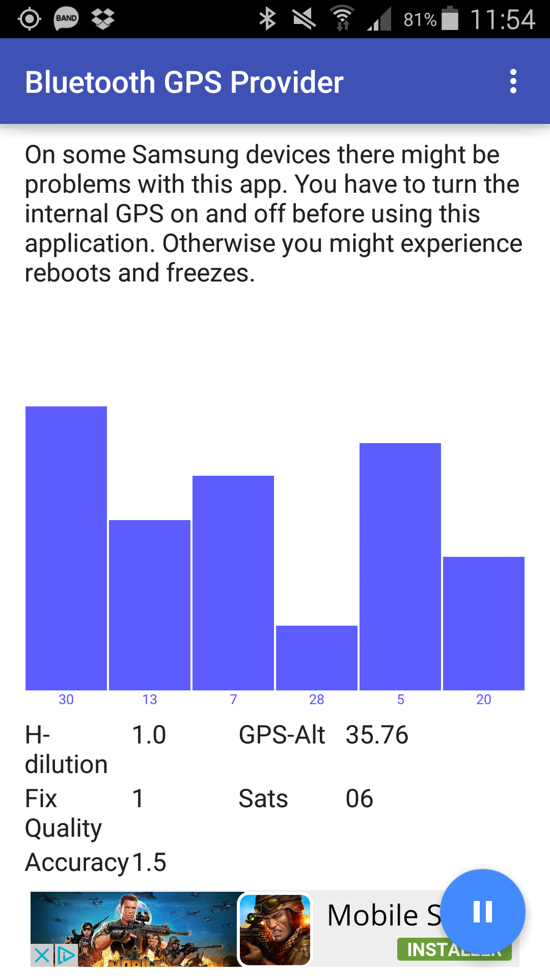
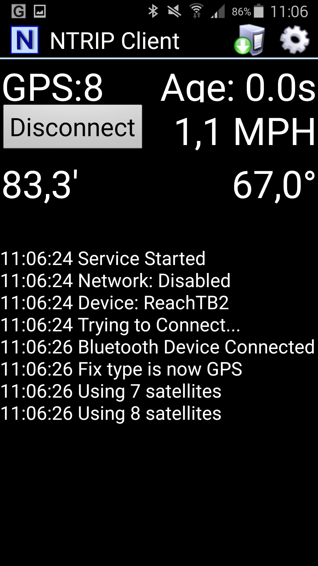
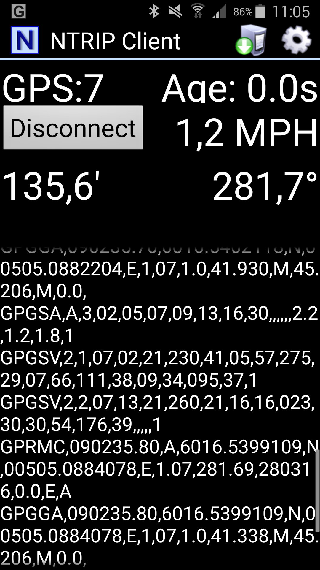
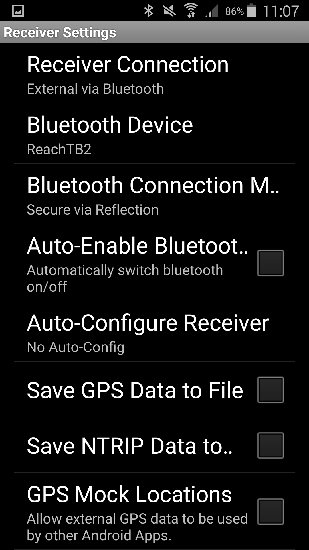
You mean Lefebure NTRIP Client? Yes, I configured it as suggested in Reach guide. I also tried Bluetooth GPS Provider.
Both gave me results that differed from ReachViewApp.
Hi Igor,
thanks for your reply.
The screenshots I posted were taken with ReachView version v0.4.4.
I updated to v0.4.5, but nothing changed.
What astonishes me the most is the big difference in altitude.
When I reach a fix solution, there’s no difference in lat and lon between ReachViewApp and Mobile Topographer, but altitude in Mobile Topographer is still wrong.
Any other possible explication?
The lat/lon mixup should have been fixed in 0.4.4, please try clearing the cache of your browser. At least it would be good to see that there is no lat/lon issue.
Height is most likely different because NMEA reports height above geoid.