Hi,
I’m having trouble to understand and need some help.
I flew my phantom 3times using pix4d capture and GS pro.
setup on the known bench mark for base.
rover = UAV. with tally and Reach m+
once i setup on bench mark i started logging.
rover. i wanted to check bench mark coordinate so i created a point SSM check and stored a point on the bench mark
started logging with rover.
questions: I have exported my stored point and it’s only showing me lat,long,z which does not look like the bench mark coordinate. (Base) how do i change it to X,Y,Z format to review? and what did i do wrong here? (observed a single point)
-
when i setup reach, i can’t select the coordinate system? when i create a job in survey there isn’t any setup i can change my coordinate system…
-
if i want GCP’s then i can walk around with a rover and store a point. method can be float, fixed or single it does not effect my survey accuracy does it?
-
i have processed from what i have. created nav,obs,pos,event pos files.
RTKPOST it has time start and time end. if i don’t put the time frame here, how does it effect my flight data???
-
once i start logging and i may not fly straight away and move around. that still record in UBX file. is that all going to effect the data when i geotag which is next process??
-
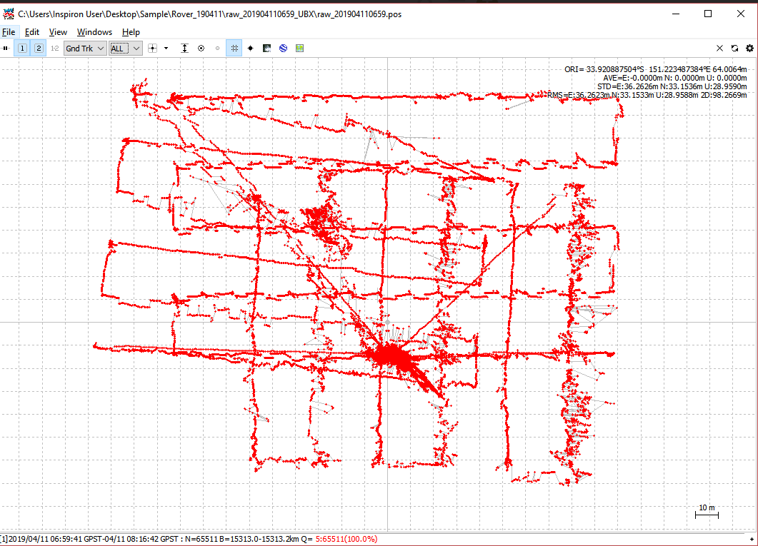
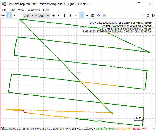
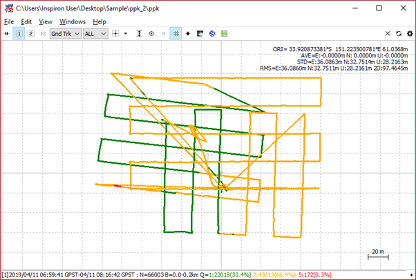
I have processed and looking at my plot of flights.
because logging file is combined for 3flights it looks so weird, how do i separate each flight logging? do i need to stop logging for each flight and continue?(base and rover) like this to separate? -
all my flights are Q5 single observation… is it because when i setup reach rover i set to single???
-
It took me so long to find a known coordinate to setup my base. can i do it from unknown arbitrary coordinate? and still process?
please any comment and help would be appreciated!
this is what it looks like with 3flights logged processed data…