Hi all,
I have started to run out of ides to sort this problem, so thought I would let the community have a crack.
Dual reach modules undertaking survey on both land and sea. Base station in exact same location for both survey (back to back days) over unknown point - the roof of a building with clear skyview.
Trying to determine position of base station using NZ equivalent of a CORS data set, which I think have a freq of 30s.
I use the .17o files form the station with a wildcard identify in the base field of RTKPOST (“*.17o”)
Once a solid fix on base is made I can PPK the rover data.
Base raw data is quite long, so had to crop based on time to prevent memory allocation error.
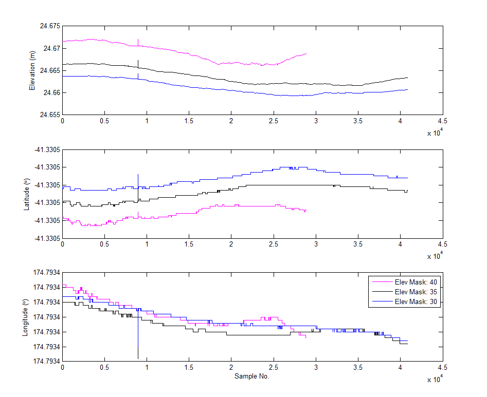
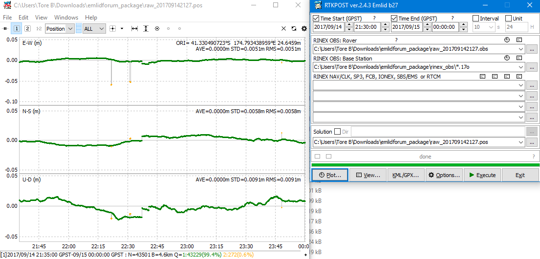
I ran RTKPOST ver.2.4.3 Emlid b27 with recommended settings, and then a range of different Elevation Mask Values, Forward and Combined solution types etc. etc.
Ultimately, I ended up with a very big range in base elevation (several m!!) from the different settings/results.
I’m also getting float values in there, which considering the base is not moving at all in anyway, I have a really good, close reference station, and the time series is a good length, I would have thought I could get all fixes and accuracy of at least <10 mm in the vertical.
Anyway, would be stoked if someone could have a crack; or at least provide some input.
Have tried to upload a zip file but no good, so available from here:
https://www.dropbox.com/s/29fzoo1rpnjhggn/emlidforum_package.zip?dl=0
Cheers
Ed


