GNSS/GEOID heights are really a messy subject. Without going into much detail my guess would be the height I came up with in RTKLIB is biased about a decimeter (4 inches) too high. This is because atmospheric errors aren’t canceling that well. Using the Iono/Tropo options Estimate TEC and Estimate ZTD RTKLIB can adjust for this, but then fixing the integers is more difficult.
Unless you really want to dig into the weeds it’s probably best to just send your data to a professional (free) service like CSRS PPP, OPUS, or AUSPOS.
Thanks again. I am confident the point is within 2-3cm horizontally and am not concerned with the vertical as it is coming from ground benchmarks being leveled in. Fortunately this scenario is the exception instead of the rule. State Plane coordinates were off bad enough that I couldn’t even process with GCP’s. Everything was about 1000ft NNE and that doesn’t jive with the scale factor so I don’t know what was done prior to us receiving it that caused the shift. Instead of using a custom conversion I decided it would just be easier to shoot it in reality and do all the alignment in CAD after processing.
Thanks! Now the Elipsoid elevation is correct again.
Getting this coordinate: x=958977.559 m y=3099883.165 m y=190.750 m, stdev 0.003 0.003 0.005
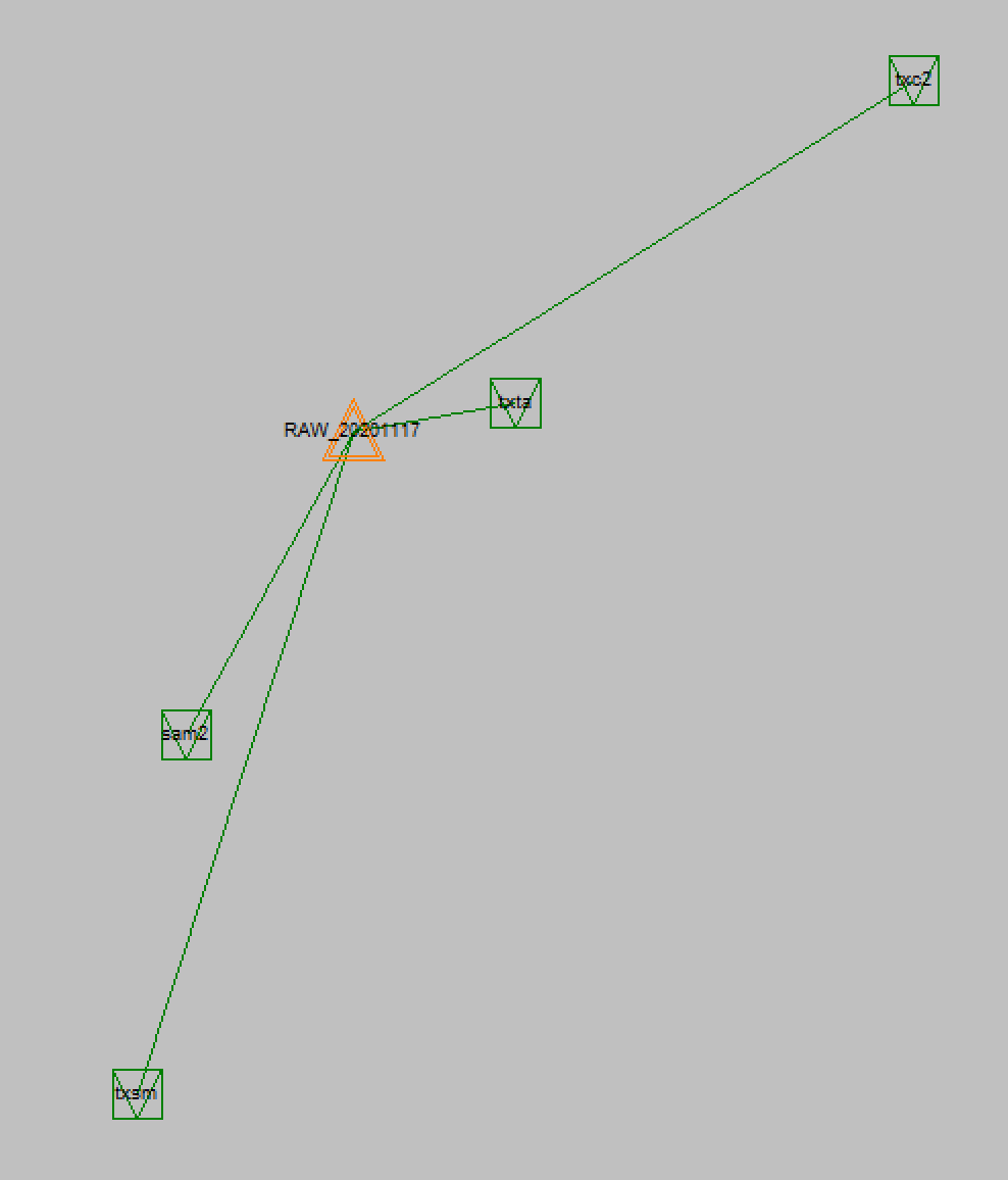
Using these stations combined:
lcsm
sam2
txc2
txsm
txta
What Geoid is used? NAVD88 ? GEOID18, what Grid number? What is it called over there?
Overall, it would really interesting, given our recent discussions, if you could come back with the height from local monuments, so we can compare theory vs real-life.
Yep same problems we face tracing others. We literally have to resurvey others to determine what they did. Calling them and discussing leads to another dimension.
I double checked my setup in field genius and I used geoid 12b grid 6. When adjusting to the level elevations there was an average of about 3.5-4 feet. I thought feel genius was reporting orthometric heights, but I think that might only be the case when I localize and not just shooting off the geoid. I will verify with them that there’s not something in the software that is creating orthometric heights from the geoid.
Don’t get me started on this. Our local Modified Transverse Mercator system is metric, because yay modernity. The central meridian for each zone has a false easting of 304800, because why pick a normal number when you can just translate the old system’s value of 1 000 000 feet into meters.