Hi,
I’m using UAV mapping area and get raw data from Base(Reach RS) and Rover(Reach RTK on UAV) for post processing.
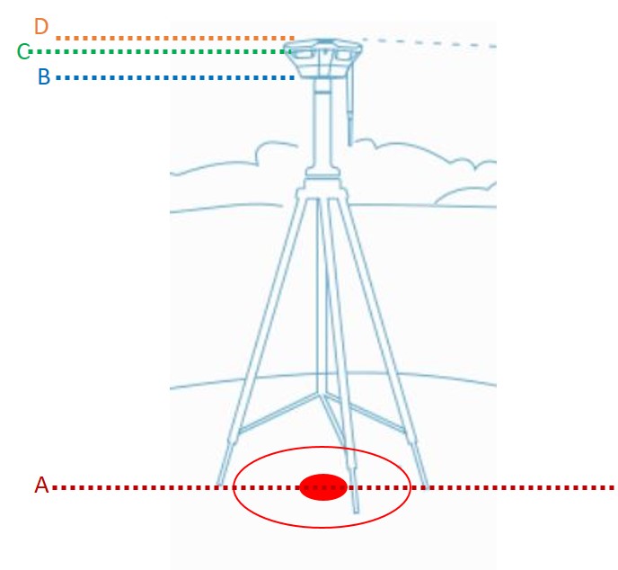
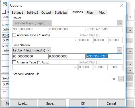
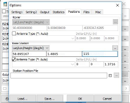
I know Base coordinate (LAT/LON/Height) which I put Base on that area. When I’m start using RTKPOST, I’m not going to use Base Station data from RINEX Header Position, I will use the coordinate that I know. I’m curious what Height should I fill in that data? A/ B/ C/ D?