My base died 25% into an M+ drone mission. Is there any way to post-process in RTKLIB without a complete base file? I just ran it and went from Q1 to Q5 immediately. I do have a reference position in the report. I also have my Topcon base coordinate.
I also have the RINEX files from a nearby TXDOT VRS, but do not recognize their file types even though they do load into RTKLIB. I have never tried to use their data before.
Can you provide rover file?
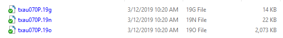
Here’s what I have. Includes the original UBX, post-rtkconv RTKPOST Outpout and the TXDOT (TXAU) CORS RINEX. Thank you!
GAP PPK 031119.zip (6.4 MB)
The timeframe is not the same. The TXDOT is 1,5 hour to early
Yes, time was off. Pulling different files.
Ok, I download the version by their naming, but wasn’t sure what time they used or how daylight savings affected it. I will get 2h later.
Sorry yes, this one is from 1600-1700. You need the next hour
I just pulled from CORS site and ran through RTKPost and got a decent solution. Can be improved but little time fiddle.
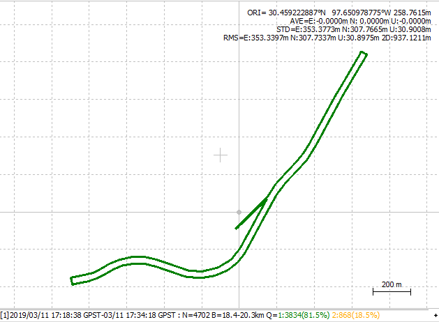
Just run rover against CORS base. Baseline was 18-21 km. You will have to adjust base station coordinate accordingly though as I did not spend too much time here. Here is .coord file txau_08.coord.zip (1.5 KB)
All files from CORS site for the day: txau070.zip (4.5 MB)
You have topcon base coordinate, was that logging? Can use that if you think baseline is too much.
2 Likes
I’ll let TB_RTK give it the proper polish 
Haha, i can add som paintwork 
1 Like
I appreciate it and it is good to know that they might be a possible Plan B. The Topcon base coord is just the averaged from 1hr so may not be much good. No logging.
You can use CORS on rover (M) if baseline is sufficient. All your base is doing is giving observations on shorter baseline, its not giving you more constellations over a CORS site as you generally log GPS only at 14hz on rover and 1hz for base.
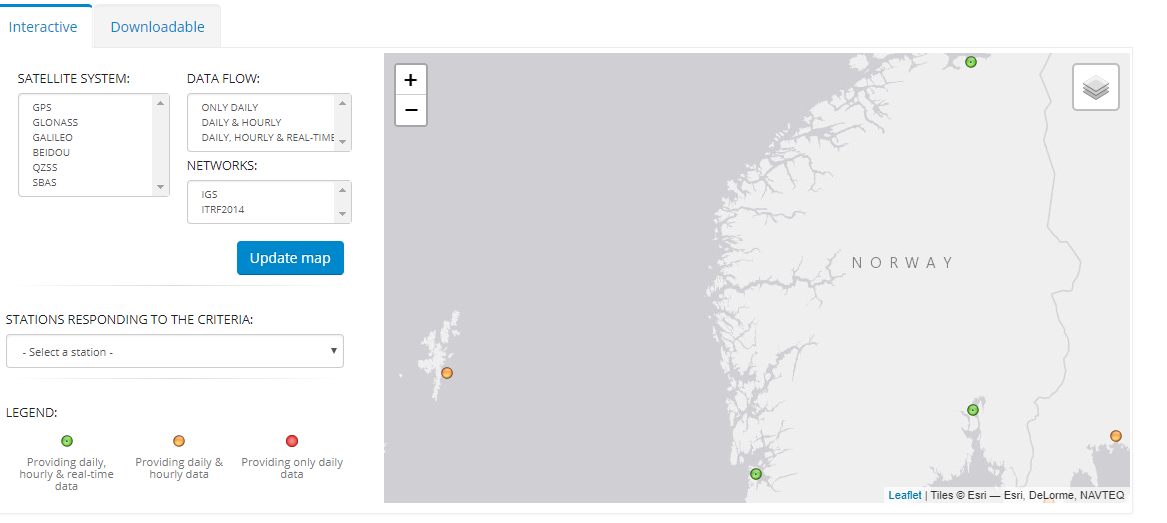
No, I went to User-friendly CORS site and pulled it myself. National Geodetic Survey - User Friendly CORS v4.0
Very good. As my actual plan B, I shot GCP’s so it’s not a catastrophe, but I was more interested in knowing if there was a way out. Imagine if I had been flying the P4P RTK and the base died. On RTK it wouldn’t have been doing any logging on either side… Thanks my friend.
1 Like


Well, I guess it is a matter of perspective. We have no public service. Everything is paid for except for the TXDOT after-the-fact download. Is this normal? I find it fishy that I pay taxes to run that facility, but only have this access to it. I guess, at least they shared…
We have expensive fees too, giving access to more stations. Other then that it is only those 3 ish visible and free you see on the map and known monuments, if your own base is used.
VRS is the common tool but expensive.
Maybe the SSR will be a game changer when operative.
1 Like