Hi! I’m working with point survey data collected using a Reach RS2 base and rover pair in RTK. The base was set up over an unknown point and its position established using average single position over 20 mins (so no antenna height specified) before points were surveyed using the rover. All settings as specified here: Base and rover setup | Reach RS2/RS2+. The base was logging for a few hours so I’d like to use data from a nearby CORS station to first improve my base position result and then the accuracy of the point survey data from the rover. I’d be grateful for a sense-check on my workflow and antenna-related options in Emlid Studio…
Step 1: Static processing of my base
In Emlid Studio, select Static Processing and run with following:
Static receiver: used raw rinex data from my base here but wasn’t sure whether to specify “no antenna height”, or choose “use antenna height” and set the measured height to 0 m?
Base: used multiple hourly rinex files from CORS station < 15 km away
Navigation: navigation file from my base
Step 2: Kinematic processing of rover data using new base position
In Emlid Studio, select Kinematic Processing and run with following:
Rover: used raw rinex data from my rover here but, again, wasn’t sure whether to specify “no antenna height”, or choose “use antenna height” and set the measured height to 0 m?
Base: specified in lat/lon/height using the POS file for my base generated in Step 1
Navigation: navigation file from my rover
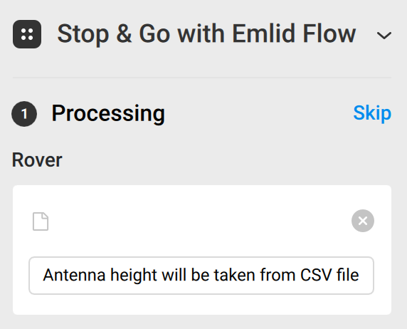
Step 3: Update position of surveyed points using Stop and Go with Emlid Flow
In Emlid Studio, select Stop and Go with Emlid Flow and run with following:
Processing: Skipped this stage as PPK solutions for base and rover already completed
Generating corrected CSV:
Processed solution: used the POS file for my rover generated in Step 2
Project from Emlid Flow: used my original survey csv exported from Emlid Flow
Grateful for thoughts/advice!