We’re excited to introduce polygons support in Emlid Flow and Emlid Flow 360!
To create a polygon, collect a line with 3 or more points and close it, or form a polygon from previously collected points and lines. Use polygons to easily define precise boundaries for land parcels, properties, and other areas and instantly calculate surface area and perimeter, making mapping and land management more efficient than ever.
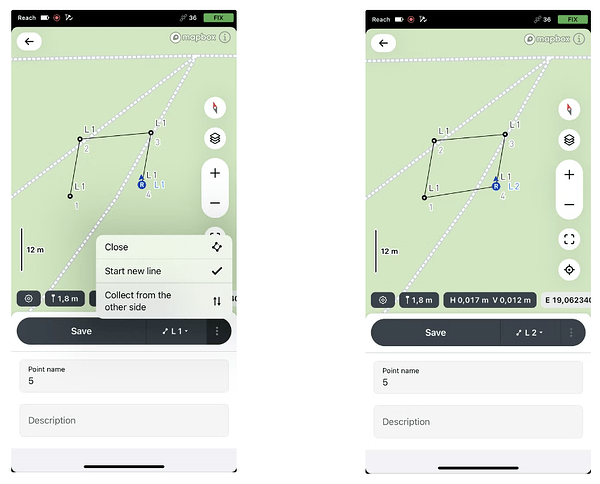
In Emlid Flow, collect a line with at least three points and close it:
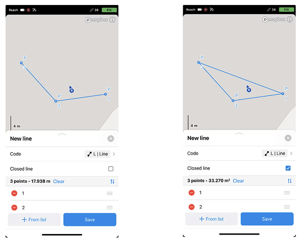
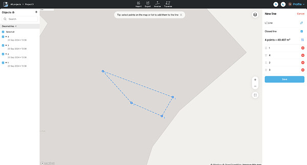
Use Emlid Flow or Emlid Flow 360 to create a polygon from the previously collected points or lines by selecting the points and making a closed line:
Learn more about working with polygons in Emlid Flow & Emlid Flow 360 in the Work with polygons and Create polygons guides in our documentation.
Emlid Flow also easily imports and exports polygons in any suitable format—DXF, SHP, KML, CSV—giving you even more flexibility in your workflow.
Give the feature a try today!


