


How an RTK Survey Helps Miners
Centimeter precision with GPS surveying is an all-important feature for planning land works — and the mining industry is no exception. When it comes to exploration drilling, designing and excavating a pit, or locating the same drill holes in it, RTK receivers come in extremely handy. Since the size of the open-pit mine influences financing risks, accuracy is crucial. We have talked to our user Josh Waters from Valdez Creek Mining about his experience with Reach receivers and how they help improve the precision of a pit design.

Reach RS2 at Valdez Creek Mining site, AK, USA
Why Mining Survey Should be Accurate
Valdez Creek Mining is a company operating in Alaska. The team uses the latest technology to research and mine gold deposits. Their goal is to bring accuracy to every step of the workflow.
The logic is simple — one should create an open-pit mine as precisely as possible to rule out the pointless expense. And that’s where centimeter-accurate surveying comes in handy. This is how Josh puts it:
Without the GPS, we take the risk of either missing parts of our intended target if our design doesn’t allow an appropriate margin of error, or designing a less efficient pit. With Reach RS2, we were able to have confidence that our most efficient pit design would not miss its mark.
Josh Waters, Valdez Creek Mining
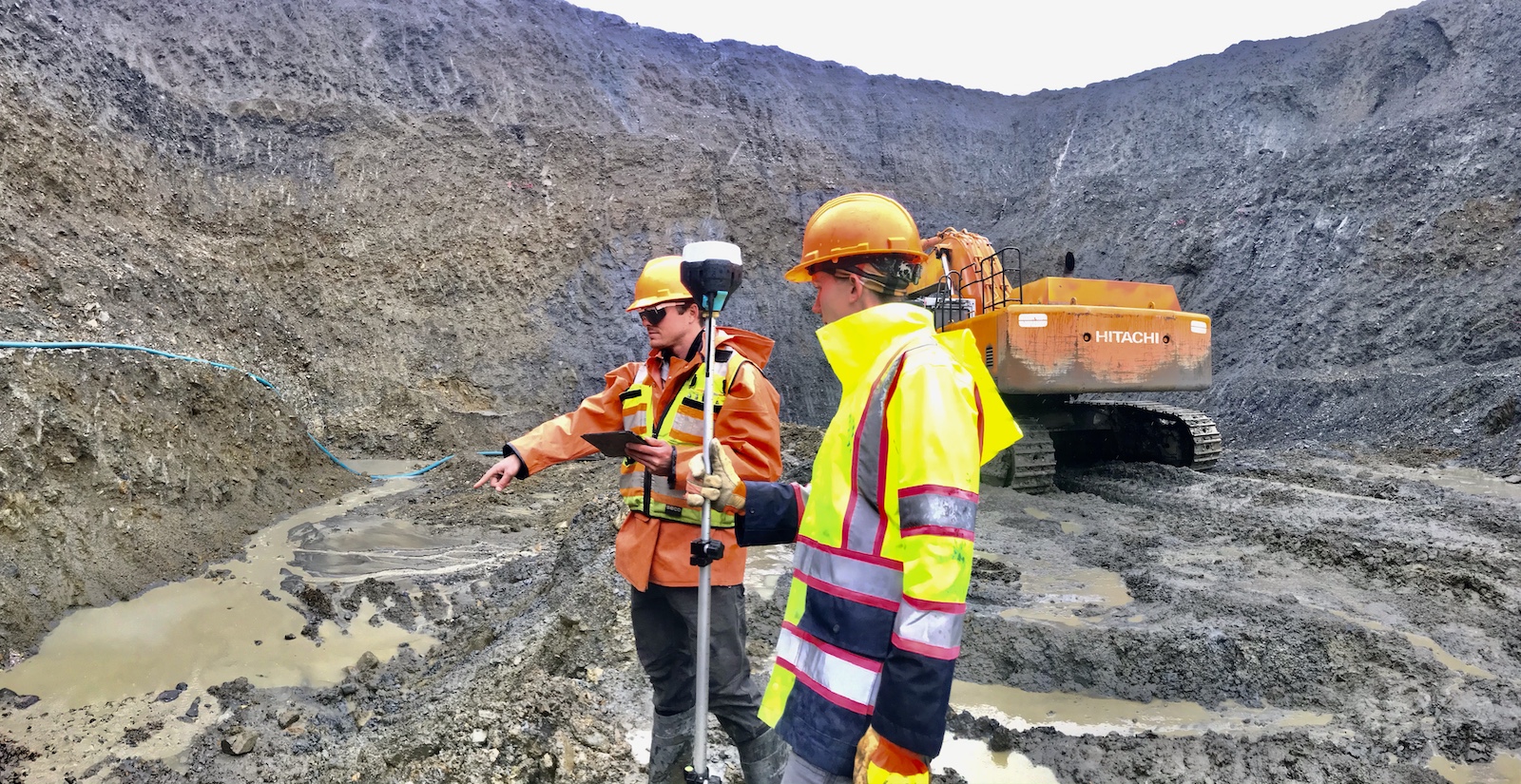
Using Reach RS2 in an open-pit mine at the Valdez Creek Mining site
Previously, the team tried to use hand-held GPS tools. However, they didn’t provide centimeter precision: Josh and his colleagues struggled with ensuring both lateral accuracy and correct elevations. Everything changed when they started using Reach RS2 for the mission — the receiver provided centimeter-precise positioning, which allowed a pit to be more efficiently designed.
Using Reach Receivers to Design a Pit
The common workflow includes using RTK to survey drill collars, and locate them again after the excavation. As Josh mentions, it “gives us the confidence to design our pit to be as efficient as possible.” His team used two Reach RS2 receivers — one as a base and the other as a rover — to survey a site for the gold mine development. The receivers were used for the following tasks:
- Establishing base points by logging raw data and post-processing it via NOAA’s PPP
- Surveying drill collars in RTK mode
- Exporting the results to a GIS app for mapping and designing a pit
- Using established base points to place GCPs for progress monitoring from a drone.
Reach RS2 allowed the team to design a pit around drill collars with lateral accuracy of up to two centimeters. The receiver also provided precise positioning not only under the open sky but inside the pit as well:
This season was our first time using Reach RS2 and it exceeded our expectations. Specifically, we anticipated more difficulty with signal reception inside and along the walls of the pit, but it performed very well.
Josh Waters, Valdez Creek Mining