


Currently according to Esri’s information the Emlid Flow app is not set up as a provider for collecting offset data in Field Maps. Is this in the works? If not can it be?
Hi @ryan.gay2013,
Can you clarify what you mean by data offset? Maybe you can share a screenshot of what this feature looks like?
Please see the link below for more information. Scroll down to the “Capture Offset Locations” portion.
The idea is to be able to capture a point or line and polygon vertex without being physically at the point. We run into this situation quite a bit and having this functionality would be very beneficial.
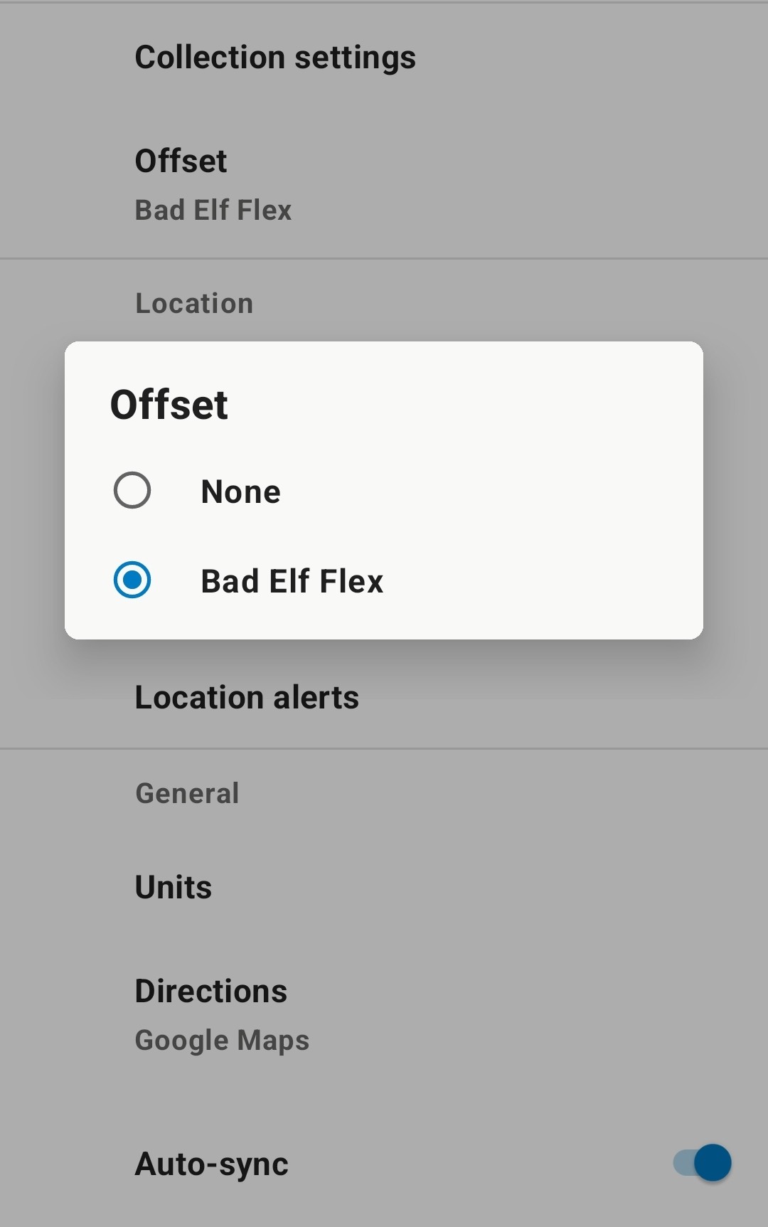
Here are some screen shots. When you have a supported app (in this case the Bad Elf Flex) installed on the device, you then get an option in your field maps user settings to select an offset provider (SS1 and SS2). Then when you collect a point it gives you an option to collect an offset point (SS3) using said app.


I am currently running 5 RX units and 1 RS2+. So the addition of this option would greatly benefit my company.
I guess I’m old school, I always carry a field book, Robert, compass, pocket tape and good compass.
However there’s something to be said about this app. It would be cool to enter the above info in a dedicated offset command. You can still “traverse” with this offset data though.
Ryan, sorry for the radio silence.
Thanks for clarifying . We currently don’t support this but I have passed the idea to our development team.
I appreciate the update. This is a needed option for us. If it is something Emlid cannot do we will have to switch to a supported GPS receiver. Please let me know if there is any movement to incorporate this. Thanks again.
I will add my vote for this option. I use a Trimble Geo for a lot of mapping grade data collection and the offset feature frequently comes in very handy
1 Like
Hi, @troush10
Thanks for your input. It definitely sounds like a great feature on your workflow!