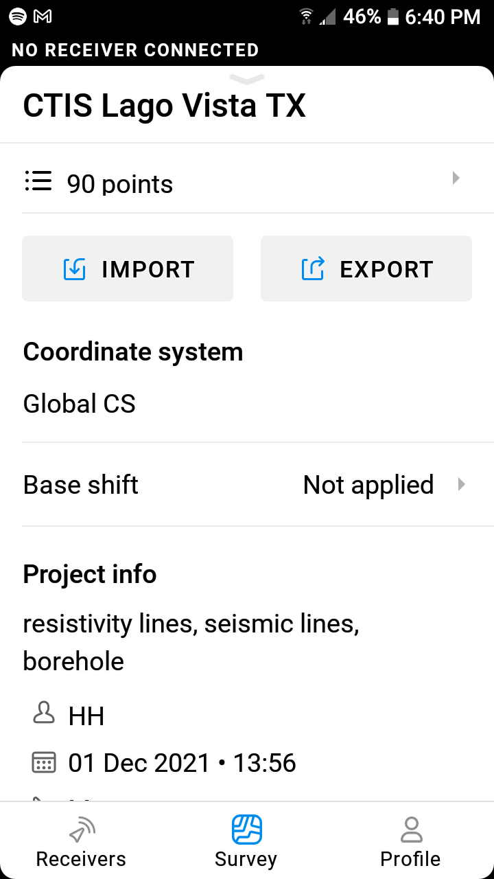
I recently collected 9o points. When I export my data points as an *.csv file from the ReachView 3 App, my *.csv file does not contain data from the “Easting, Northing, Elevation, and Description” column, which are the most important ones!
I know the antennas are both working properly because I exported the file once with 80 points and I got all of the points and its columns just fine. But now I have this problem. Please let me know how to fix this issue with the ReachView 3 App as soon as possible.
I hope you can provide an answer as soon as possible.
I find it strange that RV3 App is not populating the CSV log file when it is exported. That is what the App is supposed to do, and it just decides to stop doing it.
Global CS uses geographic coordinates in degrees. They are written in Latitude/Longitude columns. Easting/Northing columns are for projected coordinates in meters. That’s why they are empty while using Global CS.
Probably doesn’t have anything to do with it but we are in the Austin area as well and just had one of our rovers start doing this a couple of weeks ago. I have a support ticket in.
I just noticed you are using a Global CRS. Can you detail why? I have never tried that before because we always use the standard EPSG 6578 and 6588 codes for Austin and San Antonio respectively.
Just wanted to chime in with a small comment. The issue Hector faced wasn’t really an issue. It’s just the way the Global CS option works.
We implemented this option to separate projected and not projected coordinate systems and optimize our database. The Global CS provides geographic coordinates in your base’s datum. That’s why Easting and Northing columns are empty there: they are meant for projected coordinates.
Your case is related to other reasons, but I’ll be able to say more once I receive the data, as we’ve discussed in private.
Understood. I only mentioned it because the app itself reverted our project to GCS after we had already entered the correct State Plane code. That’s when the points disappeared. The ticket has my pilot in direct communication so he’ll be able to explain better. When I lost points they were completely gone, not just missing the SP coordinates.