Does anyone know what the ellipsoid used for NAD83 (2011) is? My vrs runs NAD83 (2011) but can not determine which ellipsoid it uses.
Ours is GRS80.
I think the best you can do is to contact the provider of your VRS, instead of having guess. They will have to know!
Surprisingly they haven’t been able to give me a straight answer.
Is that somewhere that you look it up?
That’s sort of scary :S
2 Likes
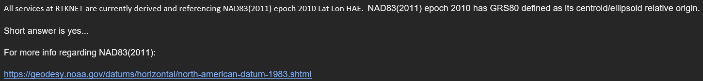
This is where RTKNET pointed me…
https://geodesy.noaa.gov/datums/horizontal/north-american-datum-1983.shtml
1 Like
Can you send me the link where it pointed to this page?
It was in an email from our rep. The only technical information online about the service is on the Trimble Pivot WebApp. I would imagine your service has a similar network information access portal.
They do. They are also running RTKnet software.
What’s your network?
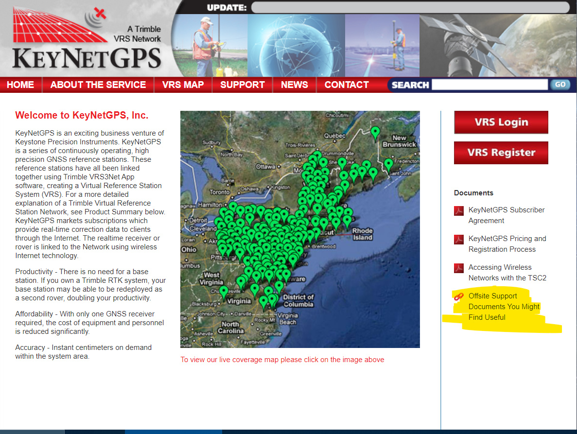
KeyNetGPS, keynetgps.com.
I don’t know if they are in any way coordinated, but i’ll email my network admin contact now. Maybe they know something.
Thanks
NAD83 (2011) is a PROJECTED coordinate system, WGS84 is a GEOGRAPHIC coordinate system.
GRS80 and WGS84 are extremely similar:
Probably WGS84. But they need to provide that important information. Can you download some data sheets that may show if WGS84?
More and more leads me to believe my systems is going to be using GRS80.
Just to keep us all straight. NAD83 and WGS84 are both geodetic. Not to be confused with State PLANE coordinate systems based on NAD83 which are listed as such… NAD83 Lat/Lon or DD.DDDD vs NEZ (m or usft). Different things. Also, here is a good source on the ellipsoids.
5 Likes
Seth,
I found this documents on the keynet web portal;
http://www.wsrn3.org/CONTENT/Reference/Article_RTN101Part9-Geodesy.pdf
Hope this helps
JM
1 Like