


I am trying to make sure when I collect the coordinates with RS2 that they will be be using MSL DATUM is that possible?
I think what you might be looking for is orthometric heights. MSL is not a datum used for surveying unless you are at the coast and is even less rare with regards to GNSS. You might spend a little time reading up on the ellipsoid, geoid (sort of an average of global sea level), geoid heights and how they work together to create orthometric heights. There are also local leveled benchmarks, but don’t worry about them unless you are in Engineering or Construction. Ignore the title, no offense intended. ![]()
3 Likes
i am doing a map for an engineering company focused on coastal erosion, the surveyor asked that the gcp points be in msl datum, thats why i ask
Ask him what datum he wants it in.
In that case you will need to shoot one of the local tidal benchmarks and adjust your elevations. The way this would normally be done is a localization, but Reachview does not have that option. I would shoot two if available just as a check.
1 Like
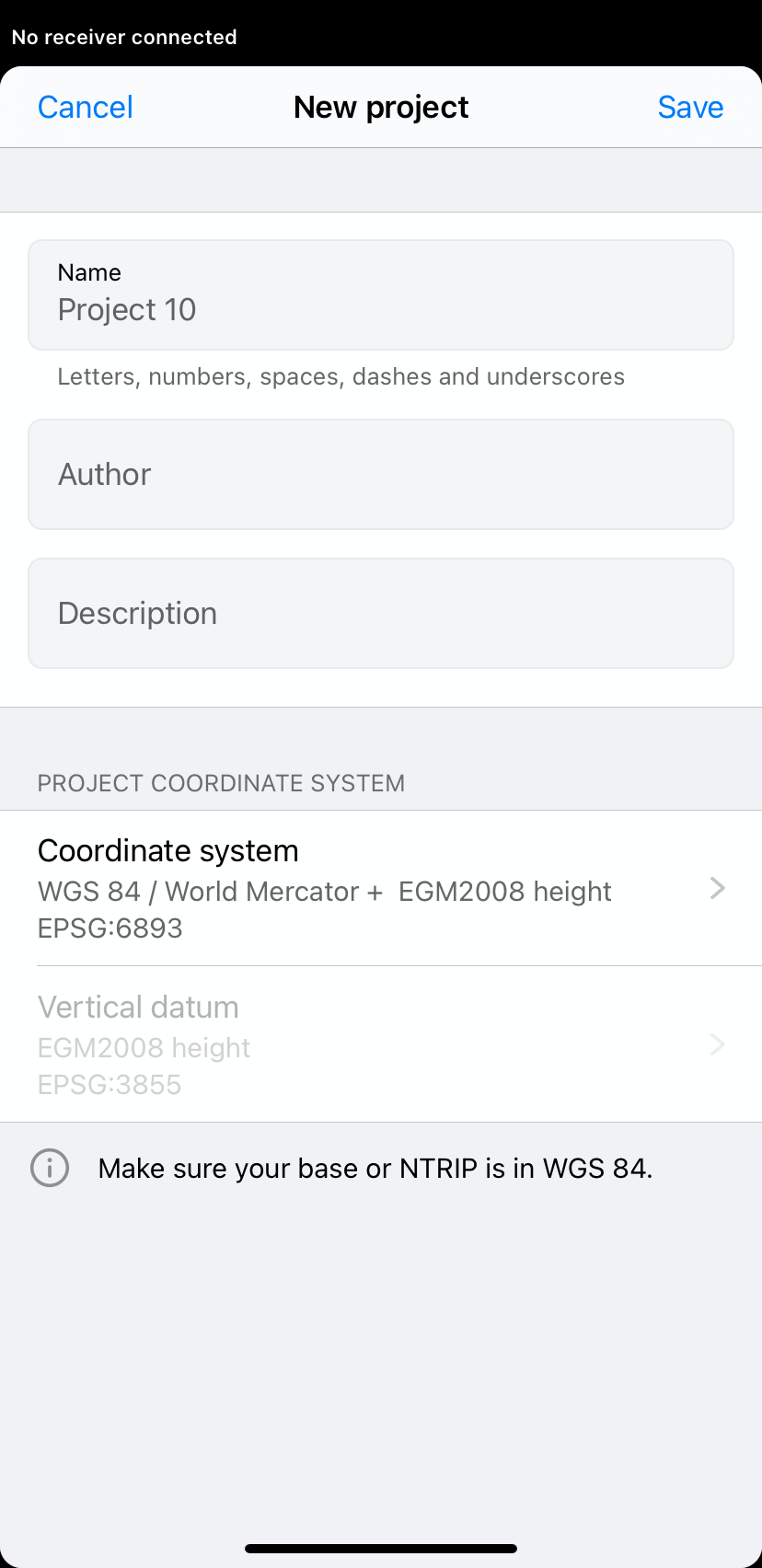
Egm2008 seems to be the one
Hi Brett,
I’ve just checked that we have EGM2008 in ReachView 3. For example, you can choose the coordinate system as on the screenshot below:
Could you check with your clients if it suits them?
Keep in mind that the final desired product really depends on the purpose of the survey. It sounds like your case is for erosion tracking so it really only needs relative accuracy from observation to observation so the vertical datum you use may not be as important. When it would be important is when there is any construction involved and then you will realize the the EGM2008 datum will most likely not match your local MSL benchmarks. Keep in mind that EGM2008 at best is a 1-second grid and allot can happen over time and across 90-100ft.
1 Like
This topic was automatically closed 100 days after the last reply. New replies are no longer allowed.