Hi,
just thought I’d show a project I’m working on with bare minimum equipment. In this case :
- Single Reach M+ and default Tallysman antenna
- battery, pie plate, broom stick, e-tape
- wifi internet (building close by)
- public RINEX broadcaster (40km baseline, not ideal)
- cell phone for data collection
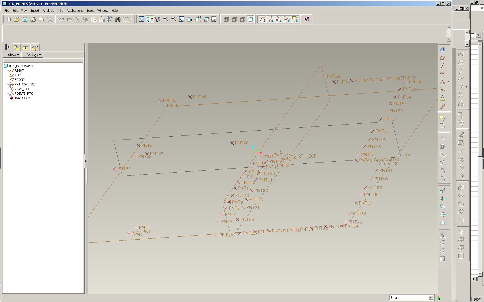
The data required is a mapping of the ground surface around a building, requiring only relative precision for Z measurements (slopes).
At first I tried probing some points while logging raw observations, but I was never able to obtain quality results in post-processing. Most likely user error – PP is stupidly complicated. What finally worked was simply working with a public base station feeding live RINEX data over a TCP connection. With this, within a few minutes I had a “FIX” solution and proceeded to collect about 70 ground points.
Two of these points, at the start and end of the survey session, are on the same “monument” (stake in the ground); both points were within 15mm which is better than I expected considering my methods.
Next steps:
-
export survey as CSV points; spreadsheet magic to clean up fields
-
validate sanity in QGIS
-
convert coordinates to UTM
-
spreadsheet magic to interpolate some points which will match with CAD features (e.g. corner of building, etc)
-
spreadsheet magic to produce a CAD-friendly format
-
import to CAD and correct azimuth to fit with building CAD
-
tadaaa