


Originally posted at Emlid blog.
A set of Reach RS was recently used in a challenging remote sensing project in Iceland by researchers from the University of Latvia.
The research team is led by young scientists Dr. geol. Kristaps Lamsters, Dr. geol. Jānis Karušs and Dr. geol. Māris Krievāns. The team already carried out six scientific expeditions in the Arctic and Antarctica. It focuses on geophysical and remote sensing studies of modern glaciers.
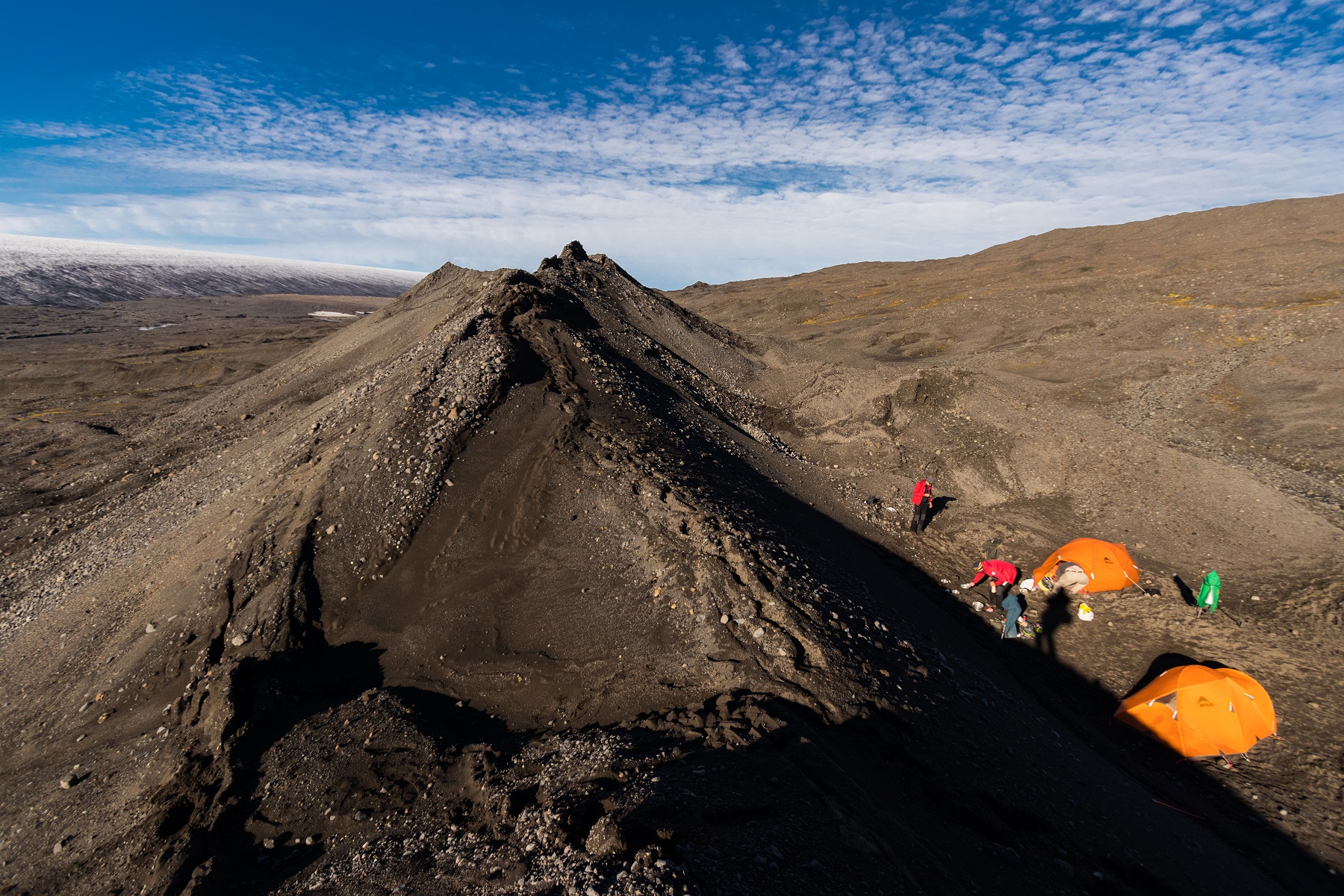
In 2018 the group traveled to Eyjabakkajökull glacier in Iceland. The main goal was to investigate the glacier thickness, structure, and subglacial topography.
The team used ground penetrating radars and unmanned aerial vehicles to collect all required data. A set of Emlid Reach RS receivers was used on the glacier to measure ground control points and to measure start and end points of GPR profiles.
Measure GPR profiles
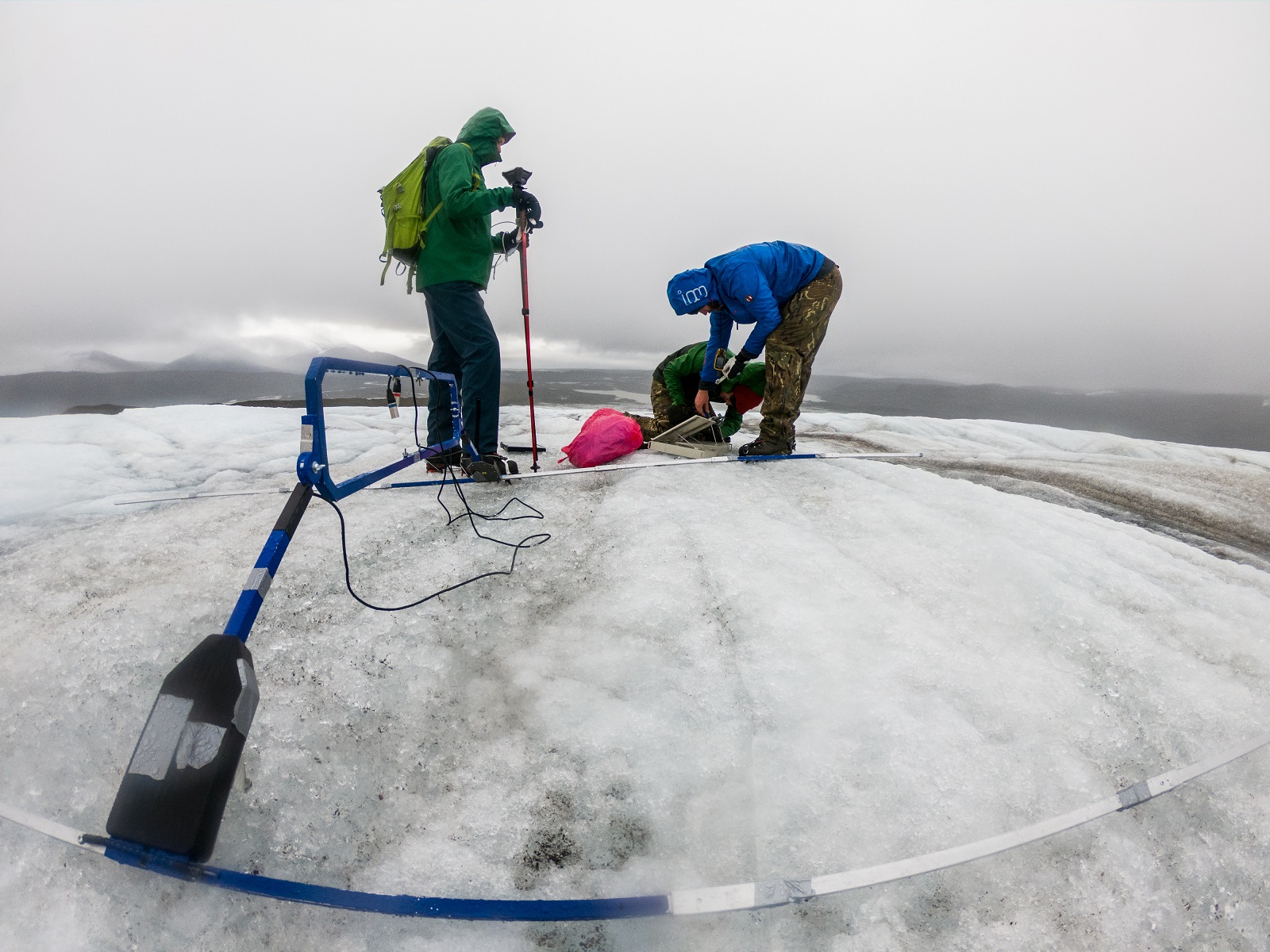
Collecting data with ground-penetrating radar on the Eyjabakkajökull glacier
During this project, Reach RS was used to record the precise location of the start and end points of the GPR profile. That allowed georeferencing data from GPR.
Place GCP (for DJI Phantom)
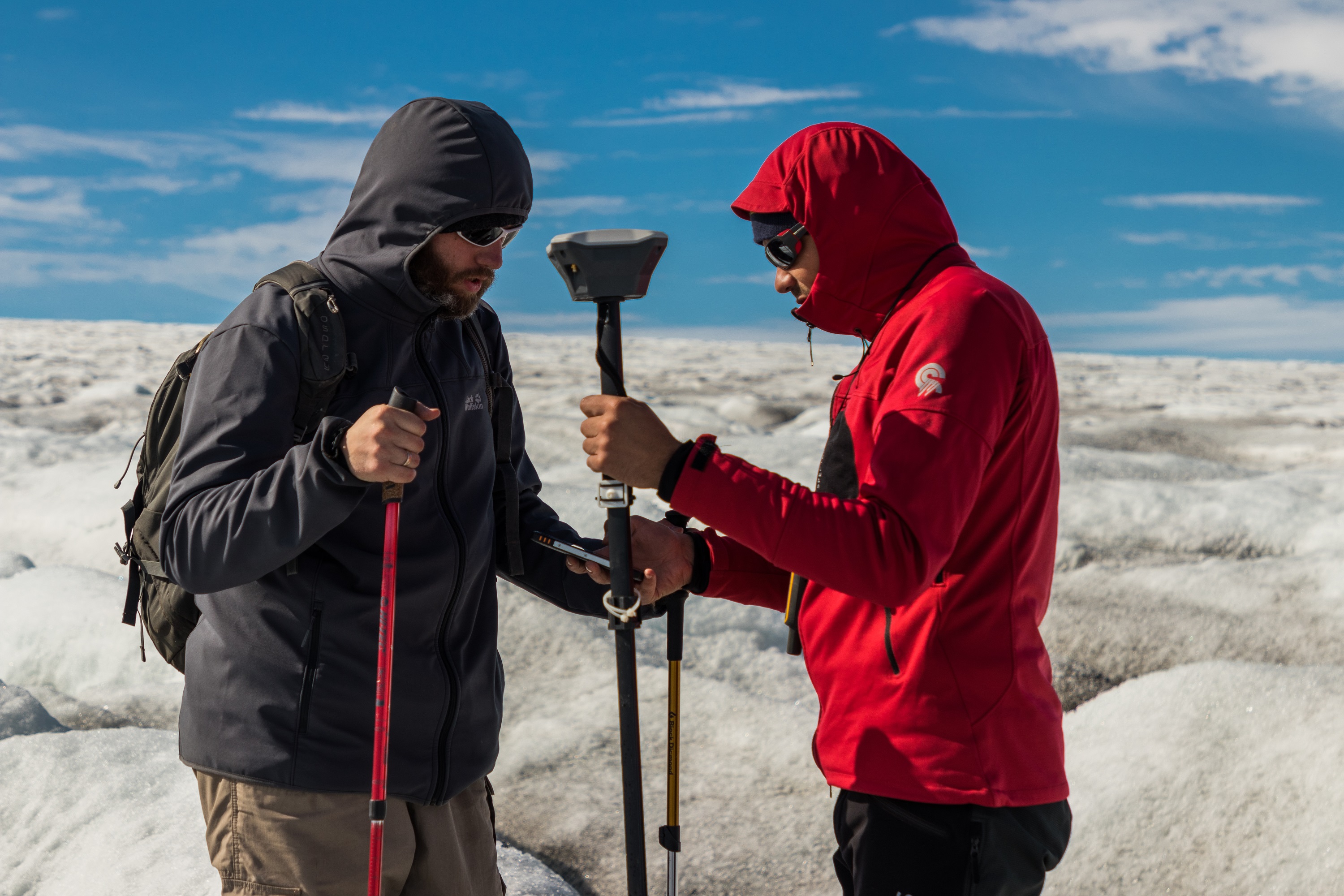
Capturing Ground Control Points with Reach RS
The researchers collected data with a UAV to create surface elevation maps of the glacier. The team used to the following workflow:
- Distribute the ground control points (GCPs) around the site
- Survey GCPs coordinates with Reach RS
- Fly the mission with DJI Phantom drones
- Import the photos and GCPs into image georeferencing software
- Process orthophoto and DEM
In the end, the researchers successfully created reliable models of the ice surface and subglacial topography.

We used two Emlid GPS, one as a base and other as a rover, and were surprised by the good performance and long battery life in very windy, wet and cold conditions. - Jurijs Ješkins, the researcher at the faculty of Geography and Earth Sciences, University of Latvia
Considering Reach RS+ for an upcoming project?
Reach RS is designed to work in harsh conditions. It is protected from water and dust and works at -20C…+65C so you may not worry about battery life or accidental drop. With all connectivity options, Reach RS may be used for a variety of tasks within a single project whether it is a polar survey or oyster reef mapping.
Reach RS can be integrated with geophysical equipment over RS-232 or Bluetooth. Such integration allows collecting GPR’s data with geolocation accuracy of few centimeters in the real time. Typically Reach RS outputs the position in NMEA or other formats to GPR’s software. The software then merges positional and GPR’s data.
Emlid team thanks master student Jurijs Ješkins (@jurijs.jeshkins) and the rest of the team of Faculty of Geography and Earth Sciences from the University of Latvia for the initiative in using Reach RS during the expeditions and for sharing amazing photos from Iceland.
Originally posted at Emlid blog.
