OK, the quick answer is your problem is up front with the contour generation. The huge number of little jiggly and dangly artifacts in the contour lines are compounding into a gazillion triangles that are blowing the file sizes out.
It’s easy fixed and best explained in pictures, this is long but bear with it…
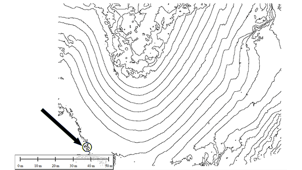
This is your original contour file. It already looks jiggly when zoomed out but gets much worse if we zoom in:
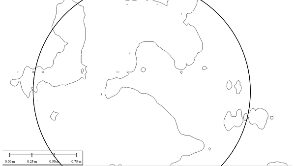
This is the little circle:
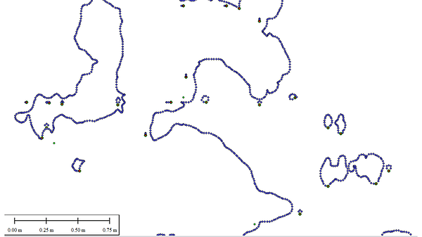
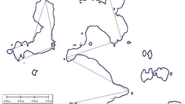
And these are all the points in those lines, and check the scale it’s now at the decimetre level:
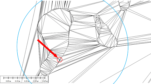
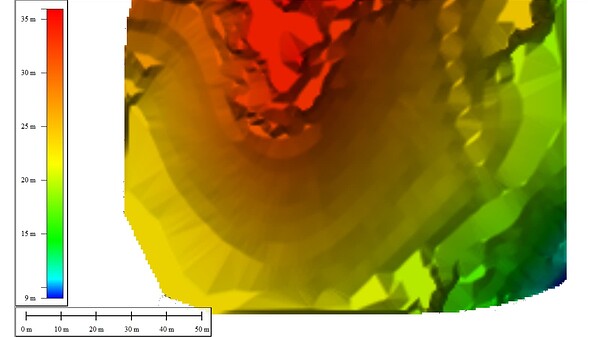
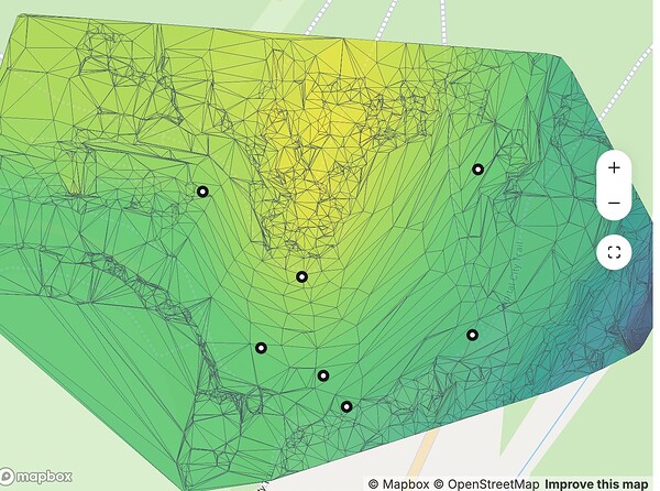
And as a result the TIN suffers excruciating agony, it’s extremely busy and it also gets worse if you zoom in:
To here:
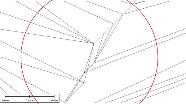
Then further again to here, note we are now at the cm level and it’s over the top and not commensurate with your collection precision and accuracy:
My lights went dim while this was processing as I was watching TV. Global Mapper by default chased down every single one and proudly presented me with a 2.7GB LandXML file.
What you need to do is look for QGIS functions that Smooth, Simplify, Resample, or similar terminology while you are generating the contours and/or clean them up afterwards.
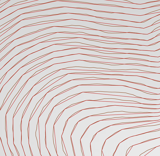
Global Mapper does all of these, and in this case for the purpose of illustration only I chose a quick and dirty simplify to 2M and you can see the effect in the black line overlayed on the same screenshot above at the decimeter level here:
And this is the overall result of the simplification here, yes it’s still ugly but the intention is to give you a quick idea at the other end of the extreme:
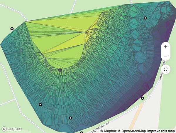
And in this case the final TIN visually looks like this:
As a comparison the resultant LandXML file for the simplification is now 4MB.
Your call how you balance collection vs actual terrain, detail and file size, but you can see quite clearly if you follow this process that the noisy artifacts have to go.


