


-
Project Name: CENTROID
-
Background and motivation: I am a Product developer, Design Researcher. My motivation is the proliferation of fake titles, expensive land survey, time consuming field work and fragmentation of data sources. I am still looking for great teammates!
-
Project steps:
A. Initial Builds
B. Search for Partnership/Collaboration
C. Prototype test
D. Demo Prototype
E. Commercialize
-
Main components: App, database, drone automated data collection, Very lite build of Reach RS/Reach,
-
Photos and Videos: https://herox.com/AiLTA/entry/10006
Forum | ALTA Land Survey Software Automation Challenge | HeroX -
Step by step documentation of building process (optional): raw Adobe XD
Concept
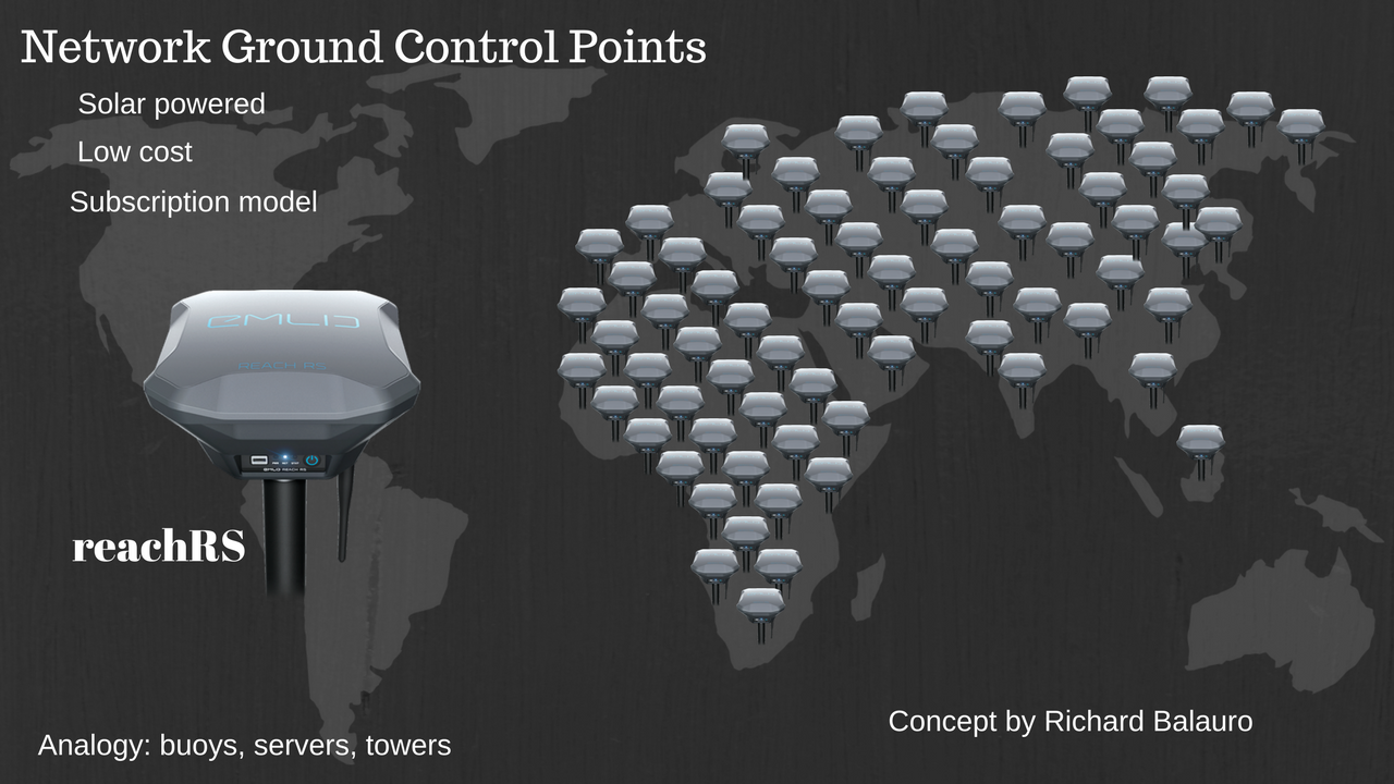
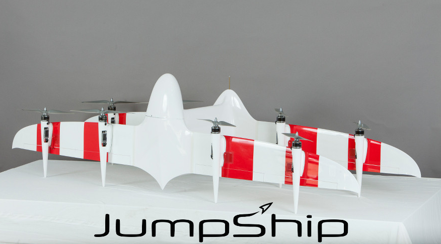
Drone Platform to be explored on this application use case
Updates
Semi Auto Aerial based land boundary Survey