


What is the workflow for this?
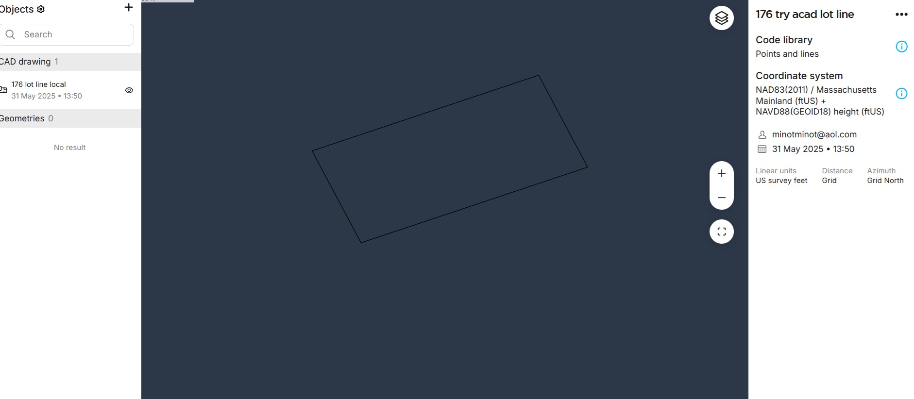
I have a plot plan with bearings and distances in ACAD LT that I uploaded to Emlidflow360 project.
I have two lot corners that I can obtain Massachusetts coords for with RS3 rover.
How do I transform plot plan so that I can stake out lot line >
thanks
again
boston
")