Hello,
I need to export a Survey Project from Emlid Flow in Local Coordinates, but it appears they are only exported in Global. Does anyone know if this is possible?
If it’s not possible can I use the NCAT tool on the NGS / NOAA website to convert the Global coordinates to Local coordinates?
Or are the Easting, Northing, & Elevation data in columns C, D, & E the local coordinates?
Thanks in advance!
2 Likes
timd1971
November 12, 2023, 11:31pm
2
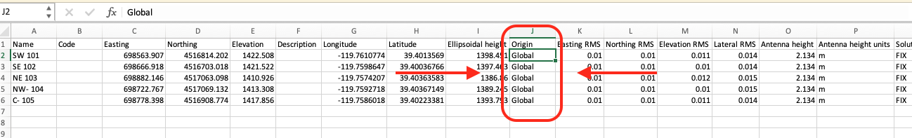
C, D & E are your Local Coords. of the coordinate system that you set the project up with.
6 Likes
Hi Eric,
I agree with Tim. The Origin parameter just shows which set of coordinates is initial in calculations.
3 Likes
system
February 22, 2024, 4:10pm
6
This topic was automatically closed 100 days after the last reply. New replies are no longer allowed.