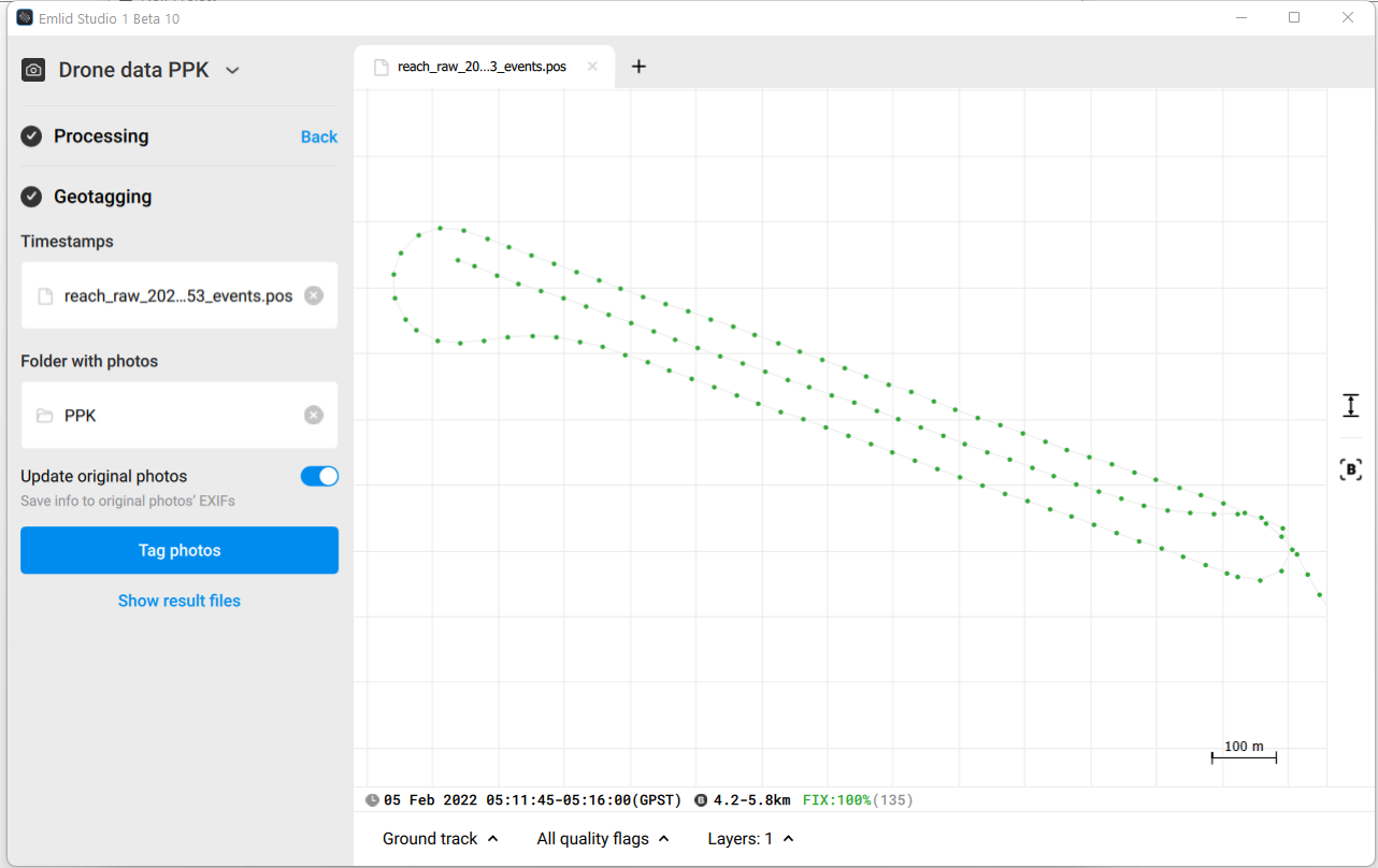
I am new to drone mapping, I had a test flight yesterday to check the accuracy of Emlid M2 PPK. I have succesfully geotagged 135 photos with FIX solution using Emlid Studio 1 Beta 10.
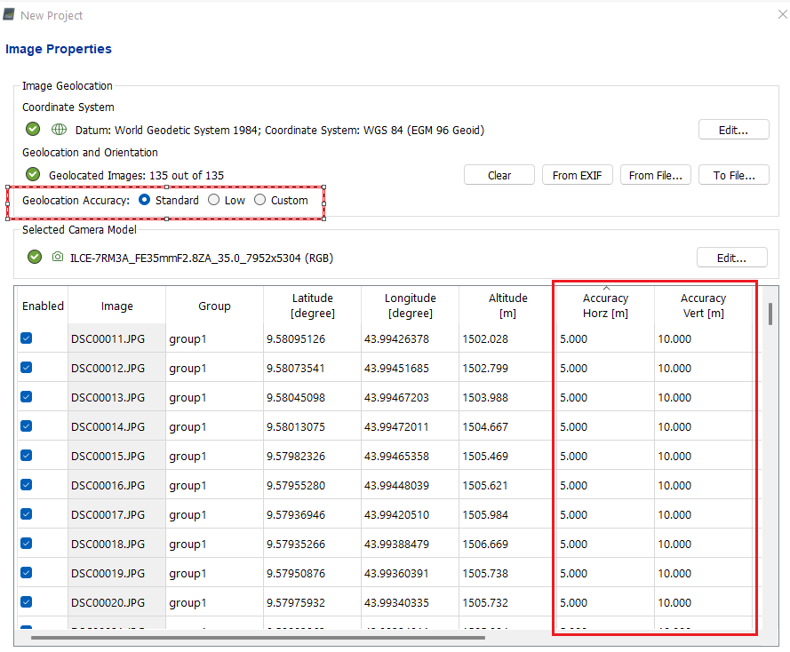
I don’t use Pix4D, but that looks like a user set parameter. In other words, if the accuracy expectation is not specified in the image exif data, then the default in Pix4D is probably “standard”. Select “custom” and put something more appropriate for an accuracy estimate.
@dpitman probbaly that is the reason, the accuracy information not specified in the image exif. But I was wondering if there is a way to write the accuracy information during Geotaging using Emlid Studio.
Dave is right: you’ll need to change these values in Pix4D to reflect the high accuracy of image center coordinates. For Fix solutions, you can use 0.01 Accuracy Horz and 0.02 Accuracy Vert as shown in our PPK mapping guide.
I was curious and went to check, Pix4D can in fact process the accuracy fields if you provide an external geolocation file as outlined here. I guess I never had to use it as we work with GCPs, never from RTK entirely.