Is there a way for me to import points (lat/lon WSG84) in a project in Global CS and them being displayed on the map?
As I understand it, points are imported in the local coordinate system chosen for the project (if you have one selected), so the app won’t show them on the map since I’m in Global CS.
I know it is possible to add points manually with the global coordinate system, but that won’t be very practical if I want to import a large number of points.
Please let me know if there is a workaround for this problem (or if I’m doomed to enter my points one by one )
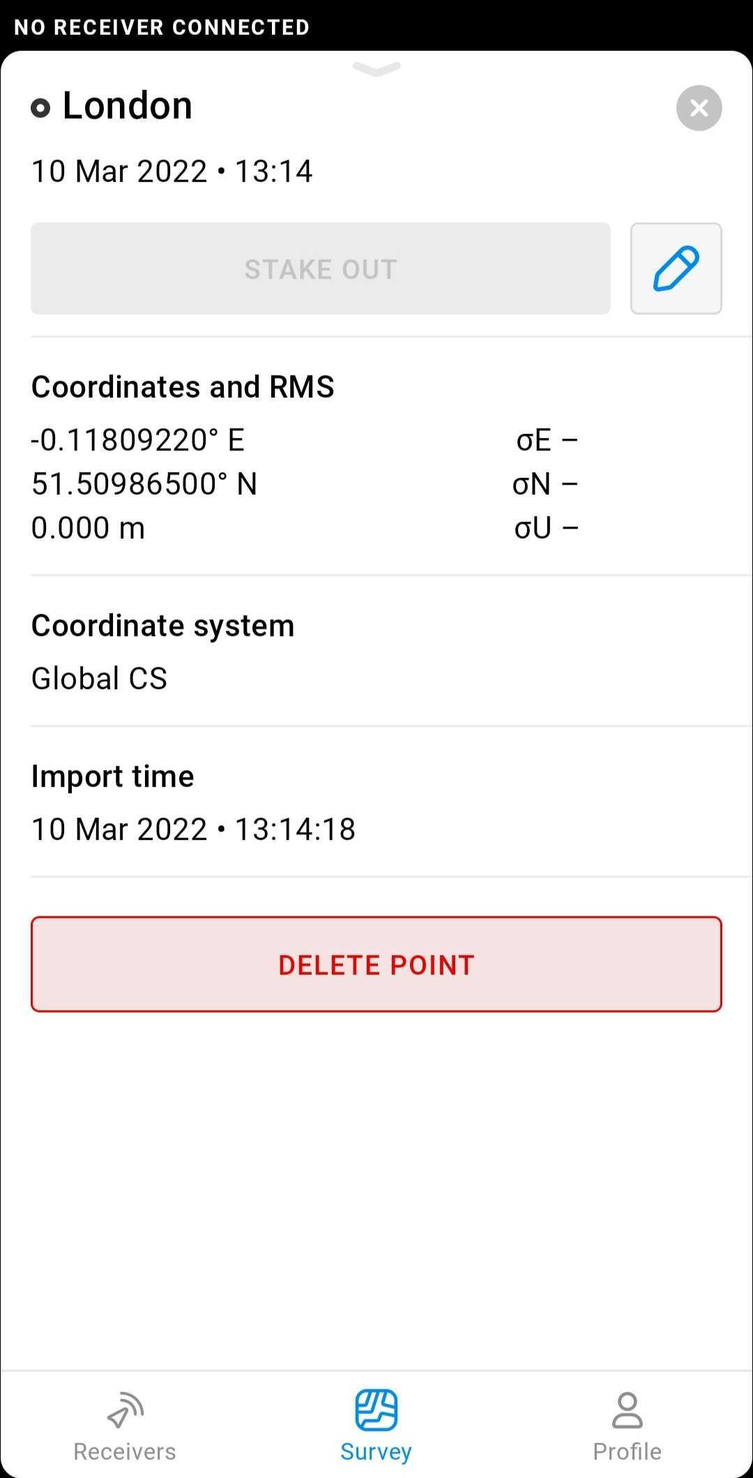
If you want to import points with latitude/longitude into the Global CS project, they will be displayed on the map.
If you want to import local CS points into the Global CS project, they won’t be displayed on the map. They should be converted into geographic coordinates first. Maybe I don’t fully understand the purpose, but I’ll suggest something more relevant if you could share a dataset. You can do it via PM as there could be sensitive data.
The point can’t be shown on map since it only has local coordinates
Most likely, this message appeared because you didn’t change Easting to Longitude and Northing to Latitude in the columns’ title. You can rename it in the CSV file this way:
Yep, that did the trick, I was adding columns and not renaming them. The example given in the app could potentially be improved. I did not understand that I had to swap the column name to import WSG84 coordinates.