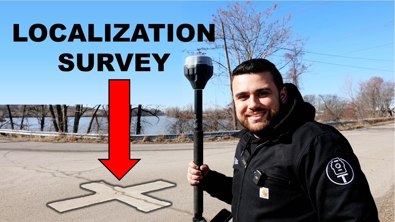
We just got an RS4 Pro, we have been using a Leica GS18 T to do surveys and building layouts for excavation and one feature of captivate that is very handy for us a GC/Developer is we can take a DWG site plan with building footprint and can import it without any preparing the cad file or applying a coordinate system prior to importing. To localize, you import the file into captivate, click the line work to import points, shoot some WGS84 points in the field, and tie the points together to localize and layout.
I am finding in Emlid Flow 360 that this yet not possible and requires us to prepare a file with the same coordinate system that we use for each project. We would like to request the feature added to Emlid flow 360 and also ask you in the community what the simplest way to accomplish our existing workflow. I understand QGIS would be one way to accomplish this but dont know how to manually add points from linework in QGIS and export a file that contains the linework and points in our coordinate system (I assume Shapefile or KML). Any help appreciated. Other than this issue Emlid has been performing well.
QGIS has a snap function that snaps to your imported linework if it is in vector format.
And the adjusted file is added to the layer in Qgis and from there you can add points or lines before you export it to Emlid Flow.
Welcome to our Community Forum, and congrats on your RS4 Pro!
You are right that the workflow you described isn’t in Emlid Flow 360, the web app. However, I believe it can still be accomplished using the localization tool in Emlid Flow, the app itself. It is more or less the same as what you’ve walked us through with a different approach:
Set up your project with the appropriate local coordinate system
Import your DXF file. (We currently support DXF files, rather than DWG, so I will pass your feedback as a feature request.)
Measure 3-5 points on the app with your RS4 Pro.
Pair the measured points with the corresponding points in the DXF file and perform localization.
Once applied, your layout will be adjusted to fit your area of work. To also walk you through, we also have a guide that covers this. You will see that this helps, and you don’t necessarily need to set a project in the same coordinate system as your plan. What do you think?
I’ve, however, noted your feedback and passed it on as a feature request for having it in Emlid Flow 360.
Not sure if this still applies but in this video from Tamimi the localization is carried out but as he stated, you might need the survey plan pro for the localization feature. Emlid might elaborate if this is still valid. If not, good video showing of the localization feature.
Might be the reason you didnt see the localization feature in the app?
@TB_RTK, thanks for the video. Yes, the Localization feature comes with the Pro Subscription. We do have a 30-day free trial that you can use to explore and try out such features.
Thought I’d come here and share the good news that Emlid Flow 360 now supports uploading a DWG file as CAD. I believe this should better things in your work without the need for the extra step of converting to DXF.
Feel free to check it out and share your feedback.