@DaneGer21
Two things
The MME costing is based on pixel count, you flew at 140’ not 400’ so expect 1700 image = 4000 pts = $99
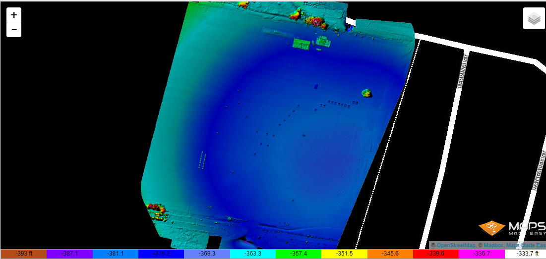
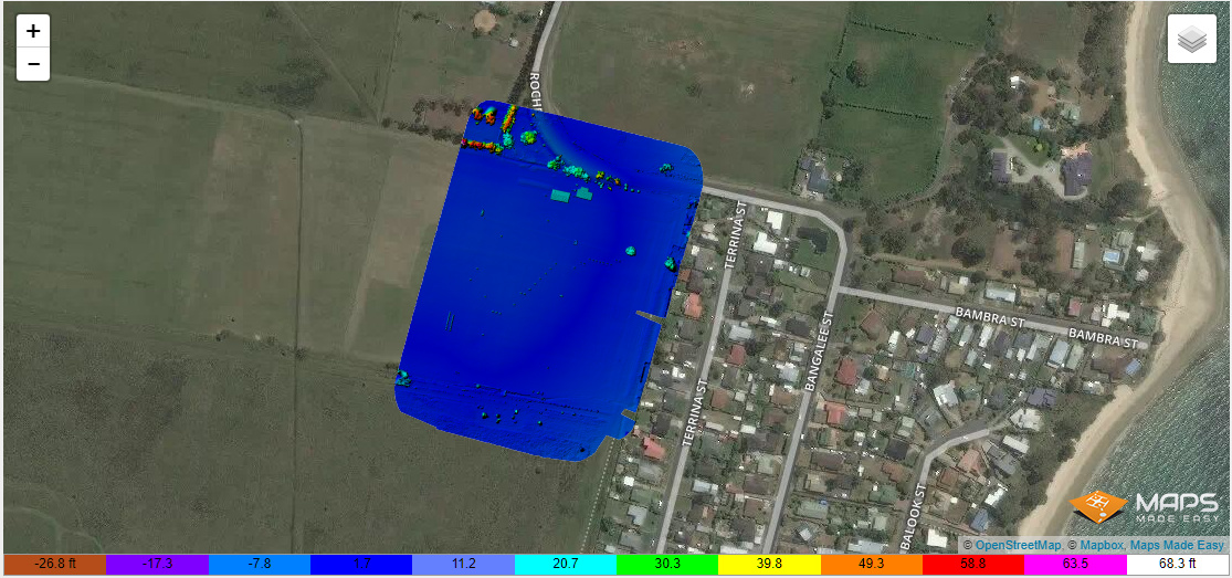
MME uses a floating camera calibration, which will potentially dome your surface and make it not very accurate in the vertical. As you are looking at peat drainage elevation might be important
Oh wow, I never knew about this. I need to purchase another drone and “hack” it like you haha. I need RTK on the drone not just the ground haha. I’ll start slow first as I can barely manage processing as it is LOL
Thank you so much for the knowledge you have given me, and more importantly your time. I will do my best to produce something useable. If it doesn’t work out I’ll eat the $99 and tell the boss he’s gonna have to hire the local surveyor for around $7500+. One good thing about this scenario, I’m not tied in to this, it was only an offer to me for some money on the side and potentially save our company money. I operate heavy equipment for a living, this drone stuff is just hobby work.
YOU can mitigate it by the use of GCP’s and by running the camera at a 10 degrees from vertical angle and running crosslines with the camera slightly tilted aswell.
Simply use the camera tilt roller on the controller once the drone is at survey level on its way to its first image. If you have display image footprint turned on (mappilot) you can see the change.