


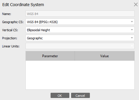
Hello Emlid Community. I want your help. If we are using Post processing kinematic (PPK) technique (Result we got is 100% FIX solution) to capture data and we have not marked any GCP points though can I achieve the accuracy? Also while exporting the point cloud data what all options I have to select in 1) Geographic CS 2) Vertical CS 3) Projection. My data covers 43N coordinate reference system.
It can be accurate, within a few centimeters depending on several factors, but are you even gathering GNSS check marks on the ground? I usually spread 3-4 spray-painted points on the site anyway to have something with which I can verify the flight accuracy.
Without any way to validate your results, the precision/accuracy of the photogrammetry process is meaningless.
As for export parameters, we can hardly answer. This will vary from projet to project. You need to ask or find out what the organisation you work for uses. Usually it’s more local horizontal and vertical datums (CS) and the projection often ends up being a variation of Transverse Mercator (UTM or MTM).
2 Likes
Hi @yash,
The comment of @Gabriel_C is right, it can be accurate the results but will depends, we usually recommend using Ground Control Points (GCPs). While they’re not strictly necessary, but the GCPs help to improve the reliability and accuracy of your data, especially for larger or more complex projects. They provide an additional reference to make sure your results align well with real-world coordinates.
About the suggestions on what to select on the point cloud data, since it is a non-Emlid app, I might not be able to give exact steps but feel free to share more details. If you can share more details about the software you’re using, that would help. Other users with experience in similar setups might also have some useful recommendations for configurations here in the forum.
This topic was automatically closed 100 days after the last reply. New replies are no longer allowed.