Hello everyone, I am new at this so I am asking for a little advice.
I am currently working with photogrammetry for which I am using Reach to position my GCP´s.
I am postprocessing my data but I am having problems with Z values, the are all negative, LAT and LON are ok. I was told by a fellow coworker that I can correct these values by selecting a corrected geoid model when postprocessing my data. My study area is UTM zone 12Q, specifically a national park called Parque Nacional Cabo Pulmo.
Can anyone advice me where I can look this up or, a specific model to use according to the zone?
You are in scary country (not the national park) dealing with elevations.
Q1) What elevation datum is used in your country?
Q2) is there a defined spheroid to geoid correction file for your country?
Q3) Do you really care as long as they look right ish?
Q4) do you know some key locations that you can visit for which you know the elevation, preferably within 10km of where you want to fly the drone?
I am not aware if there is a spheroid to geoid correction file for my country, as of my search until now I haven´t found any
Since what I am doing involves cuantification of sediment flow in short periods of time, I would prefer my data to be right than right ish
I have been looking for key locations, in Mexico we use what are called Mojoneras which I have found a few along the coastline in the park, but INEGI (The National Institute of Statistics and Geography) has not been able to provide the reference data.
Sorry, I meant dealing with elevations was scary country, not Mexico.
OK.
So you are more interested in long term repeatability than absolute accuracy in geodetic terms of reference.
If at each site you can mark a point with very clear sky view that you can protect and set up your reach base station on each time you visit this will be your reference. fullstop. Set up your reach basestation here in static mode log as many hours of data as you can and process using single. Whatever the average value of this is in lat, lon, height this will be your reference station values EVERY time you use this site. These coordinates will be in the loosly labelled WGS84 ellipsoid. If this spot is close to your worksite you can tie these values into a local grid or reference frame at any time using a block shift in Eastings, Northings and Height and not worry about the actual local datum definition.
The big one here is Z. find whatever tie in points you can visit them (10 mins fix at each site) and see if the offset from your reach derived heights is consistent. Doesn’t matter mow much as long as it is consistent. If it isn’t consistent then you don’t have a good local reference to work with, make your own. If it is consistent apply the offset.
As long as you have that consistent reference point your surveys will be repeatable. Which should work for you. If you are talking sediment in rivers then you can also develop permanent gcps on the banks (away from erosion) that you can use to tie the surveys together or use to reference the sediment to the local mapping. PM for more info.
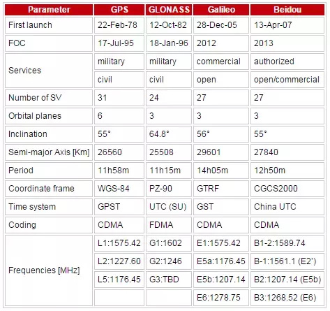
Here’s a question for Emlid given the table below, Although RTKlib reports in ‘wgs84’ is this only true when the only constellation in use is GPS (for a long term averaged single fix)? I know once we use RTK that it is tied to the ref frame of the reference.
Buenas tardes, de casualidad me encontre este foro, ya que me interesa saber la precisión y la funcionalidad de emlid reach y me dio curiosidad su post, que valores le esta dando el gps? menciona que son negativos, rodaran alrededor de -25 a -31 tal vez?. que serian valores de alturas elipsoidales para alturas orthometricas de entre 0 y 7. aproximadamente
Tal vez sea eso, ya que me ha pasado que varios equipos GPS exportan sus datos con alturas del elipticas, en este link puede convertirlas
Efectivamente, mis valores oscilan entre -12 a -31 aproximadamente. Si le soy honesta yo no proceso los datos del GPS, solo trabajo con ellos. Pero le comentaré a mi compañero para corregirlos. Muchas gracias! Saludos