


I have a problem to indicate the height of the base when an average coordinate is used !! there is no place to indicate it, it only allows it when they are known coordinates. How do I make the coordinates of the points surveyed and set the elevation of the antenna?
Can you come with a concrete example ?
I must enter the height of the instrument 2.52 m in the base
You do that under “Base mode”
In the base enter to base mode
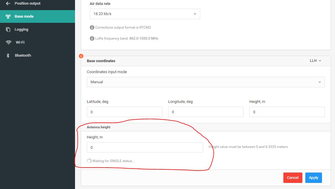
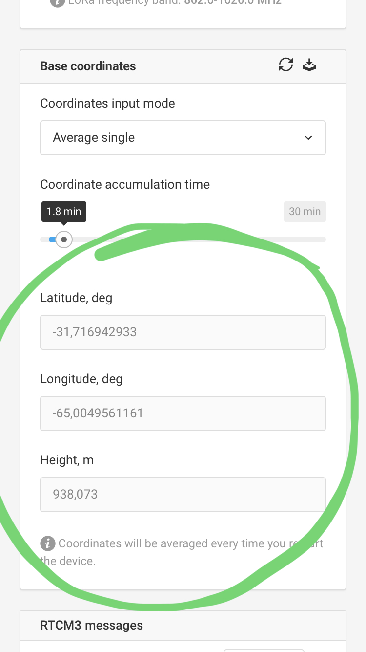
Then you save your averaged value to the manual section, and then input your antenna height.
there’s a button for saving it to manual mode in the top right of the tool.
2 Likes
good ! it’s not like one is used to working
Thank you
Christian, how to get the coordinates of the base and record them in the Rover? Or is it just writing them down manually or reading from the rinex? In my promark 3 RTK allows me to save the position of the base on the Rover
Activate base logging and it records base coordinates in the Rinex header
https://docs.emlid.com/reachrs/common/reachview/logging/#base-corrections
1 Like
This topic was automatically closed 100 days after the last reply. New replies are no longer allowed.