For now, you should assume everything ReachView/RTKLIB is WGS84. Coordinate transformations are one of the things Emlid is currently working on for release in a future version.
If you are not performing RTK, and only pulling the raw (UBX) log files for post-processing (PPK), then do not bother to enter base coordinates or antenna height. You will be entering base LLH into your post-processing software, and possibly entering the antenna offsets for base and rover as well (usually just the height).
For PPK work, you can simply run in single mode, with the satellite systems and update rate of your choice and with the raw (UBX) log turned on.
So for the job, I suppose you should take your NGS monument coordinate and transform that to WGS84, then use that to post-process your logs. Take the resulting WGS84 coordinate for the hill top, then transform back to the desired horizontal / vertical datum for your survey.
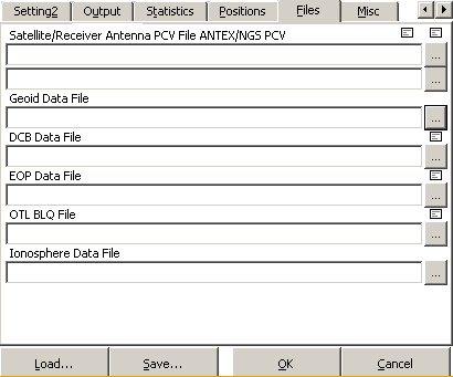
I have not used it myself, but you could also investigate the Geoid Data File input option for RTKPOST.exe: