English :
Hello, I’m a farmer. I bought a new tool (fertilizer spreader) and equipped my tractor with a Novatel AG-STAR antenna to get a GPS signal for my tool.
I would like to know if it is possible to use this antenna to get the GPS signal and have an RTK base (i have a RS and a RS+) where I get the signal with Lora or other and have a centimeter position to make autosteer system?
Thank you
Français :
Bonjour, je suis agriculteur. J’ai acheté un nouvel outil (épandeur à engrais) et on a équipé mon tracteur avec une antenne AG-star de Novatel pour avoir un signal GPS pour mon outil. J’aimerais savoir s’il est possible d’utiliser cette antenne pour récupérer le signal GPS et avoir une base RTK (j’ai un RS et un RS+) où je récupère le signal avec Lora ou autre et avoir une position au centimètre pour faire de l’autoguidage?
Merci
According to the AG-STAR specs, it can handle RTCM correction input. So, I can assume that it should work with Reach. You can use any RS/RS+ correction output method except LoRa as it’s compatible only with Reach receivers.
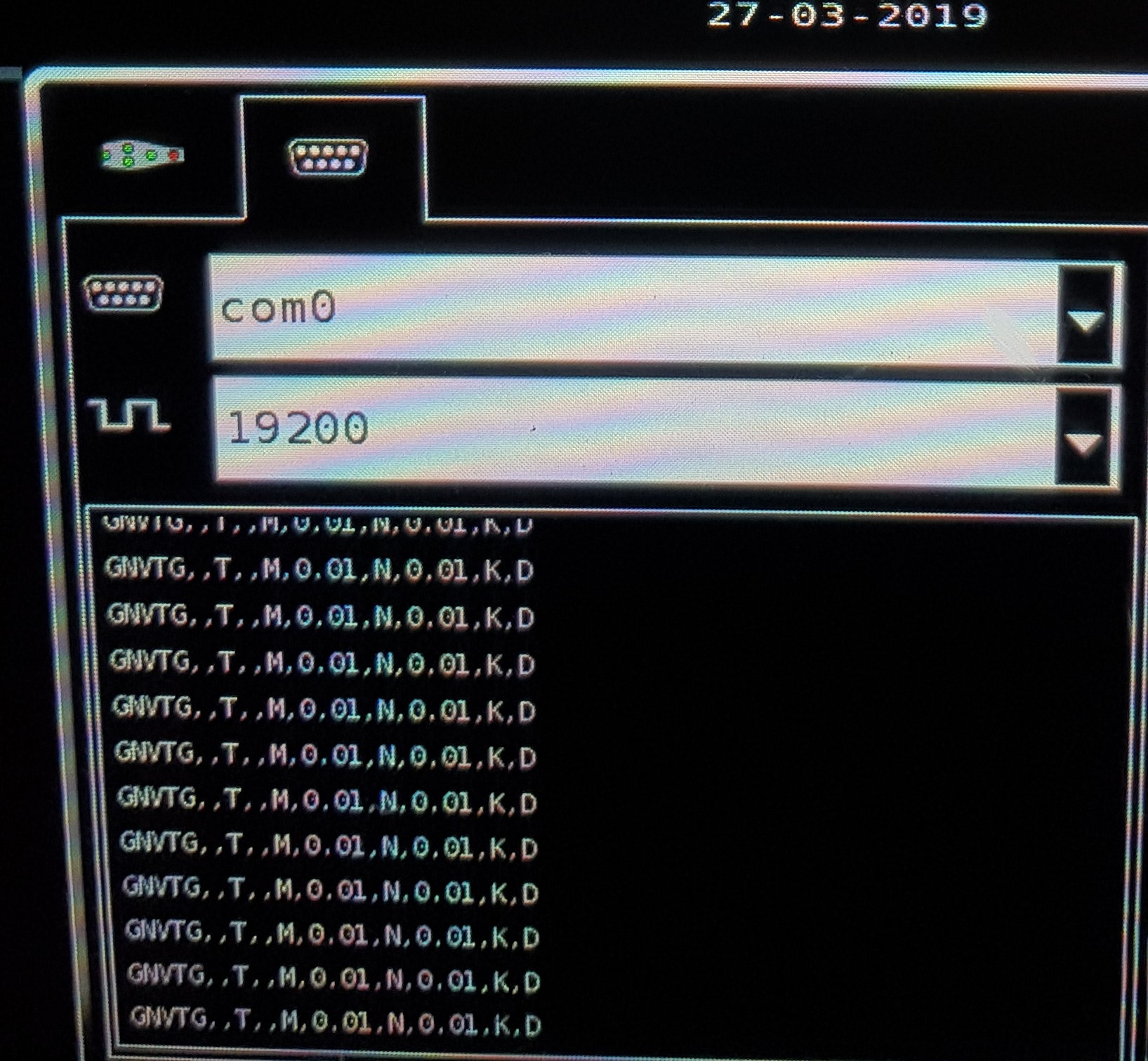
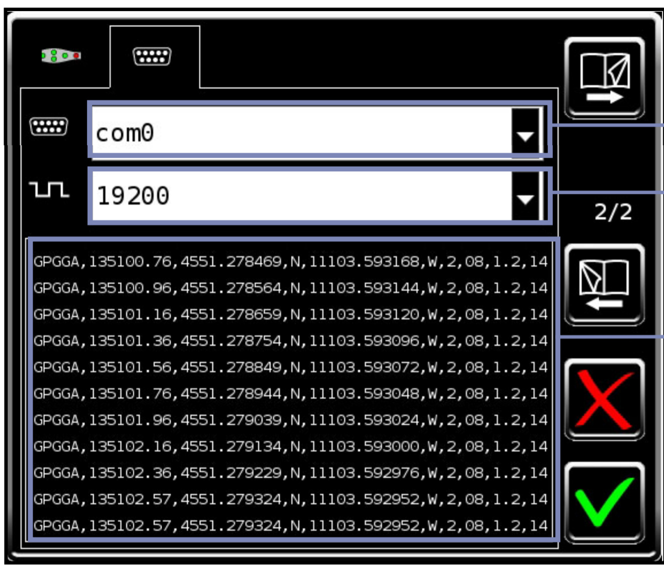
so you could run into issues but in theory it should work out. @andrew.yushkevich if you have any idea what is cousing my wierd NMEAO183-$GPGGA string or should i say lack of GPGGA feel free to call out. I get corection signals whia ntrip, and i send them nema data as well. and that works just fine so its a bit wierd rely that the corection output for spreader dont work properly.
shifting betwen float and fix whit a nice stream of green and yellow dots as i was driving along. it also showed longitude and latitude in status window. And the NTRIP service also recive NEMA data and returns corection data. So that bit seems to work fine.
Sometimes the stream from com traffic allso showed longer string seemingly consisting of postion data, is there a way to turn on logging to file of output from uart so i could get the actual transmited data that is being directed to uart(rs232). That way i could duble check it if it holds corect data. And that its not getting scrambled/interfered in the cable…
Sure. In the logging tab, just enable the position log and make sure it is set to NMEA. After logging for a few minutes, disable the log, then download it.