We are coding the integration of timestamps from Reach to Rinex and would be grateful for a test of compatibility with Grafnav/TBS/Justin or other commercial GNSS post processing software that supports event marks.
RTKLib does not yet support these.
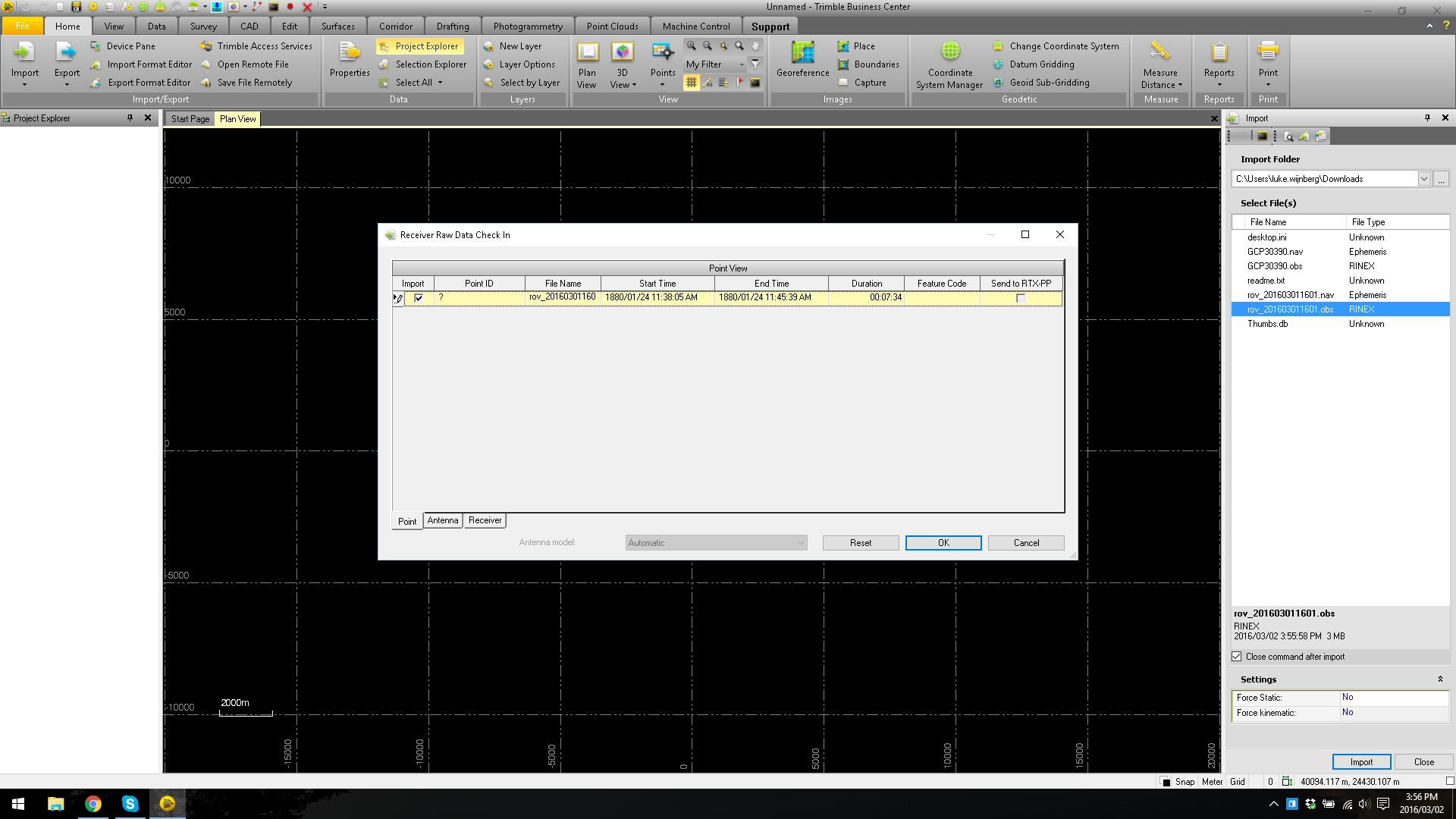
What you will need to do is simply open these files in the software and let us know whether it recognizes presence of time marks. They are implemented according to Rinex standard, but testing never hurts rov_201603011601.nav (8.0 KB) rov_201603011601.obs (2.9 MB)
Thanks for testing! Do you know if GeoOffice should support events processing? I assume that your Leica has event mark input, maybe you have some Rinex files with event marks that you can share?
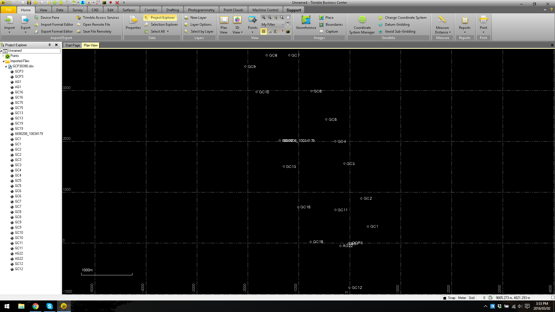
Sure thing. Here is something exported from LGO from some work we did in Zanzibar. The points observed are static. GCP30390.nav (24.0 KB) GCP30390.obs (206.4 KB)
The events which are in your files are coordinate events and look like this:
GC1                                                         MARKER NAME
GC1                                                         MARKER NUMBER
  4906454.3324  4024145.7195  -640721.7890                  APPROX POSITION XYZ
        2.0000        0.0000        0.0000                  ANTENNA: DELTA H/E/N
L1PhaOff:   0.0644  L2PhaOff:   0.0640                      COMMENT
  *** NEW SITE OCCUPATION FOLLOWS ! ***                     COMMENT
We are integrating time marks, which only store time, or EPOCH record. They would not show on the map, as there is no approximate position available. They should only be seen after processing the RINEX and then interpolating the data. I believe that there should be a function in TBC to deal with that. Could you please look for something like “camera events” or “time marks” ?
We are simply adding a line like this one, so it only contains time: 16 3 1 16 12 40.9094570 5 0
Grafnav extracts the time event marks when reading the rinex file, and outputs the mark times to a .sta file with the following format. Once the GPS is processed the coordinates of the timing marks is interpolated, then can be written out to a variety of user formats.
Cheers
$STAINFO Ver 8.20.4103 RIN2GPB RINEX
;RINEX Header Information:
; RINEX VERSION / TYPE… 2.11 OBSERVATION DATA M (MIXED)
; PGM / RUN BY / DATE…CONVBIN 2.4.2 20160301 161408 UTC
; COMMENT…log: /home/alexey/Downloads/rov_201603011601.ubx
; COMMENT…format: u-blox
; MARKER NAME…
; MARKER NUMBER…
; OBSERVER / AGENCY…
; REC # / TYPE / VERS…
; ANT # / TYPE…
; APPROX POSITION XYZ… 2762687.5687 1614968.1381 5498810.7071
; ANTENNA: DELTA H/E/N… 0.0000 0.0000 0.0000
; WAVELENGTH FACT L1/2… 1 1
; # / TYPES OF OBSERV… 4 C1 L1 C2 L2
; TIME OF FIRST OBS… 2016 3 1 16 6 21.0000000 GPS
; TIME OF LAST OBS… 2016 3 1 16 13 55.4000000 GPS
Hdr {
Proj: "NO NAME"
RxName: "RINEX"
Pos: 59.96932917 30.30902581 49.569
Mode: UNK
Hi: 0.0000 VERT
}
Sta {
ID: "NO NAME"
GTim: 230945.258642
}
Sta {
ID: "NO NAME"
GTim: 230982.775187
}
Sta {
ID: "NO NAME"
GTim: 230983.775956
}
Sta {
ID: "NO NAME"
GTim: 230984.776945
}
Sta {
ID: "NO NAME"
GTim: 230985.777573
}
Sta {
ID: "NO NAME"
GTim: 230986.778307
}
Sta {
ID: "NO NAME"
GTim: 230987.778970
}
Sta {
ID: "NO NAME"
GTim: 230988.779550
}