Hello Community,
I am having some issues with geotagging. I already read a diff post but couldn;t fix my issue. I also get the message: must contain 0 photos
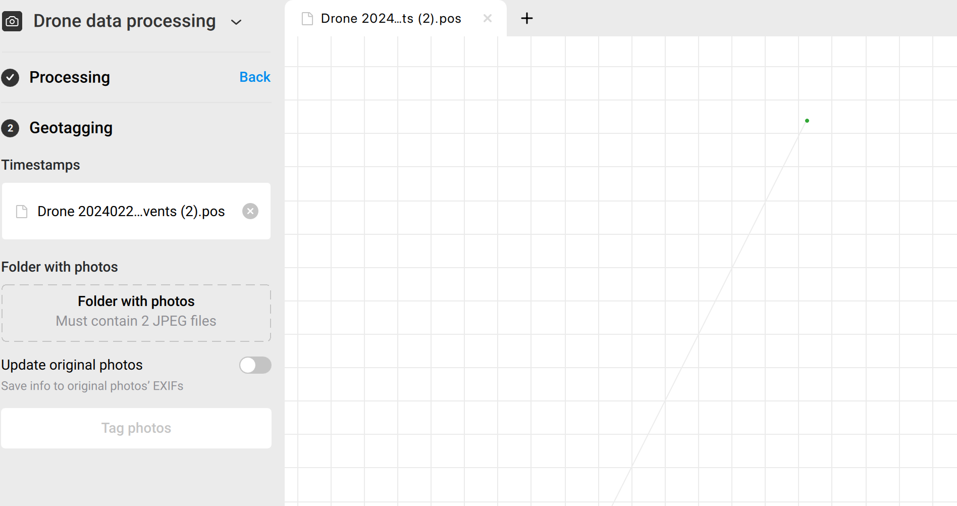
I am using a LiDAR unit and it also takes pictures. I am trying to tag those photos.
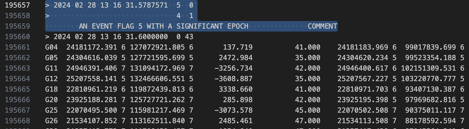
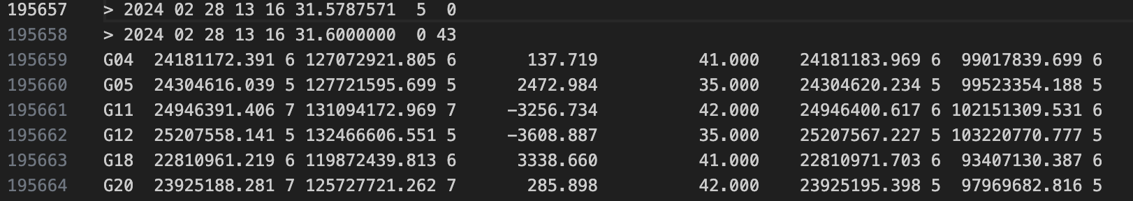
My base is a rs3 that was logging. I take the rinex (24.0) and the nav (24P) frome the base. i can export a rinex file from the lidar unit. I think that file is the issue. What is wrong with the file? No Time Marks? I can export or convert all kind of files, just cant figure out the correct one.
I can also export a .pos file from the lidar software and then the tagging in emlid studio works but the accuracy stays the same. Any ideas?
I included the files in a wetransfer link:
Please let me know what i can do.
Thankyou in advance.
Jack