


Hi guys,
for my flight…
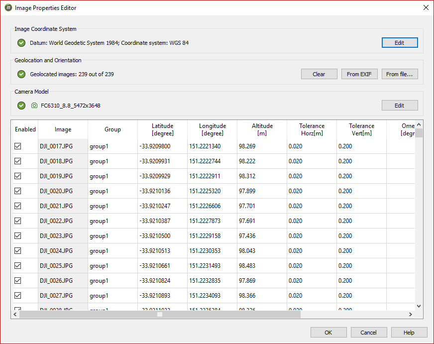
when i take photo it records coordinate of the position when it takes photo…
when i do geotag and process i locate my excel which i have latitude and longitude coordinates to fit with my photos…
if i want to get a coordinate any position from the inside of the photo… can i get this?
then i can reduce GCP by selecting photos from what i have…
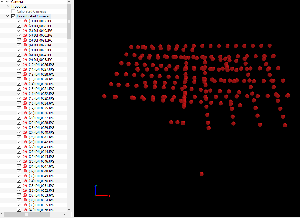
also i’m having trouble to process rapid process… it’s failing… it says processing failed and i checked the ray cloud this is what i get. is it because i need to calibrate my camera??? how do i do that???
or is it because photos don’t match with my geotag coordinates???
any comments will be appreciated!