


@igorvereninov @TB_RTK @bide
Hi, anyone know, how to use geosetter? My camera set to local time, then post process the flight track set to UTC. I need step by step how to use it. I have googled, but no result yet. Thank you
Thank you for the reply.
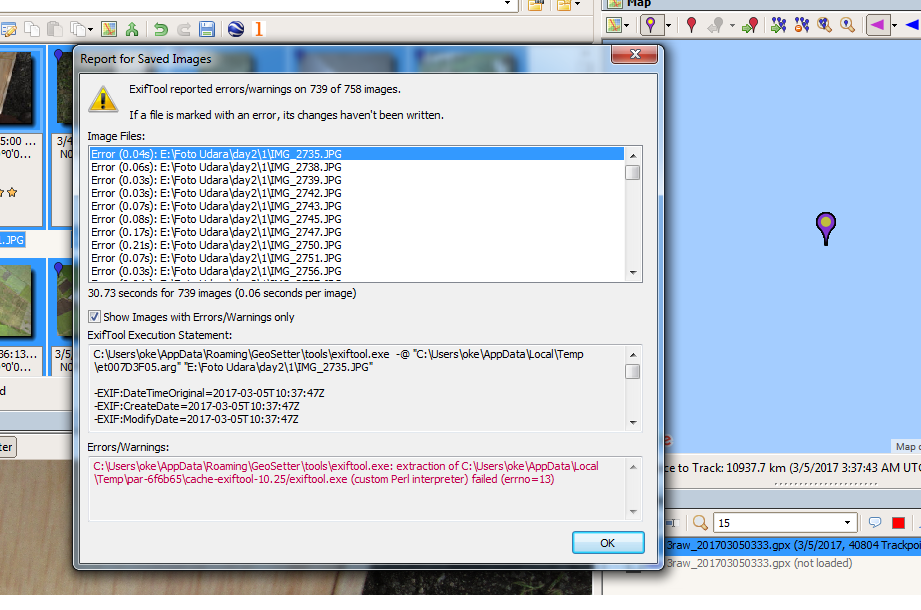
I try to synchronize time image with gps time. But failed, errno=13. I need help, please.
lol, I’m missing the solution.
TOPOSETTER program from TOPODRONE works great. http://eng.topodrone.ru/reviews/toposetter/
Geosetter works great, I couldn’t see where to download toposetter from the link.
My issue is the poorly converted .gpx files from RTKPost. I’ve used two different datasets and neither .gpx files contain elev.
this is not a solution
This errors because of RAM is not enough. When I did it in 8GB of RAM, it’s works. If I did it in 4GB of RAM, it’s only processed a few numbers of images, then I repeated for other images.
I have forgotten how to created the files for the images, but I followed the files rules which accepted by geosetter.
It’s been a long time since someone posted here, but I want to update you that now you can geotag images with the Drone Data Processing function in Emlid Studio. For this, you need raw data logs from the base and the rover, or a ready POS file with the events, and drone images.
If any questions occur, feel free to create a new thread!
2 Likes